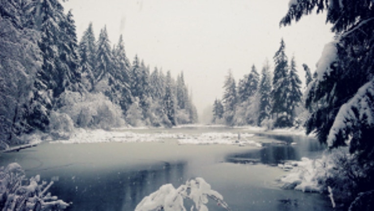
Gradually, thawing out from our December freeze

Viewer pic of some snow around Tahuya.
We're finally seeing the signs of our transition out of this bitter cold snap. Though it will take awhile for us to get back to normal temps for this time of year. (Norms for this time of year run from 45-50 for most communities in the I-5 corridor.) The moisture coming into the picture will be running up and over cold air that's stuck at the surface-- that translates into some light snow in some spots-- but not much more than an inch or so of accumulation for the South Washington coastal communities and NW Oregon cities-- that have been stuck in snow/ice/freezing temps since Friday.
We're still going to see us warm in the Seattle area up to about 35 today-- the Willamette Valley still stuck right at freezing due to east winds coming out of the gorge. Those winds look to ease up later today-- allowing for greater thawing later this week. I wouldn't be entirely surprised by a few flurries around the Puget Sound tonight-- but I don't think there's much expected for accumulating snow in most locations.
Next shot for some real precipitation looks to come back into the picture late Wednesday into Thursday. Typically we have two weather patterns in the NW this time of year: cold and dry or warm and wet. When we switch from one to the other-- we always have our best chance at some snow/ice for the lowlands of the Puget Sound. This time around, the incoming precipitation looks to arrive Wednesday afternoon-- so it would be warm enough to be rain at almost all locations. Areas where temps are still stuck below freezing or higher elevations could see this arrive as brief snow before it changes over to all rain. Highs return to the seasonal upper 40s-- and lows in the upper 30s where they belong for this time of year. And we look to be in the warm & wet pattern into the weekend.

