

Winter Storm Warning for Cascades, showers in lowlands
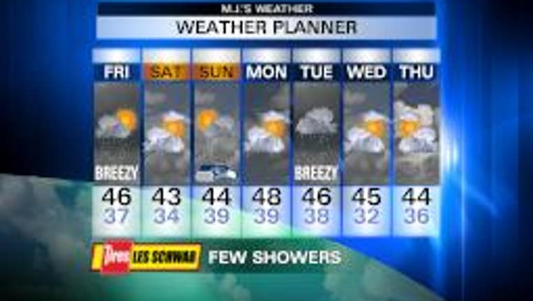
Snow is dumping in the Cascades today. There is a WINTER STORM WARNING until 4 p.m. for 1-2 feet more snow, on top of the 1-2 feet that fell in the last 24 hours. The lowlands are showery & breezy, with highs near normal - mid 40s. A Puget Sound Convergence Zone could set up this afternoon for a little extra rain in King & Snohomish County, and a little extra snow between Stevens & Snoqualmie Passes. Tomorrow looks like a breather -- partly sunny with perhaps a sprinkle. Sunday could feature a few showers. It'll be colder over the weekend, with highs in the low 40s. Bundle up for the Seahawks game (GO HAWKS!). Monday looks dry, with another wet & breezy system coming on Tuesday. Today is Pearl Harbor Day. Take a moment to remember the sacrifices of our military people.
Viewer photo of the day . . .
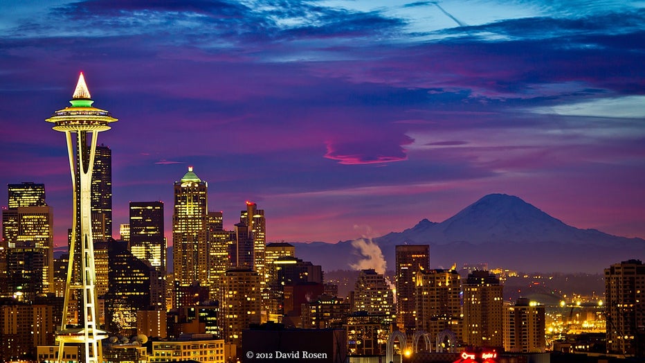
The Space Needle dressed for the holidays with Seattle & Mt. Rainier at sunset. From David Rosen, SlickPix Photography.