Octoberrr weather ahead!
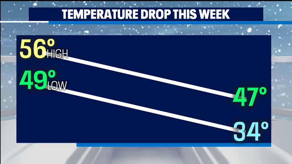
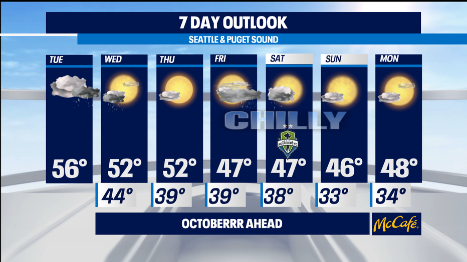
SEATTLE - Our first real cold weather of the fall season is getting closer. By late-week see high temps barely reaching mid 40s and our first frost looks to arrive for parts of the lowlands this weekend. Snow arrives for the passes for the first time too-- and even the ski resorts higher up are buzzing with enthusiasm a month early.

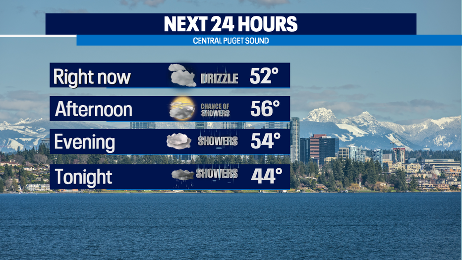
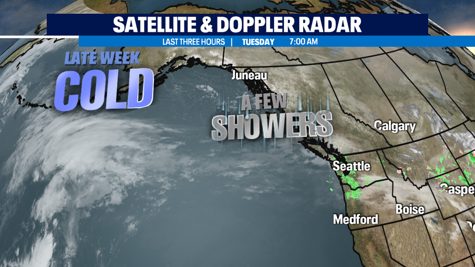
In the meantime, we've got a couple fronts heading our way dropping down from the NW. The first of two that will drop our temps arrives today. A cloudy day ahead with showers moving in from the north after dinner time, temps in the 50s.

We dry out and cool down Wednesday afternoon and Thursday, though morning fog can be an issue this time of year when skies are clear overnight and winds are calm. The worst fog happens around the sunrise, which is the coldest part of the day. The front that brings the coldest of air arrives Friday into Saturday.

As we dry out, we cool down. So, not a huge snow event for the mountains Friday night for the mountains-- but the first of the season can still catch some travelers off guard. Colder but dry for Saturday afternoon and Sunday. Our biggest ice and snow storms in our region happen when we exit a cold weather event-- so watching closely how the cold trend carries into next week.

Early indications point towards warming up away from morning freezing temps without incident, too soon to tell for sure. Stay tuned. -Tim Joyce

