

Seattle weather: Unusually warm the next two days
Temperatures nearing 70 degrees on Wednesday
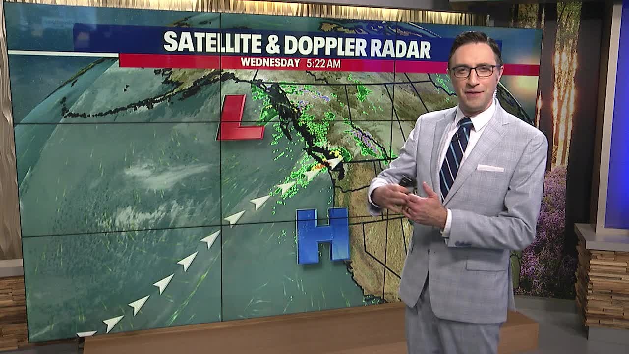
It will be dry today for most of us. Areas to the north will see rain especially near the Canadian border. The rest of us will enjoy some afternoon sunshine with highs close to 70°.
SEATTLE - Wednesday will bring unusually warm temperatures and plenty of sunshine to the Puget Sound area as a ridge of high pressure settles in over the Pacific Northwest.
High temperatures will be approaching records in the central and south Puget Sound areas. The north sound will be cooler, due to more cloud cover and rain showers.

That's all because an atmospheric river is aimed at Vancouver Island over the next 24 hours. The island will be taking the brunt of the rain, but some of that will spread inland to the rest of British Columbia. San Juan County, Clallam County, and parts of western Whatcom County will be on the south end of that band of rain and could catch showers at times.


Average high temperatures fall into the 50s, starting Thursday. After Thursday, we'll see a gradual decline in temps as cooler air arrives.

Light rain showers will return on Sunday and Monday with a potential for heavier rain on Tuesday. High temperatures mid to late next week will be in the mid-50s. That will be our coolest stretch in a long time.
