Cool, showery weekend on tap with a chance of thunderstorms rolling through

Cooler temperatures with a chance of thunderstorms this weekend
Q13 News Forecaster Erin Mayovsky has a cooler forecast for this weekend.
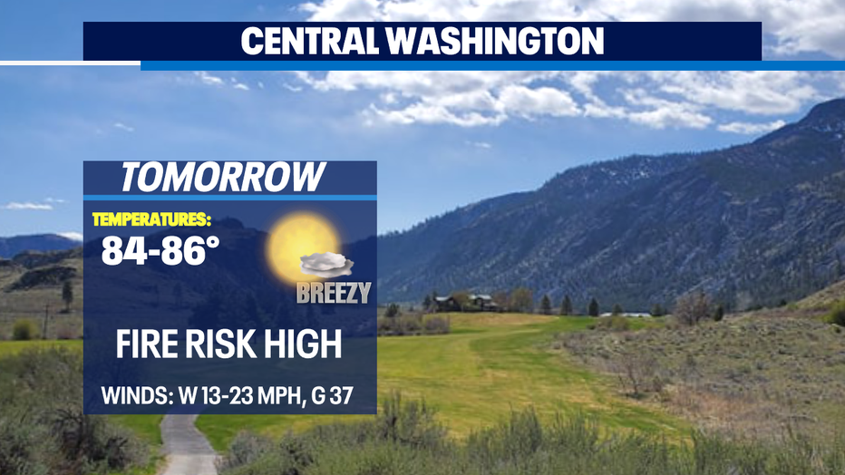
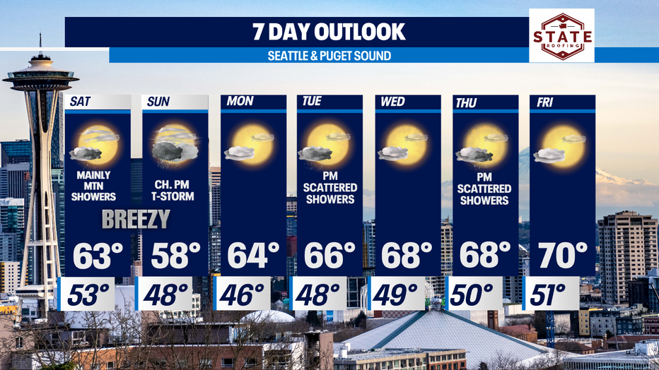
SEATTLE - Expect much cooler highs as we take in the first weekend of June. Temperatures will feel more like the start of Spring with highs dropping into the upper 50s by Sunday! That will feel chilly for sure after seeing highs soar above normal this week into the mid to upper 60s west of the Cascades with triple digits for Eastern WA.
Overnight clouds thicken up and showers start to move inland off the coast.
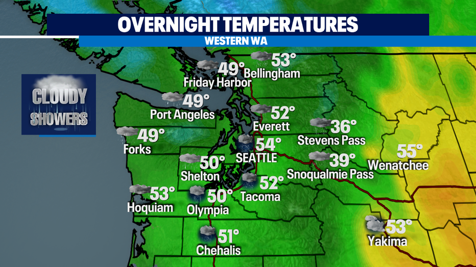
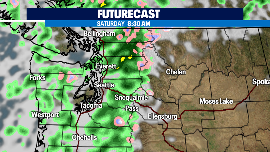
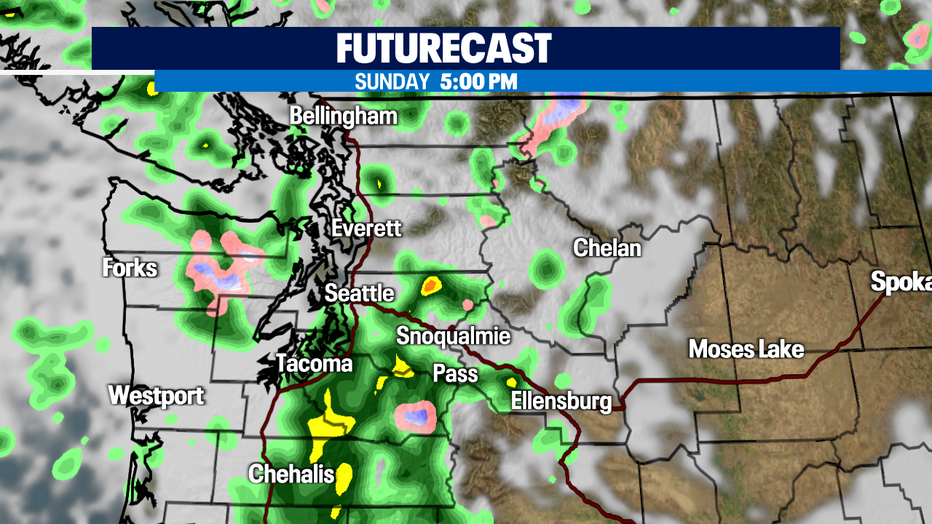
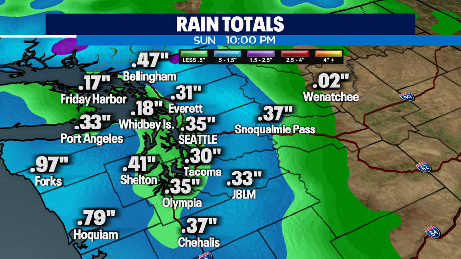
Saturday expect showery and breezy weather with light rain totals in the bucket. Highs only reaching the low 60s. Another front will push in Sunday afternoon/evening delivering a bit more rain and wind to the region. We're keeping an eye on the South Sound and Southern Cascades for possible thunderstorms.
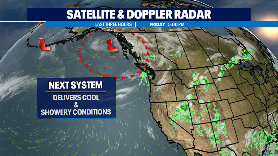
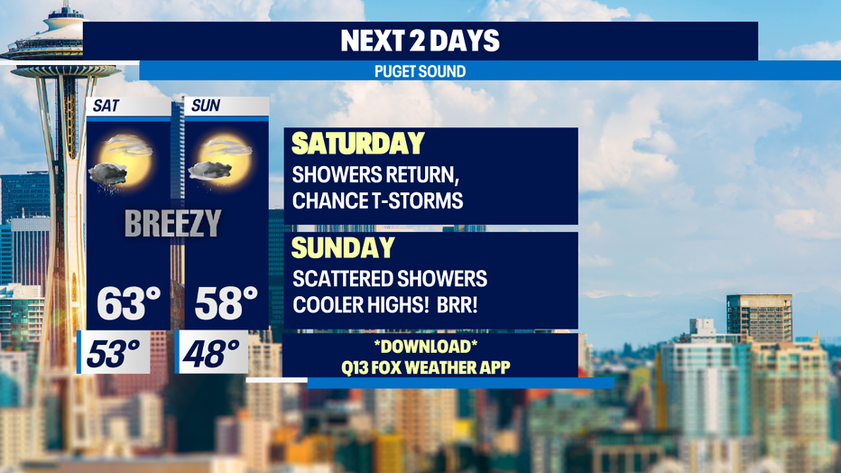
Saturday showers look heaviest over the Northern Cascades with dry periods for the lowlands. Sunday afternoon shower pick up over the South Sound and Southern Cascades.
Next week starts of cool in the mid 60s, about 10 degrees below the seasonal average for this time of year. An upper trough just off the coast could bring a few more scattered showers for Tuesday afternoon. Highs near 65.
Wednesday, we dry out some and gain a few degrees into the upper 60s. Thursday afternoon/evening we'll see another chance for a few more showers moving up from the south across the Cascades and into the lowlands. By dinner time the metro area has a chance of showers. Friday looks dryer at this point with highs both days near normal at 70.
Have a great night! ~Erin Mayovsky, Q13 Forecaster
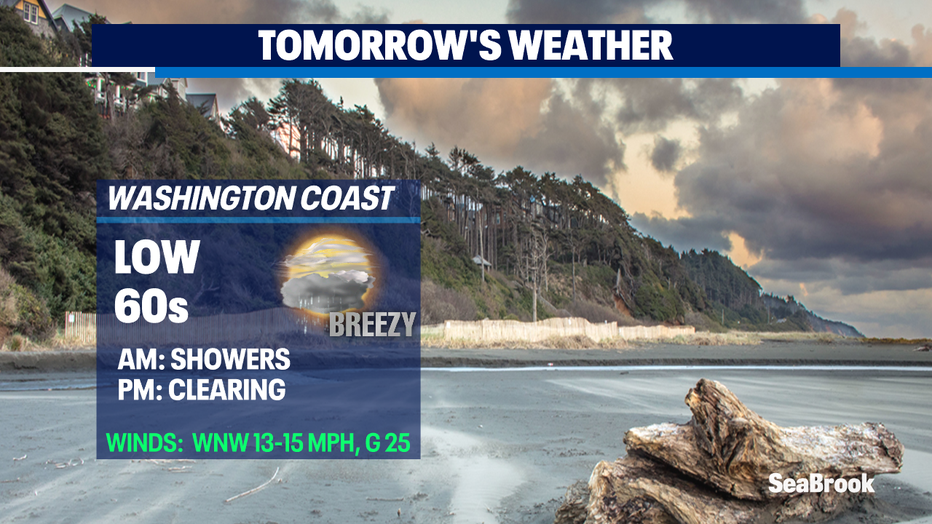
*Beach Forecast
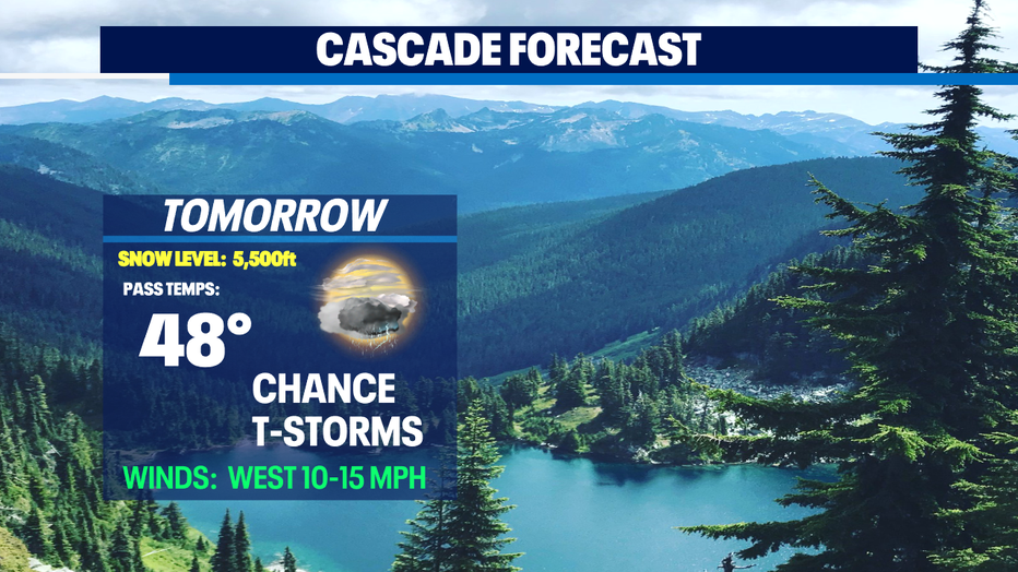
*Mountain Forecast
*Eastern WA Forecast