

Severe weather guide for Washington Huskies fans visiting Houston for CFP National Championship game

Husky legend previews National Championship game in Houston
Husky legend previews National Championship
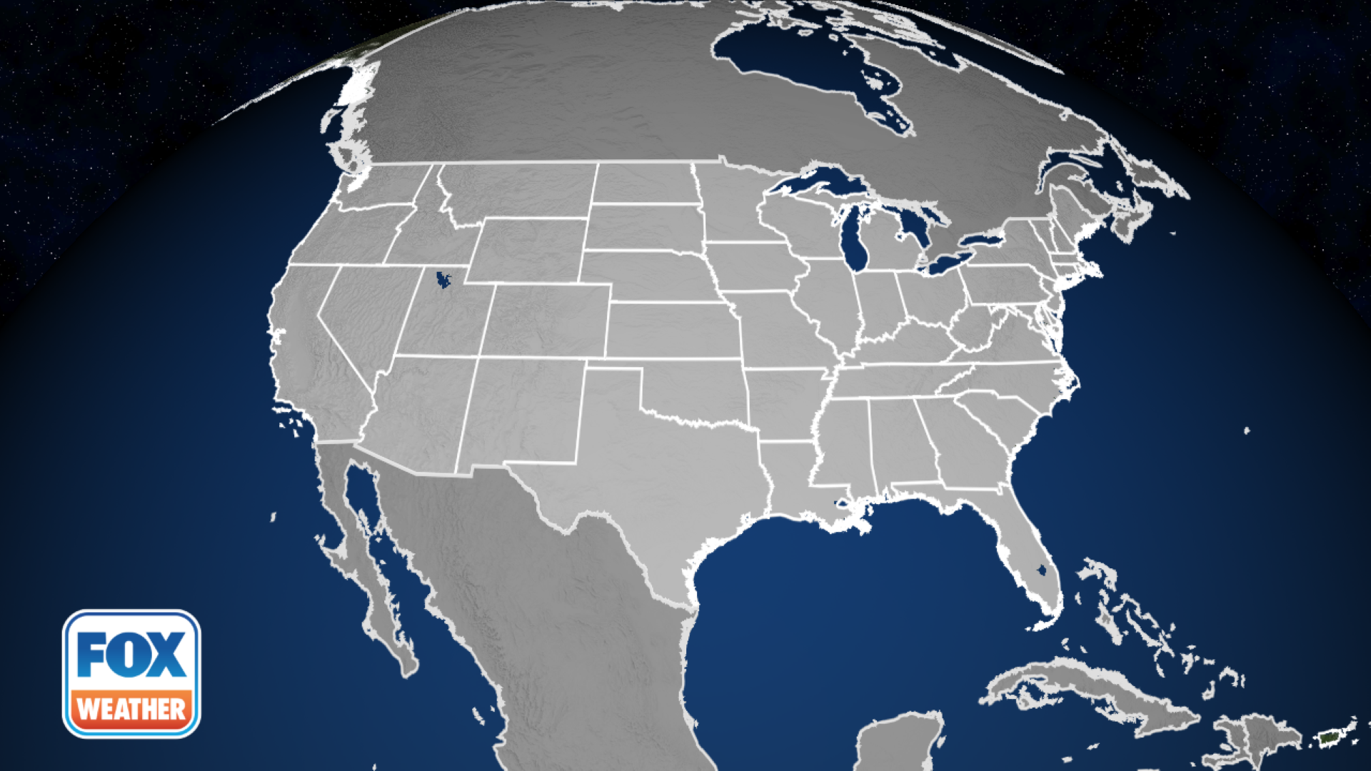
HOUSTON - Thousands of college football fans are making the trek from the Pacific Northwest and Great Lakes to Houston to see the Washington Huskies and Michigan Wolverines compete for the NCAA College Football Playoff National Championship game Monday evening, but the weather awaiting them will feel nothing like home.
Forecasts show a potentially dangerous severe weather threat for the Houston area on Monday, with a risk for supercell thunderstorms capable of producing strong tornadoes, damaging wind gusts, frequent lightning, and large hail.
The game is being played indoors at NRG Stadium, but severe weather could be a factor at times throughout the late afternoon and into the early night. And many coming from the Northwest likely have little to no experience with severe weather as thunderstorms are rare along the Pacific Coast.

Number of Severe Thunderstorm Warning and Tornado Warnings issued by National Weather Service office over the past 5 years. (IEM / Iowa State University)
Over the past five years, there have been just a handful of severe weather warnings issued around the Seattle area, compared to hundreds to thousands across the Midwest and East. Neither Washington nor Oregon have ever been inside a Tornado Watch.
With that in mind, here is a guide for those who may not be familiar with the severe weather terminology and alerts that may be broadcast around Houston on Monday.
Before the storms arrive:
Storm Prediction Center issues severe weather risk
Monday morning, NOAA's Storm Prediction Center upgraded the Houston area to include the city under a more dangerous threat of severe weather later in the day.

(FOX Weather)
The SPC has a 5-level scale that estimates the likelihood, coverage, and intensity of severe weather. A Level 1 "Marginal" risk would mean just isolated severe thunderstorms are possible, while a Level 2 "Slight" risk means severe storms are forecast to be a bit more prevalent. Once you reach Level 3 and higher, a more widespread severe weather event is likely. Houston in now in a Level 3 risk zone.
THE 5-POINT SEVERE THUNDERSTORM RISK CATEGORY SCALE EXPLAINED
The SPC will also issue specific outlooks for possibilities for tornadoes, large hail or damaging winds inside severe storms. Houston is now inside a "hatched area" on the map to indicate an additional risk of upper-end severe weather events, such as tornadoes of EF-2 or stronger strength on the Enhanced Fujita Scale, wind gusts of 75 mph or greater, or hail of at least 2 inches (approximately golf ball size).

(FOX Weather)
WHAT DOES A ‘HATCHED AREA' MEAN ON A SEVERE WEATHER MAP?
Severe Thunderstorm or Tornado Watches issued
When severe weather is mere hours away, the Storm Prediction Center might issue Severe Thunderstorm or Tornado Watches. In Monday's case, a Tornado Watch has been issued for a swath of the Gulf Coast that includes the Houston area until 9 p.m. CT.
(FOX Weather)
A "watch" means conditions are favorable for the event -- for severe thunderstorms, that means thunderstorms carrying large hail and/or damaging wind gusts of 58 mph or greater. A Tornado Watch means conditions are favorable for tornado development and close attention to the weather is warranted.
HOW YOU SHOULD PREPARE FOR A TORNADO
When the severe storms arrive:
When threatening storms develop and move into an area, now the local National Weather Service will issue warnings, meaning dangerous conditions are happening or imminent.
Severe Thunderstorm Warning: Thunderstorms that are carrying damaging wind gusts of at least 58 mph and/or contain at least quarter-sized hail are occurring or imminent.
Flash Flood Warning: Flash flooding is occurring or imminent. Watch for quick moving waters and remember if approaching water-covered roads, turn around, don't drown.
Tornado Warning: A tornado has either been indicated by Doppler Radar or confirmed sighted by spotters. If you're in an area when a Tornado Warning is issued, seek shelter immediately. If inside the stadium, follow all directions from stadium staff. Area hotels should have a designated tornado shelter and post procedures in the room what to do in case of Tornado Warning.
If tailgating in the parking lot, try to get inside the stadium as soon as possible or a nearby building and put as many walls between you and the outside as possible. Cars will protect you from lightning, but not from a tornado.
If driving to or from the game, and a tornado warning is issued or you spot an approaching tornado, the best course of action is to pull over and seek shelter. If there are sturdy buildings around, enter one and go to its lowest level without windows. If no such shelter is available, find the lowest point on the ground, such as a ditch or culvert, and lie down, covering your head with your hands. NOAA recommends getting as far away from your car as possible in that situation. Try to avoid places with trees or other objects that might get picked up by the tornado.
THIS IS WHAT YOU SHOULD DO IF YOU ARE DRIVING AND THERE IS A TORNADO ON THE GROUND
Severe Weather buzzwords:
Here are some terms you might hear during weather broadcasts of severe events:
- Supercells: The strongest of thunderstorms that can produce the majority of long-lived strong and violent (F2-F5) tornadoes, as well as downburst damage and large hail.
- Funnel Cloud: A "tornado" that is not reaching the ground. Once it touches ground it becomes a tornado.
- Mesocyclone (or "Meso"): A region of rotation, typically around 2-6 miles in diameter, found in supercell thunderstorm that indicates an area of possible tornado development.
- Hook Echo: A radar pattern characterized by a hook-shaped display. Often is associated with a mesocyclone, and indicates favorable conditions for tornado development.
- Shear: Variation in wind speed and/or direction over a short distance within the atmosphere. Key ingredient for rotation.
- Squall Line: A line of intense thunderstorms, either continuous or with breaks
- Derecho: A widespread and usually fast-moving windstorm triggered from a line of intense thunderstorms. They produce damaging straight-line winds over areas hundreds of miles long and more than 100 miles across.
- Downburst: A strong downdraft current of air from an intense thunderstorms. Downdrafts may produce damaging winds at the surface.
- Gust front: The leading edge of gusty surface winds from thunderstorm downdrafts
- Scud: Small, ragged, low cloud fragments that are unattached to a larger cloud base. Sometimes mistaken for funnel clouds.
Get critical weather alerts with the FOX Weather app
Mobile devices have made it easier than ever to stay informed about the weather. Before severe storms hit, make sure your device is fully charged and configured correctly to get weather alerts.
The FOX Weather app can send you alerts whenever severe weather threatens your location. Here’s how to set them up:
- Tap on the gear icon in the upper-left corner of the homepage.
- Tap on "Locations," and make sure that you have the "Enable current location" option turned on.
- Tap the back button and then tap on "Notification Management." Make sure the "Current Location" option is turned on under "Severe Weather Alerts."
You can also watch live FOX Weather coverage anytime inside the app by taping the "Watch" button from the app.
Hopefully severe weather won't be an unwanted guest for the big game but if it puts on a surprise blitz you'll be ready to avoid its sack.