Perfectly October day ahead
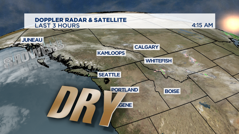
SEATTLE - A beautiful day around the Pacific Northwest with morning fog evaporating into beautiful blue skies for later today.
It is a chilly start to the day with many places starting out in the 30s and some spots in Central and Eastern Washington getting a bit frosty for a few hours around sunrise.

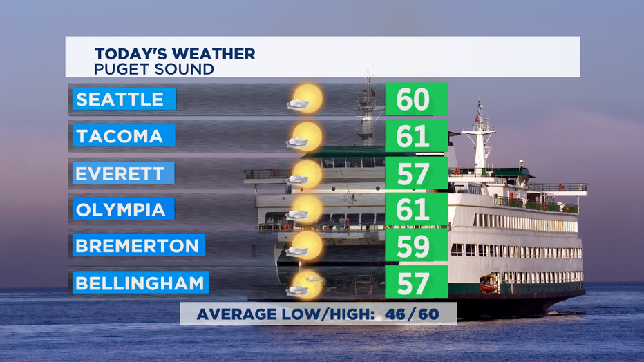
Today will be a dry day today, but clouds will start moving in from north as we get into the later hours of the afternoon. We'll manage to get some high temps near 60 again. 60 degrees is spot on for normal for this part of fall.

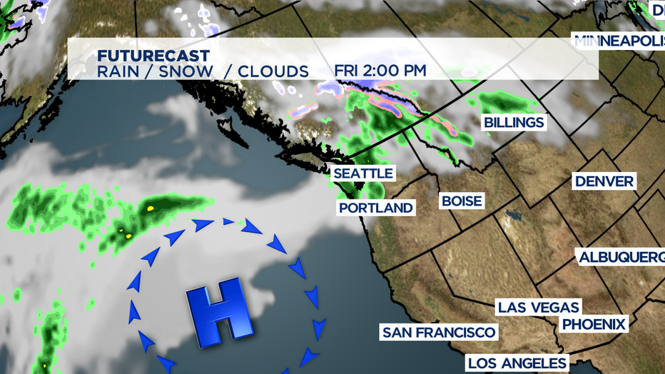
High pressure sits off shore and the next few weather systems will go up and over that ridge and drop down from the north getting into the weekend. Nothing especially stormy ahead, just light steady rain for an hour or two as each front passes- and some passing showers here and there.

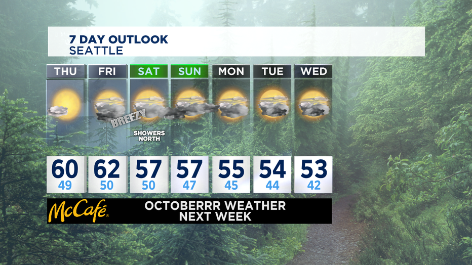
Friday rain looks to move into the Central Sound by the afternoon but will be pretty short lived. Most of Saturday looks pretty pleasant with some rain moving in from north to south later in the afternoon/evening. We'll see on/off passing showers for most of the coming week ahead. While every day next week has a chance of showers-- no day looks rainy all day long. Definitely try to enjoy the dry breaks when we get them.

What you'll really notice next week is the cold temps in the afternoon. We haven't seen afternoon highs in the low 50s since early April. That will mean significantly lower snow levels in the mountains too. Octoberrrr for sure around the NW soon.
-Tim Joyce

