Another warm summer day, but change is on the way!
SEATTLE - Change is on the way!
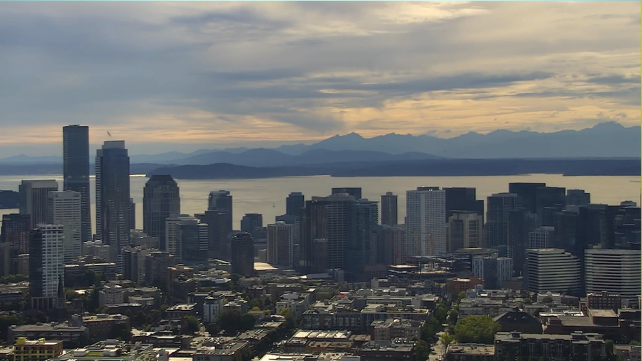
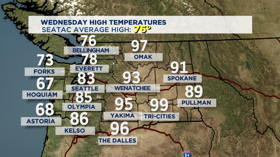
You probably felt the air shift early this evening as we began to cool down from our 80 plus degree day. We have now seen 33 days at 80 or above. The average for this time of year is 26 days for 80 plus. Wednesday saw highs at the coast in the 60s, with 70s through the islands and North Sound, with low 80s south.
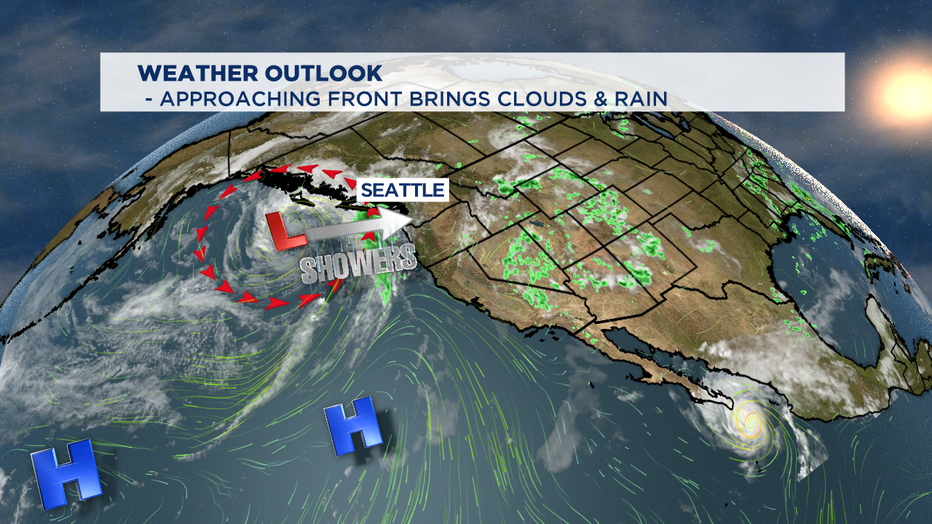
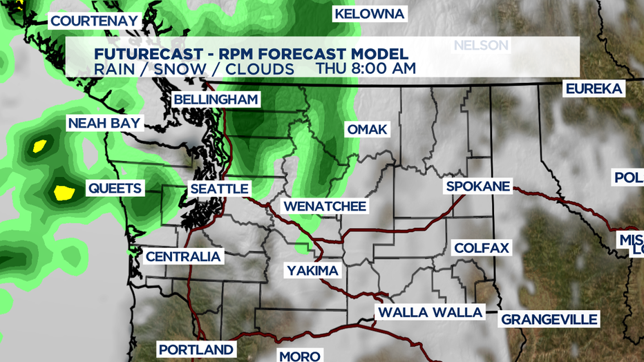
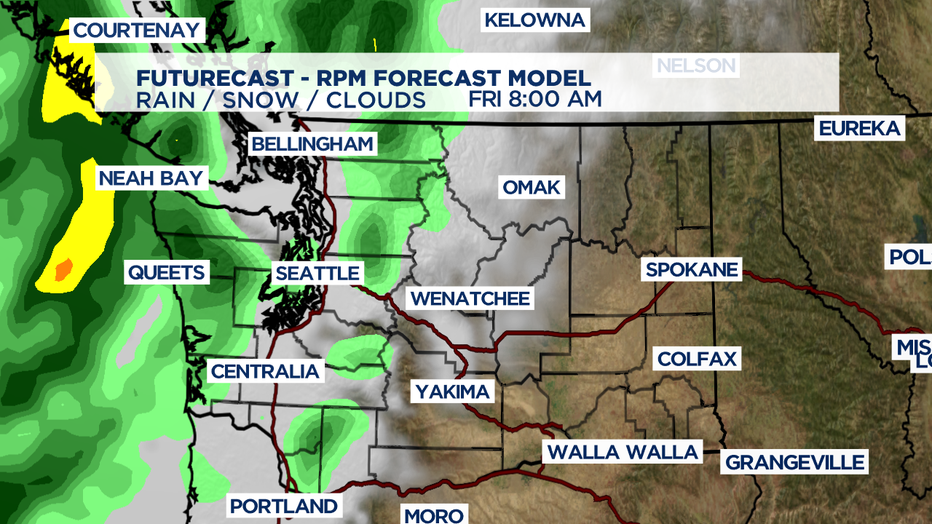
Overnight we can expect showers to develop as a weak front pushes inland through Thursday. Highs will drop another 8-10 degrees around the region. Seattle should land right near our norm for this time of year at 77. Friday we'll cool off a little more into the low to mid 70s as another system, possibly packing a stronger punch, delivers more showers with a chance of some thunderstorms too.
And just as we get used to the rain we dry out as high pressure builds back out to bring us back more summer sunshine. The weekend looks really nice with partly sunny days and highs in the mid to upper 70s.
Have a great rest of the week all! Erin
___________________________________
- Erin Mayovsky, Q13 Forecaster
Twitter: @ErinMayovsky
FB: /ErinMayovsky
Instagram: @ErinMayovsky
___________________________________