Out dry trend continues with warmer highs as we push into the weekend.

Great weather for Friday's Mariners game
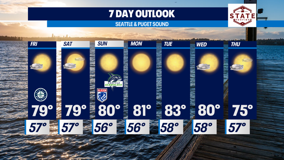
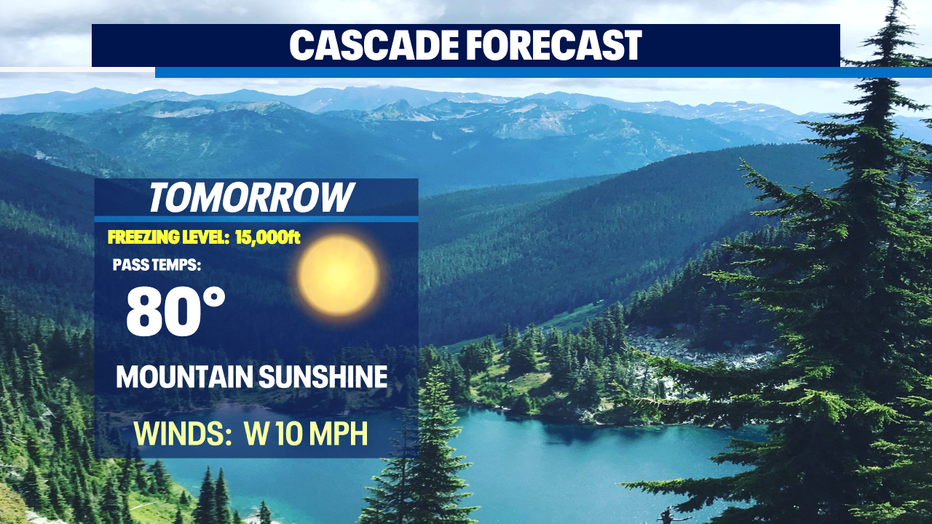
Temperatures will stay in the high 70s to low 80s for the next week
Seattle - Happy Thursday!
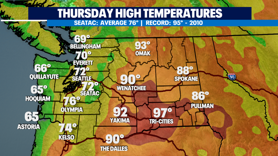
Highs landing below average today. Most areas seeing 60s and low 70s. Normal for this time of year is 76 and tomorrow that ticks up to 77.
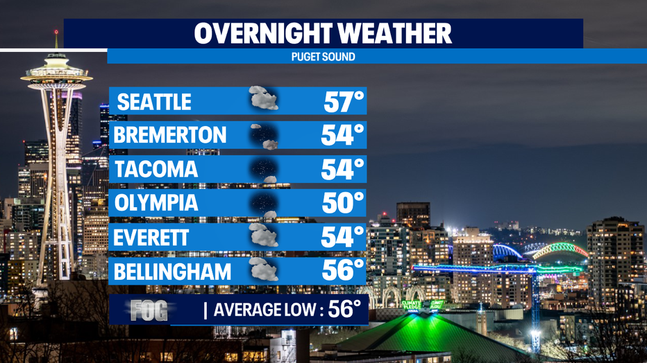
Tonight, clouds will increase with onshore flow and some areas may see patchy fog as they start the day.
As high pressure strengthens Friday low level onshore flow weakens allowing clouds to clear quicker and daytime heating to start earlier. Highs should climb into the upper 70s to near 80.
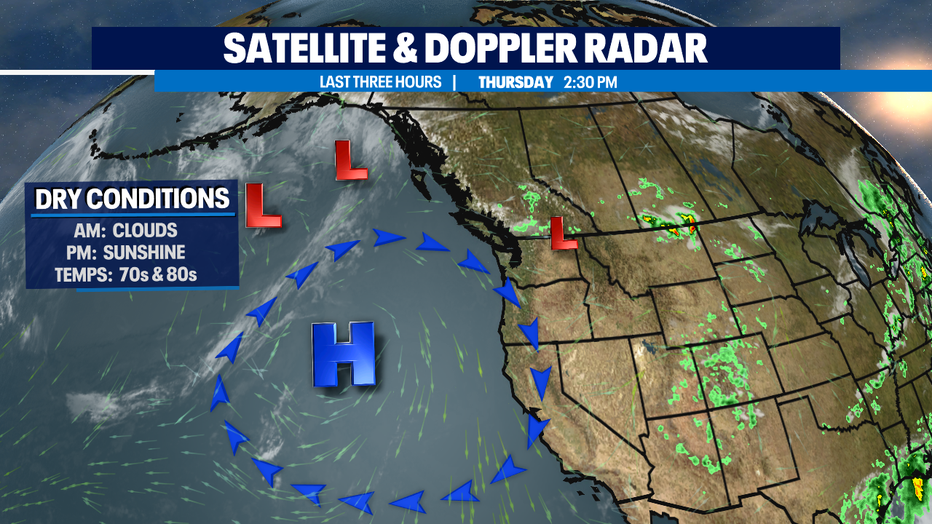
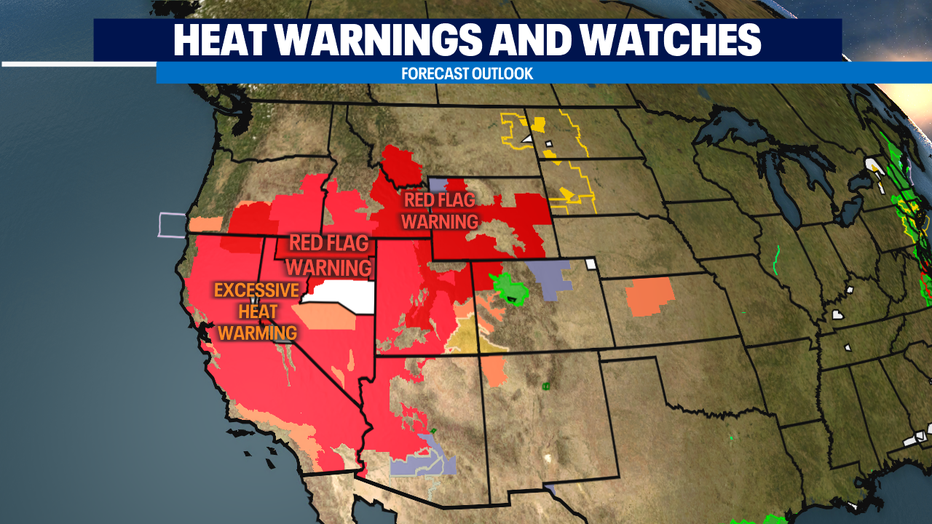
Much of the Northwest now free of watches and warnings as we close out the week. We are keeping an eye on Eastern Oregon and Southern Idaho as those areas are still under Red Flag Warnings and Excessive Heat Warnings along with California and Nevada too. With such dry tinder grounds all it takes is one small spark to ignite the rapid spread of wildfires. Be safe and know your surroundings.
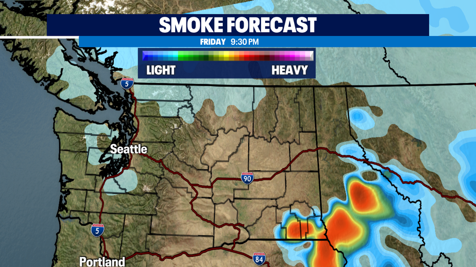
The smoke forecast will mainly affect Eastern WA near the Canadian border and portions of Southern WA and Idaho, but a little haze may drop into Puget Sound by late Friday night.
Next week's theme… dry and warm with highs landing in the low 80s most of the week. Tuesday looks to be the warmest day of the week! Enjoy!
Have a great night! ~Erin Mayovsky, Q13 Forecaster
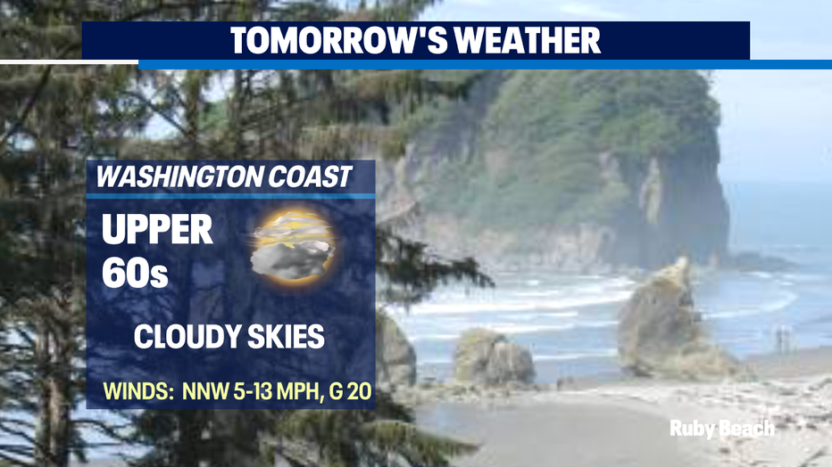
*Beach Forecast
*Mountain Forecast
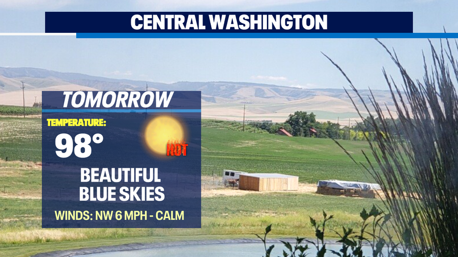
*Central WA Forecast