

Seattle weather: Wildfire smoke moves into Western Washington

Smoke to move into Western Washington Thursday
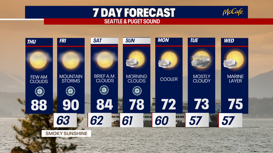
Highs on Thursday will warm even further into the upper 80s to low 90s.
SEATTLE - Hot temperatures and wildfire smoke from Eastern Washington will push into the Puget Sound area Thursday.
Temperatures will soar into the upper 80s and low 90s Thursday as wildfire smoke moves in.
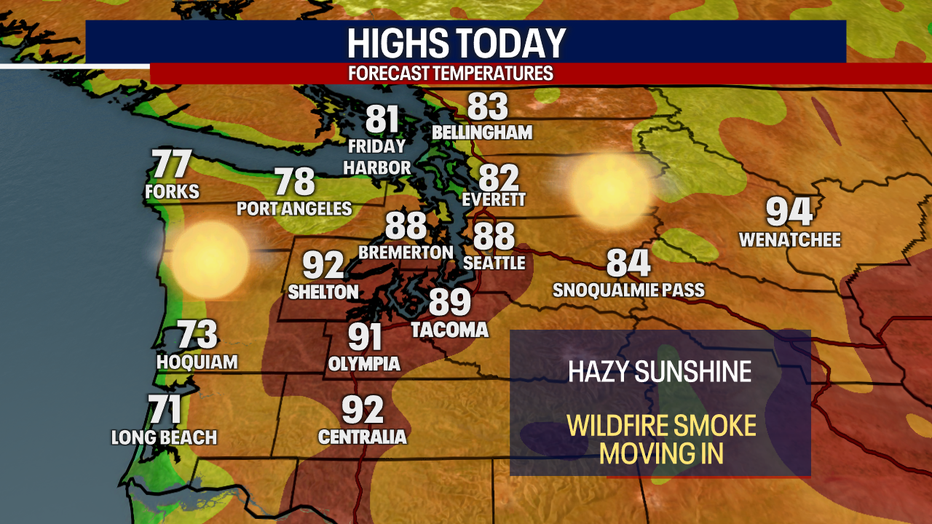
Temperatures are heating up in Western Washington Thursday with hazy sunshine. (FOX 13 Seattle)
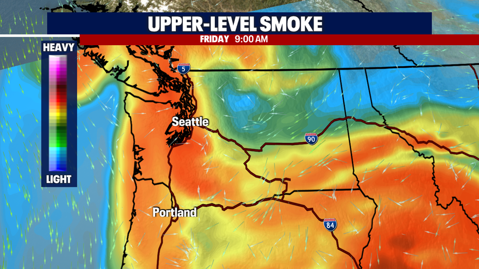
Upper-level smoke will be most prominent on Friday, as the area continues to see easterly wind.
Smoke from wildfires burning east of the Cascades will move into Western Washington Thursday. (FOX 13 Seattle)
Most of the areas we expect to be hardest hit with surface level smoke will be south of Olympia, into the southwest interior. Homes and businesses in Lewis, Cowlitz, and Clark counties will be at risk for "unhealthy" levels of air quality at times Thursday and Friday.
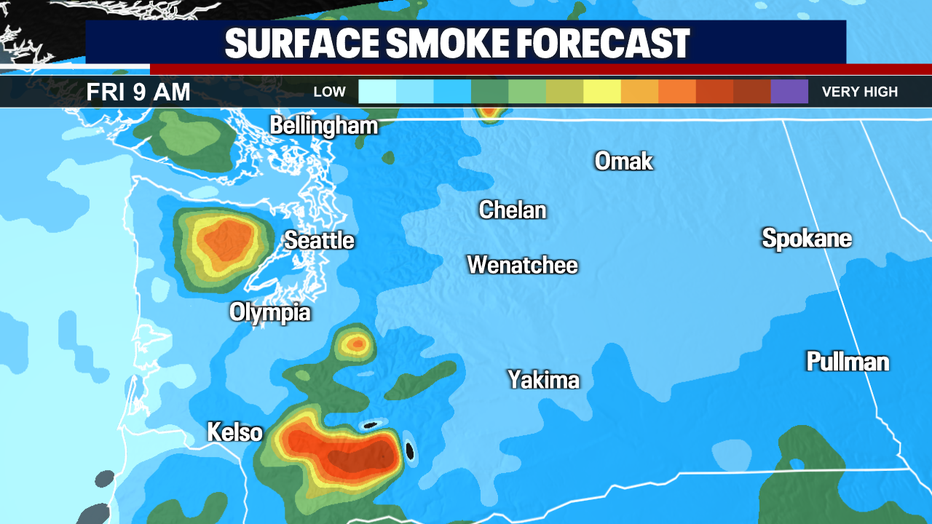
Surface level smoke could impact air quality in Western Washington starting Thursday. (FOX 13 Seattle)
We will also be watching a chance for thunderstorms Friday over the central and northern Washington Cascades. The best chance for thunderstorms will be in the afternoon and early evening hours.
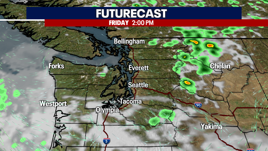
Thunderstorms are forecast for the Washington Cascades Friday afternoon and early evening. (FOX 13 Seattle)
A stronger western push with move smoke out of Western Washington on Sunday and move clouds into the Puget Sound area Sunday morning. We're expecting cooler than average temperatures most of next work week.
Smoke will clear out by Sunday in Seattle with cooler temperatures and more clouds. (FOX 13 Seattle)