Summer vibe continues across Washington!
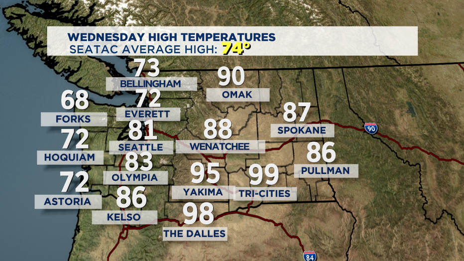
SEATTLE - Another stellar day across the region. After a pretty decent layer of fog over Puget Sound skies cleared out for a blue-sky kind of day with highs jumping up again above normal. Here's a look at where we landed this afternoon.
Our ridge of high pressure is certainly living up to expectations as blues skies dominate our forecast. We'll ride out the rest of the work week with this ridge and by Saturday it will slide east over Idaho. But don't worry, another ridge is building in right behind it that will help boost our highs even warmer for Labor Day and into next week. Temperatures will jump into the mid to upper 80s with some spots near or above 90! HOT!
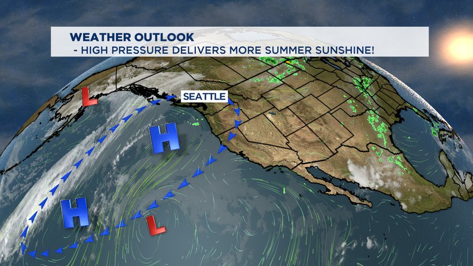
So, for Thursday and Friday we can expect a similar marine push as we saw Wednesday morning. Let the foghorn blow! The coast and to the south in the usual spots along with Puget Sound should see a nice blanket of fog. And just as soon as the sun comes up we'll see the low-lying clouds and fog start to clear out. And as we get into the hottest part of the day some spots will be 6-10 degrees above our average high temp of 74 for this time of year. Not bad!
Winds will shift from northerly to westerly by Saturday giving way to a slightly cooler day. Look for highs to drop into the low 80s for the metro area with temps near 70 for the coast and through the Strait.
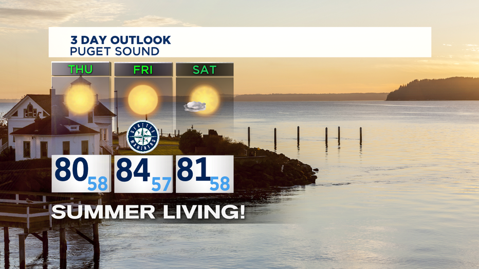
As our second round of high pressure settles in Sunday winds will shift again back to more northerly. Our marine push will be come weaker producing dryer and warmer conditions each and every day through mid week. Sunday highs will land in the mid 80s with temps climbing into the upper 80s to low 90s by Wednesday. Keep the sunblock handy and stay hydrated!
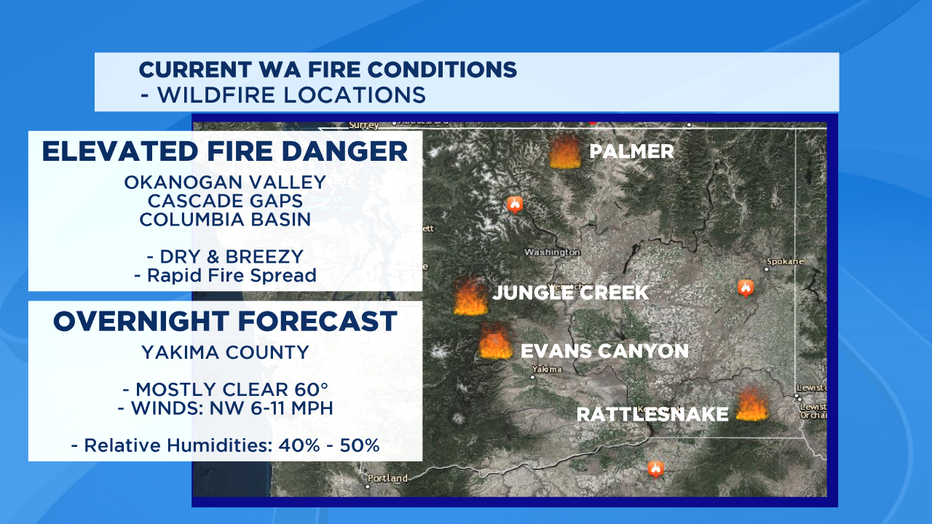
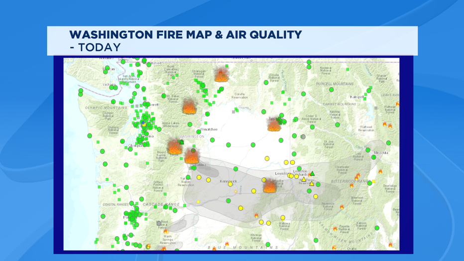
One more note with highs pushing to near the low 90s west of the Cascades fire danger is elevated. This kind of heat and dry condtitons is not good, especially for Eastern WA as temperatures will push up close to triple digits. Dry tinder grounds and relatively low humiditiy with breezy days can contribute to fueling fires.
Have a great night all! ~Erin
________________________________
- Erin Mayovsky, Q13 Forecaster
Twitter: @ErinMayovsky
FB: /ErinMayovsky
Instagram: @ErinMayovsky
________________________________
