

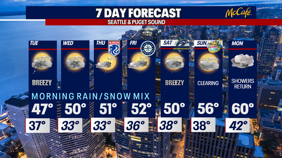
A winter mix is back in the forecast tomorrow morning
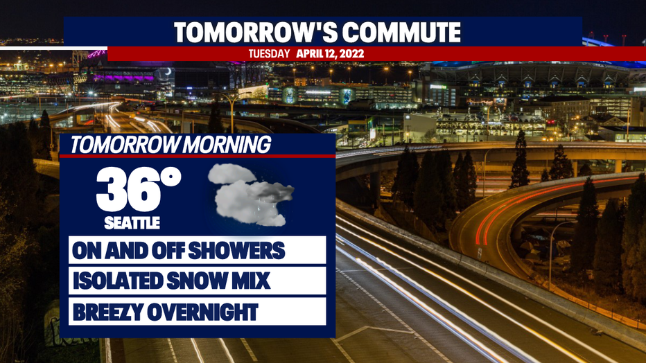
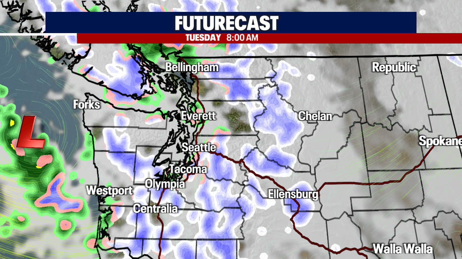
Seattle - A winterly mix is expected tomorrow morning as temperatures fall into the mid-30s once again. This won't be as significant as it was this morning but still present. Most of us can expect on and off showers throughout the night.
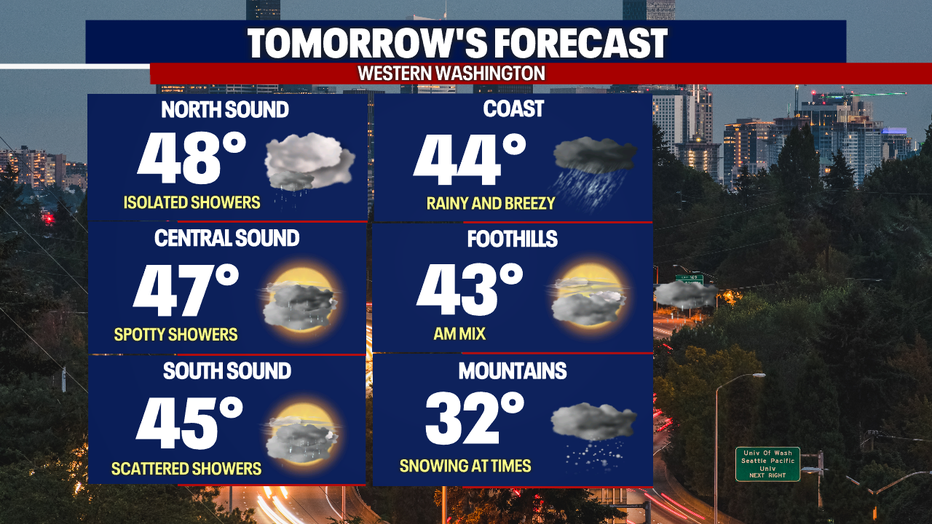
The showers will continue throughout the day along with sun breaks. A low-pressure system will trigger this activity and keep temperatures below normal.
Highs will only peak in the mid-upper 40s. That's about 10 degrees below normal!
This trend continues through the majority of the week as an upper-level low drags the jet stream towards the south. We won't see temperatures punching back up until the end of the 7-day forecast.
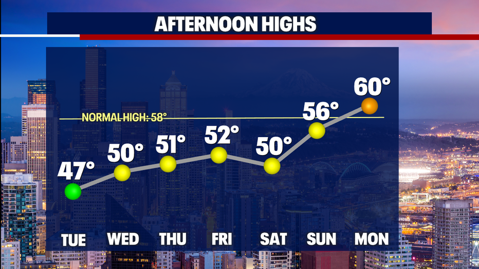
Here is a look at what we can expect this week:
Have a good one!