

Cooler temps and mountain snow ahead
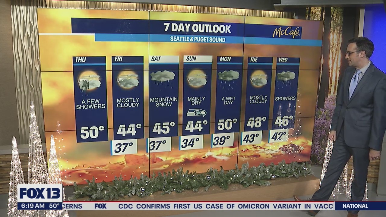
Rain returns Saturday as temperatures drop
FOX 13 Meteorologist Brian MacMillan has cooler temperatures headed for Western Washington.
Seattle - A shift in the weather pattern this week will introduce a cooler airmass and the return of mountain snow.
After some convergence zone showers mainly in Snohomish and King counties this morning, we will be back to drier weather this afternoon. Temps will be about 5-10 degrees cooler today with highs around 50 degrees. That's close to average for this time of year.

The next weather system will hit the area on Saturday, bringing widespread rain showers to the Puget Sound area and snow to the mountains. If you're traveling over the mountain passes on Saturday, you will need to be prepared for some winter driving. Snow totals could top out in the 6-12" range.

Snow levels will bounce between 2,500-5,000 feet throughout the week, so snow could impact the passes again early next week.

For the lowlands, rain showers will return to the area Saturday, Monday, and Wednesday with a dry day in between each system. Overall, temps will be at or slightly below average with much cooler nights, into the 30s.
