Gorgeous close to Wednesday with more dry weather for Thursday too

Thursday brings warmer temperatures and a dry day
Western Washington is finally seeing a dry day on Thursday after constant rainfall.
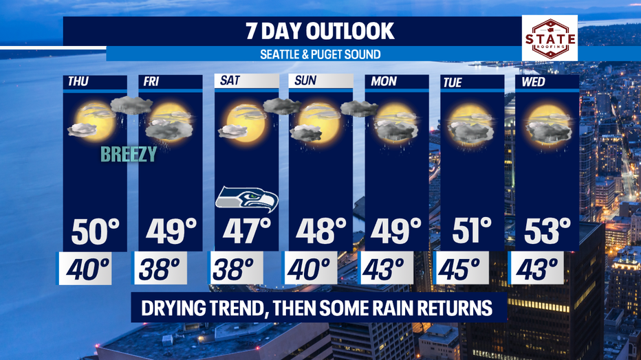
SEATTLE - What a beautiful day after all that rain, wind, and mountain snow. We'll continue with the dry theme for Thursday as a weak, brief ridge builds in over the region. Temperatures will remain above average through the weekend and into next week.
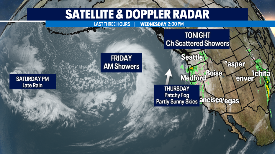
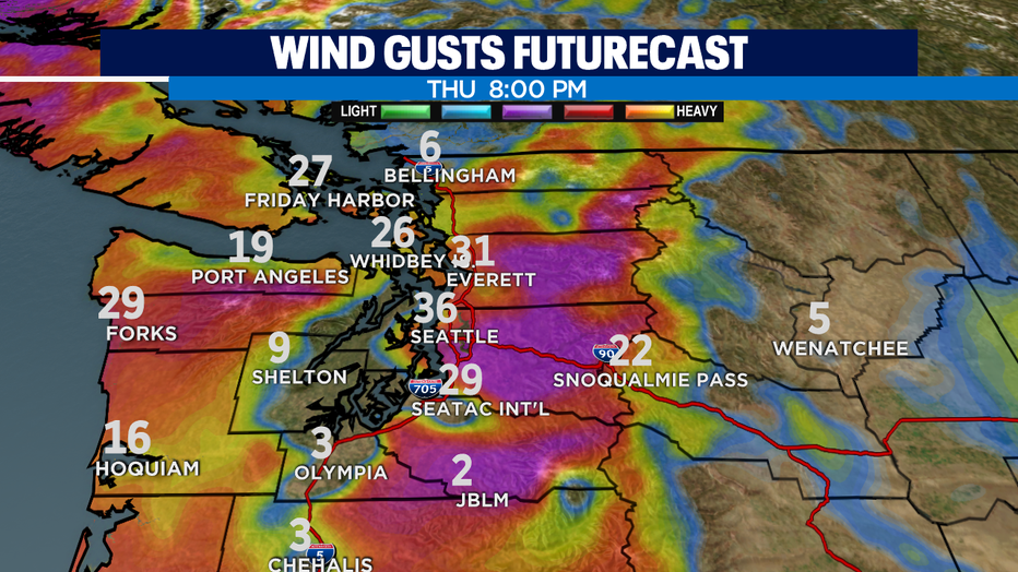
Tonight clouds will increase some and we may see a few sprinkles into the overnight hours. Some of us will wake up to patchy fog too. Look for clearing as we push through Thursday. Just before sunset we'll see partly cloudy skies. After dinner clouds will thicken up again ahead of the next weather maker. As we wait for the rain to move inland winds will pick up out of the east gusting from the Cascade gaps into Western WA. Some of us could see winds peak near 40mph through the Central Sound. Here's a look at our furturecast wind model.
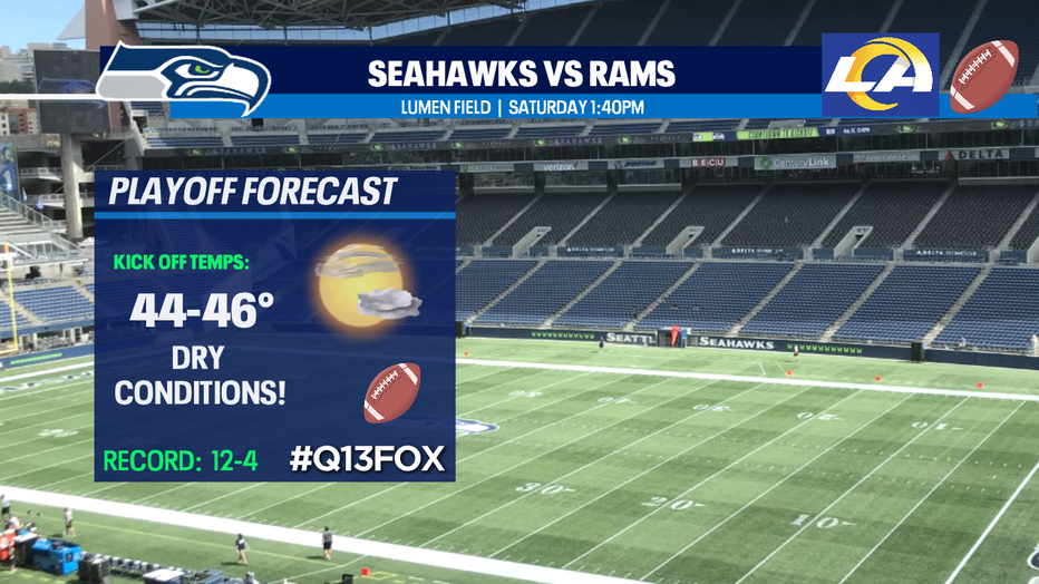
Rain will follow the winds late Thursday into Friday. Showers will taper late morning into the lunch hour Friday for a dry afternoon. Much of us will remain dry through late Saturday night. Seahawks Saturday looks promising at this point. Kick off from Lumen Field against the rival LA Rams is set for 1:40 p.m. on #Q13Fox.
Showers move in off the coast about 10 p.m. Saturday night and hang with through Sunday morning. A few scattered showers will linger to the north and along the coast, but we should be dry for much of Sunday before showers return overnight. Highs over the weekend remain in the upper 40s to low 50s.
As we start the week expect heavy rain at times with mountain snow. The threat for river and urban flooding will increase along with the potential for more landslides and mudslides around the region. Be aware of your surrounding!
Have a great night! ~Erin
______________________________________________
- Erin Mayovsky, Q13 Forecaster
Twitter: @ErinMayovsky
FaceBook: /ErinMayovskyTV
Instagram: @ErinMayovsky
______________________________________________
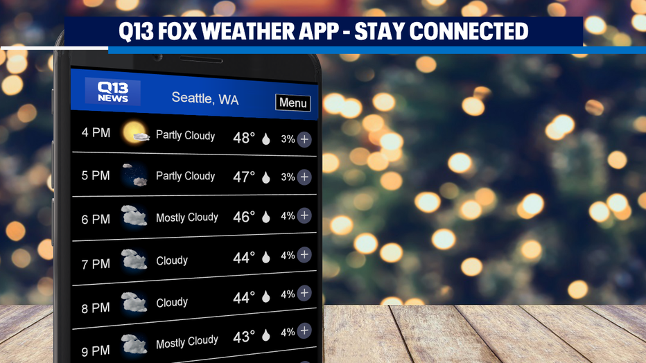
*Make sure to download our #Q13Fox Weather App to help you plan your day!