

Seasonally soggy for Easter weekend

SEATTLE - Mostly dry and seasonal temps for today and tomorrow before rain returns as we get into Saturday evening.
It seems fitting that on a day when nowhere else in the lower 48 states has rain or snow in the forecast, that we see a slight chance in one spot right here in Upper Left, USA: the Olympic Peninsula and Washington Coast.
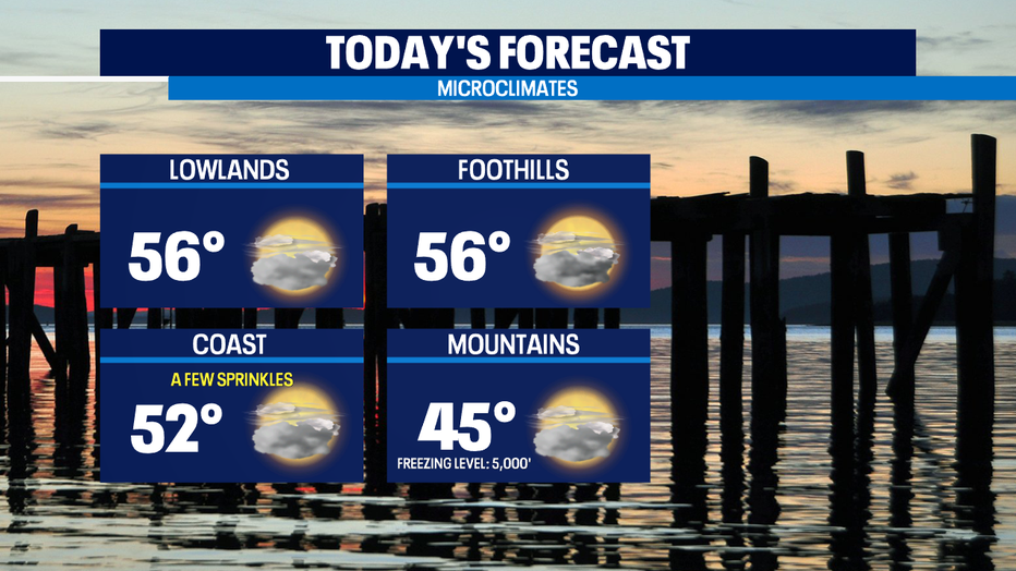
Right now we've got a stalled front up to the north and an onshore flow that looks to keep us with more clouds than sun today. Saturday looks dry for the free day at Washington State Parks. But, getting into Saturday night that front currently over British Columbia looks to drop south into our region.
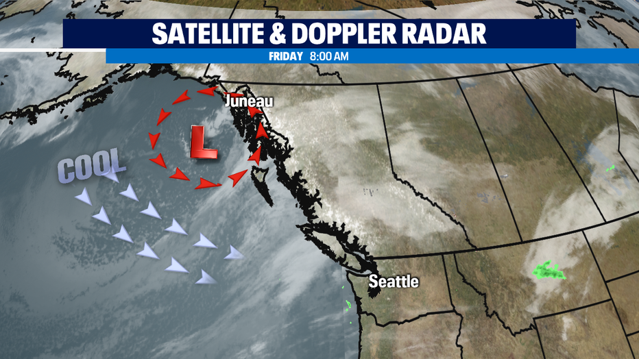
The best news about this Easter rain is the timing: at this point, it arrives late enough on Saturday and leave early enough on Sunday that most of your outdoor plans could be left intact. Sunrise is at 6:41a on Sunday, so I'd still bring a hooded warm jacket to those sunrise Easter services in case lingering showers are still around. Especially for areas from Seattle southward towards Portland.
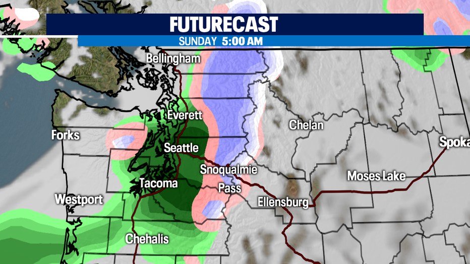
While Sunday afternoon looks dry, what you'll really notice that day is the significantly cooler temps with highs only in the upper 40s and a few spots will manage to crawl into the low 50s. Normal is now 57 for this part of spring.
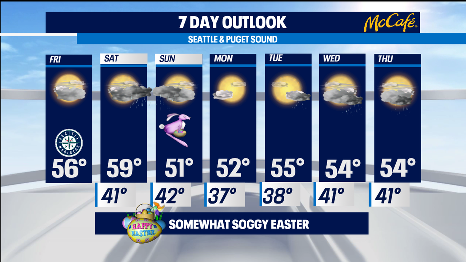
We start out next week dry-- but it looks like seasonal passing April showers are back by the middle of the week. Thursday could end up being pretty soggy.
-Tim Joyce