

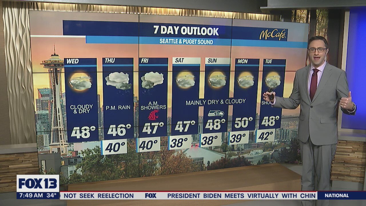
Showers return Thursday, but overall drier weather ahead
Chilly temperatures to start the day
Wednesday is starting off with chilly temperatures and will be cloudy with dry conditions.
Seattle - After a very chilly start for many around the Puget Sound area, Wednesday will bring increasing clouds but stay dry.
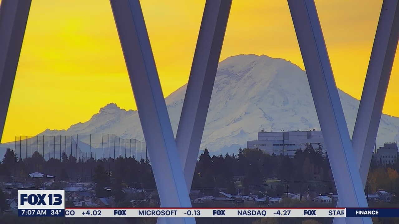
We had a spectacular sunrise this morning across Western Washington. Check out the view from our Capitol Hill camera in Seattle… GORGEOUS!
This will be the second dry day in a row. We haven't done that since October 30-31!

But… and yes of course there's a "but"… we all know that this time of year the dry weather doesn't last long. Rain returns to the area Thursday afternoon and evening. We could see up to a half inch of rain from this wet system, with most of the accumulation in the south sound area.

That system will push south into Oregon on Friday, leaving us mainly dry after a few morning showers. The Cascades will catch a few inches of snow at the pass level Thursday night into Friday. After that, we'll have a nice stretch of mainly dry weather through the weekend and into early next week. I don't see any big soakers, lowland snow, or stormy weather ahead for at least the next seven days.
