Smoky weekend ahead
SEATTLE - Usually when winds come off the Pacific Ocean, they bring cool and cleaner air inland. That is not the case when wildfire smoke from California and Oregon has been building for days and days out at sea. Now, those onshore winds pushing in cooler temps, but a wave of smoky air has washed over the entire region.
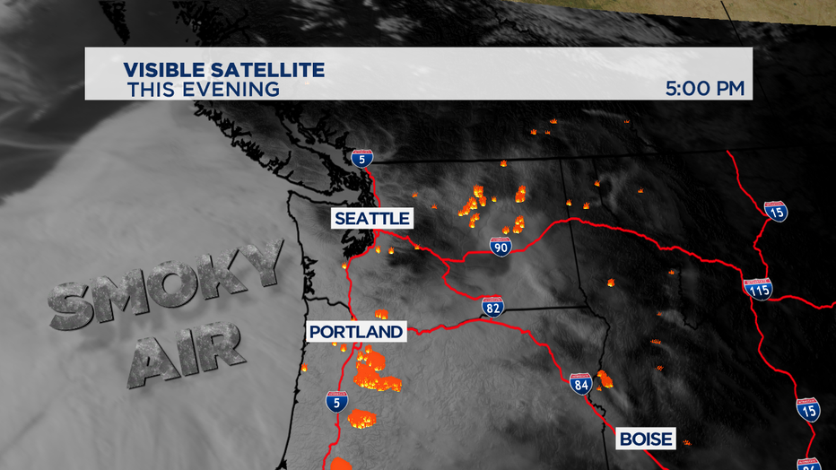
Smoke wants to rise, but high pressure is a downward force in the atmosphere-- pushing smoke and the particulate matter in the smoke down towards the ground. The storm track is well up to the north around Juneau, Alaska. That dome of high pressure sitting over the Pacific Northwest is acting like a lid and the smoke and hazy air has no where to go. It looks like we wont see too much relief until Monday.
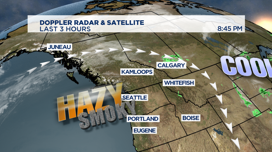
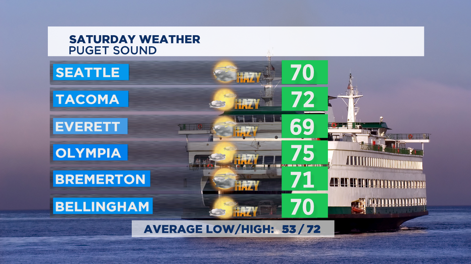
Saturday could actually be worse than Friday, with hazardous air quality condition for the entire state. It's best to stay indoors as much as possible, wear an N-95 mask to keep those microscopic smoke particles out of your lungs, and not doing strenuous activities like exercise outside for sure. So a mix of clouds and sun with a thick smoky haze expected again for Saturday. High temps near the normal of 72 for this part of late summer.
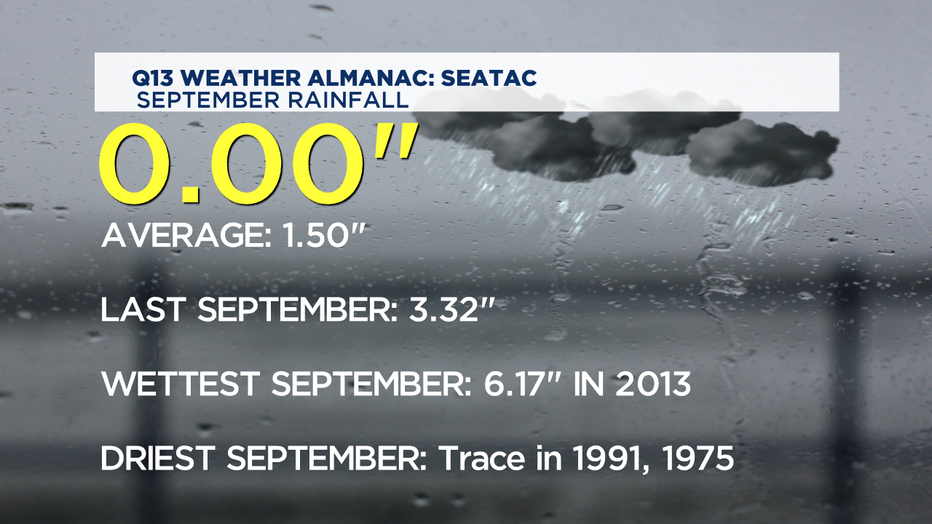
Rain is what we really need to scour out our skies, but we'll have to wait unitl Mon/Tue for that to happen. And at this point, it doesn't look like the soaking rain we'll need. This is our driest part of the year, but this July and August were both unusually dry around Puget Sound-- and we've seen zero rain since this month started. New wildfires could be sparked easily, so your best fire safety practices are beneficial for all of us.
The incoming raindrops could last from Monday mid-day on/off into Wednesday morning before we dry out again. Temperatures for the week ahead look like they'll be pretty seasonable and pleasant.
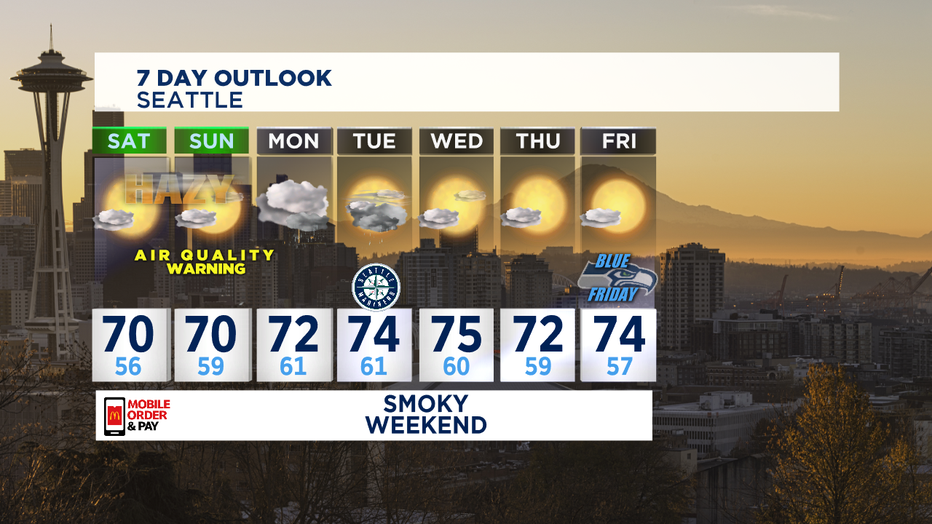
If the smoke clears out completely, which I'm only hesitantly optimistic about, the second half of the week could be some picture perfect September weather. Stay tuned. -Tim Joyce

