

Wet Wednesday, but improvements ahead

SEATTLE - We’re in a weather pattern where we see 1 soggy day, then 1 day with showers/sun/rainbows, then 1-2 nice days. Then we do it all over again.
If this patten feels familiar, it's because this is the second time we've done this in the last few weeks. Two more rounds look likely ahead.
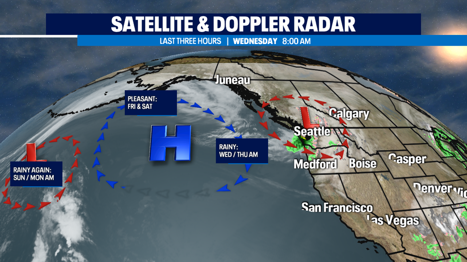
Today a frontal system will bring rain and locally windy weather in the morning then convergence zone sets up to create an area of steady light rain for a few hours in the afternoon/evening to King & Snohomish Counties (with again the chance of small hail and maybe isolated clap of thunder or two). Highs will be back down to near 50.
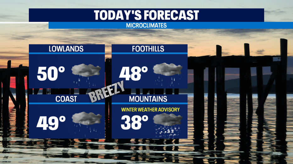
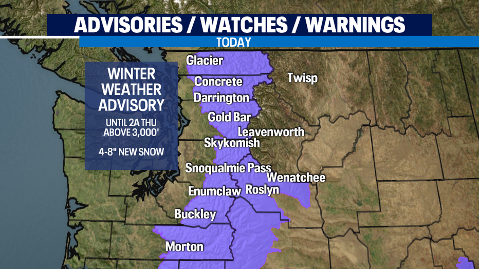
Windiest spots will be north and on the coast. Mountains get 4-8" with winter driving conditions at the passes. Winter Weather Advisory goes until 2 a.m. Thursday for about a half foot of snow in spots.
High pressure will rebuild over the region from the west Thursday evening, Friday and Saturday for drier conditions.
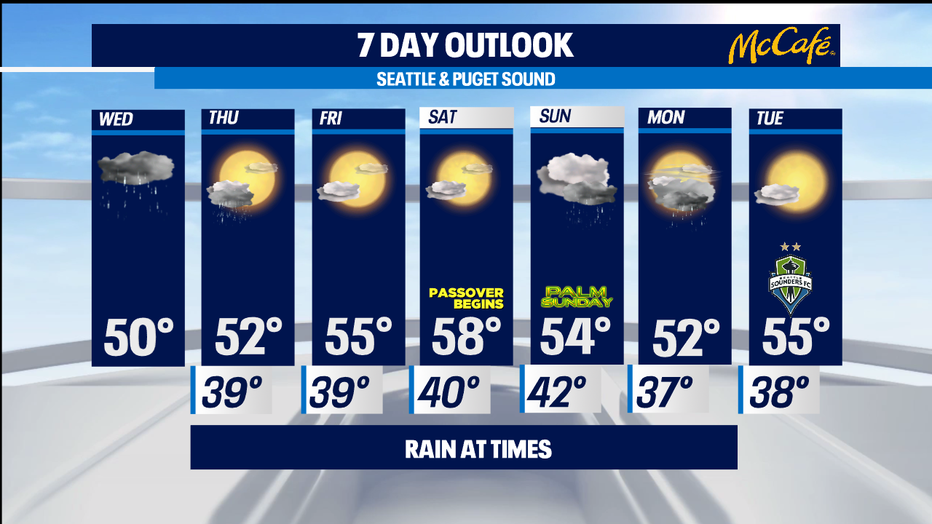
Another front arrives Sunday with showers on Monday and drying on Tuesday. -Tim Joyce
Q13 WEATHER RESOURCES:
DOWNLOAD: Q13 Weather and News Apps
WATCH: Forecast and Radar
READ: Closures and Delays
CHECK: Latest Weather Alerts and Live Traffic Map
INTERACT: Submit your Weather Photo
FOLLOW: Lisa Villegas, MJ McDermott, Tim Joyce, Erin Mayovsky and Grace Lim