A pleasant summer week on tap west of the Cascades with critical fire conditions east.

Seattle - Happy weekend!
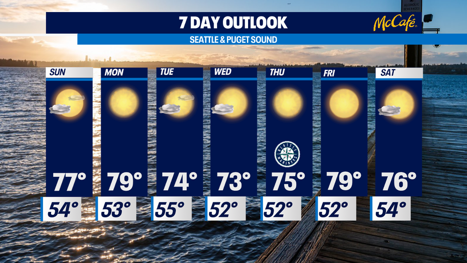
Temperatures will climb to near 80 over the next couple of days before we cool off into the comfortable mid 70s.
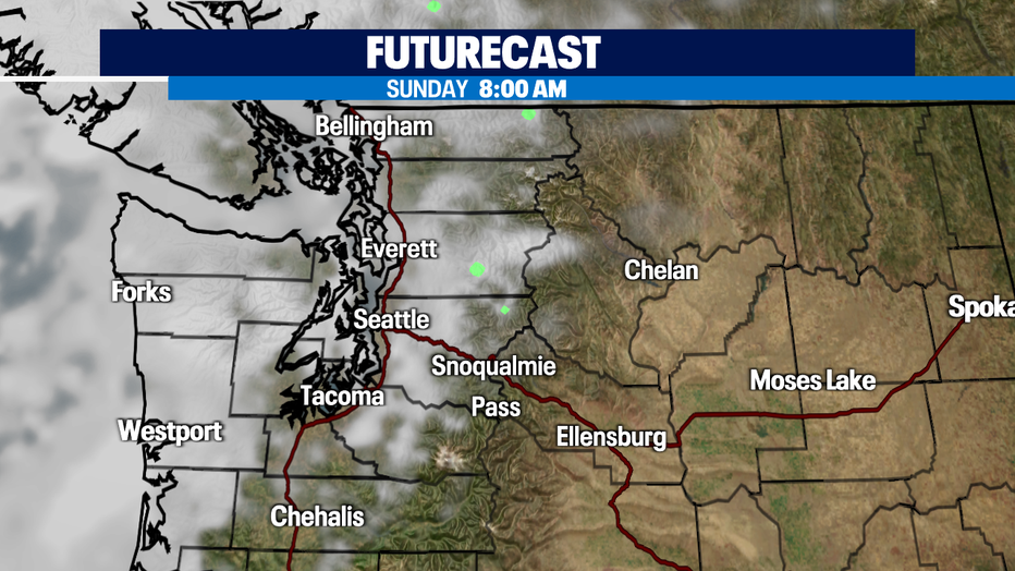
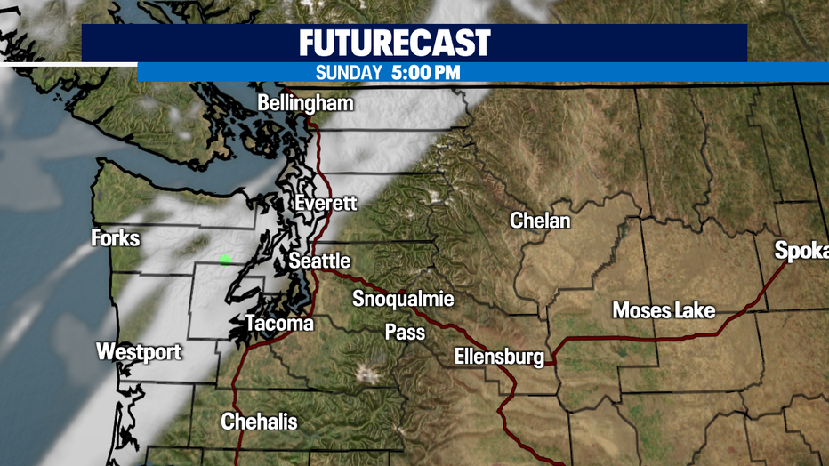
Onshore flow pushing in off the coast with high pressure over the interior will continue to dominate our forecast for the next several days. Look for morning clouds with afternoon clearing.
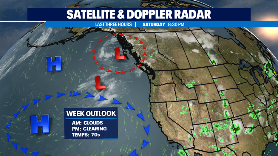
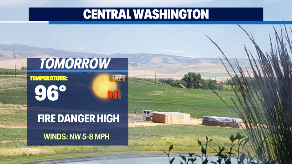
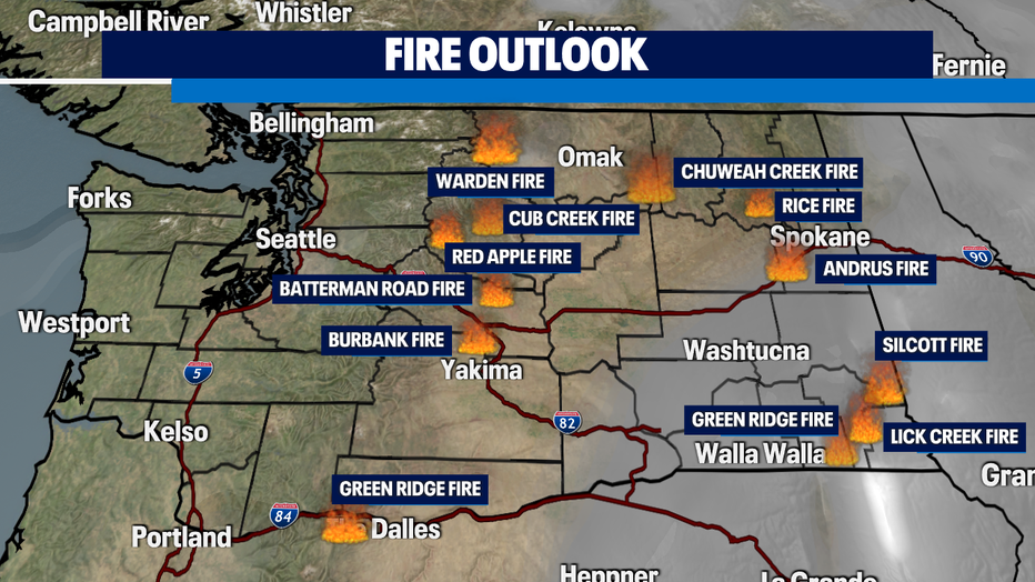
Fire danger is still at high risk for the state, but especially for Eastern WA. Winds have let up some, but even with the slightest breeze fires can spread quickly. Here's a look at current fires burning across our state.
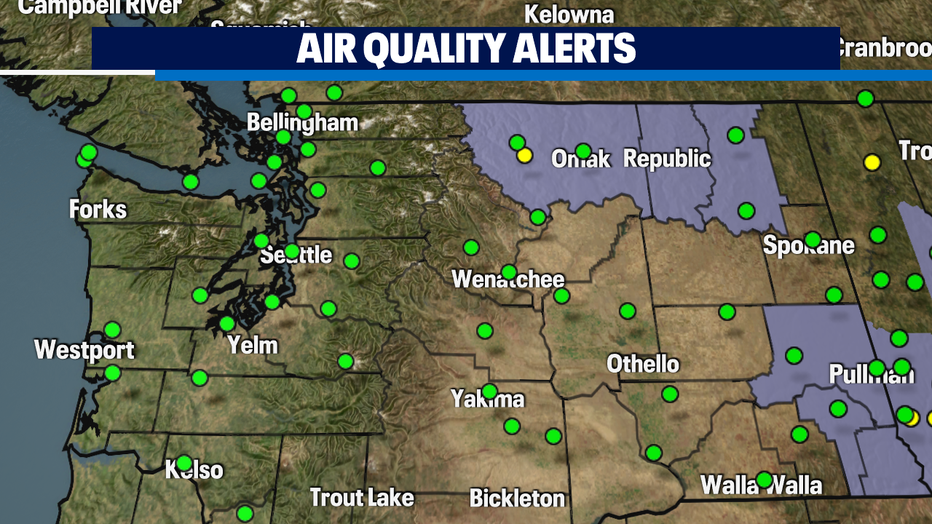
Thanks to onshore flow Western WA will enjoy "Good" air quality values with wildfire smoke staying to our east! Air Quality Alerts are in effect for portions of Eastern WA where air quality could drop to "Unhealthy for Sensitive Groups" through Monday.
By Tuesday into Wednesday temperatures will start to cool off into the mid 70s just below average. Perfect conditions for mid July.
Have a great night! ~Erin Mayovsky, Q13 Forecaster
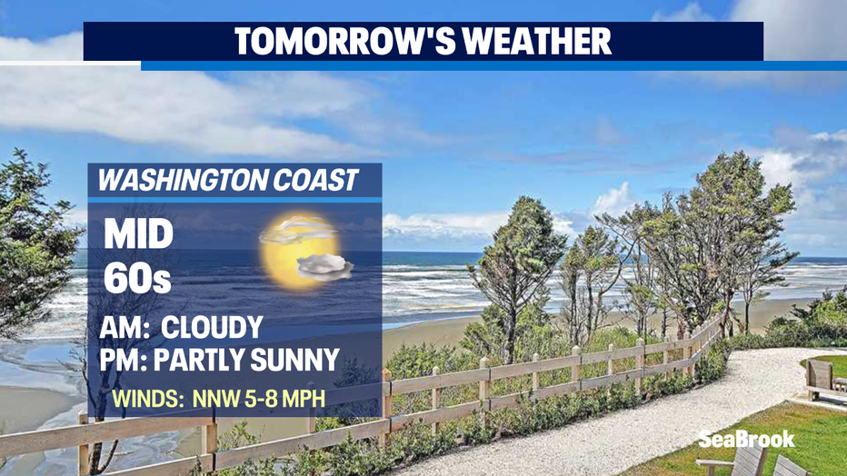
*Beach Forecast
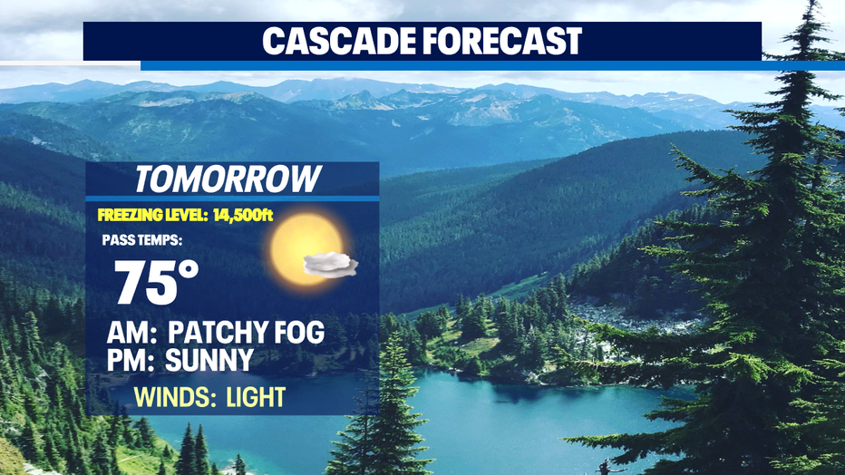
*Mountain Forecast
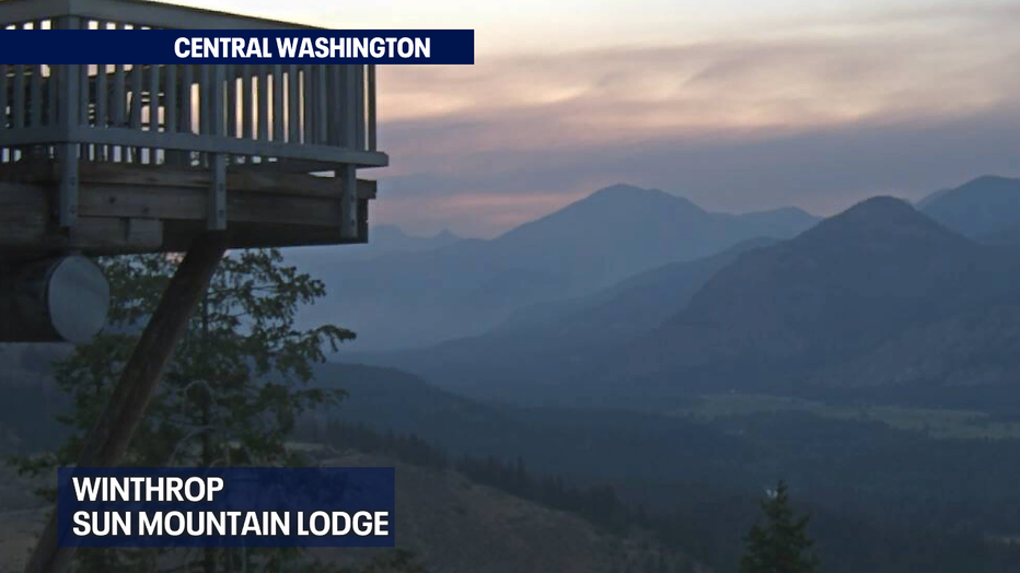
*Central WA Forecast