

Another round of unsettled weather coming our way before we dry out and warm back up

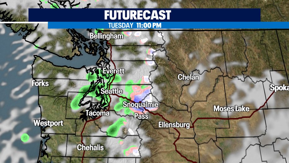
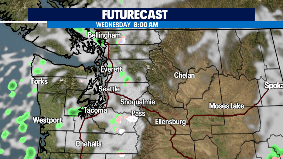
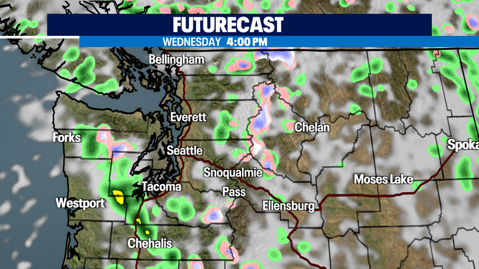
Some showers expected throughout western Washington
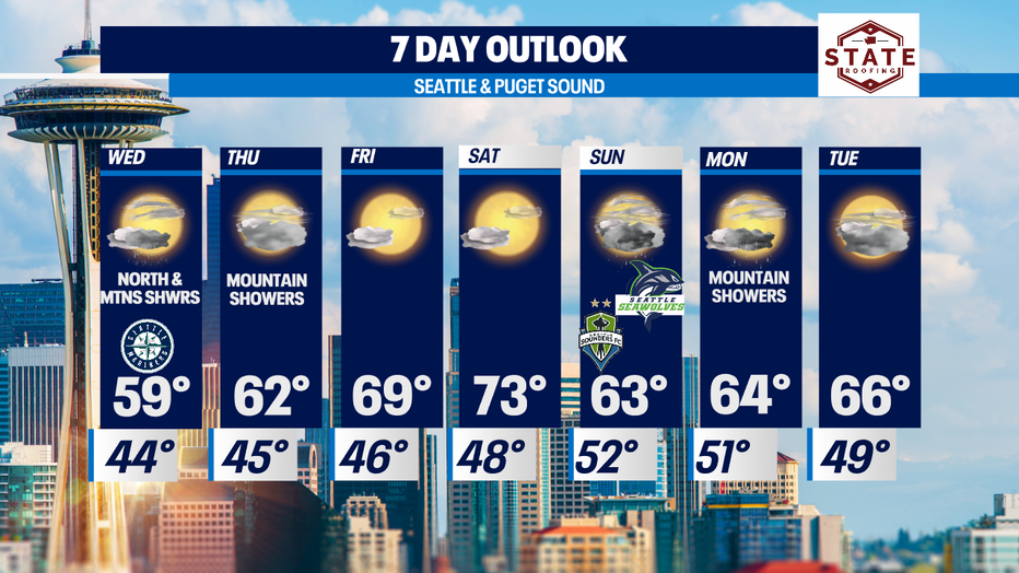
Temperatures will be in the low 60s Wednesday and Friday.
SEATTLE - A stormy start to the week for sure! Rain and wind not to mention the hail, thunder and lightning too. A decent amount of instability in the air keeping us guessing Tuesday and will keep us stormy at times through tomorrow.
Our chilly temperatures continue through Wednesday with a slow warm-up Thursday into Friday when we finally hit the upper 60s to low 70s again.
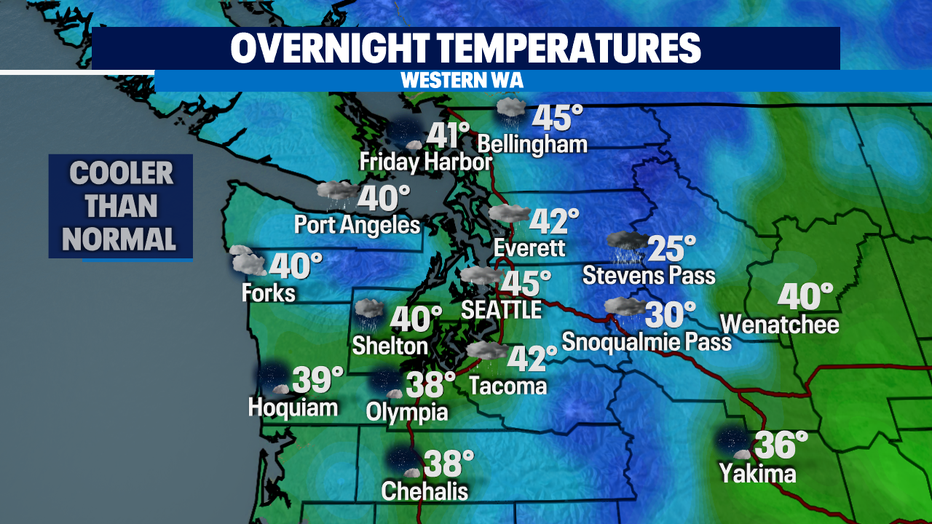
Overnight temps will cool off to the upper 30s to low 40s, well below average for this time of year. Normal is 49 for #SeaTac.
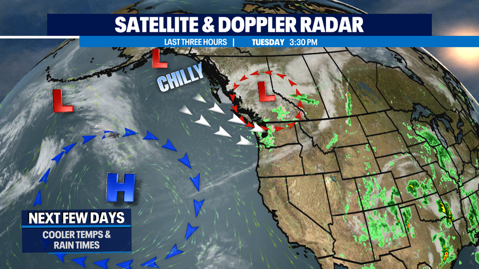
An upper level low pressure system is why we'll be cool and showery through Thursday. Showers will decrease as the trough shifts south and east through the region and by Thursday a weak upper ridge will help us move into the drier and warmer zone again!
Friday and Saturday look very nice with highs climbing above average in the upper 60s to low 70s.
Cooler air returns by the start of next week with a chance of showers too.
Have a great night all!
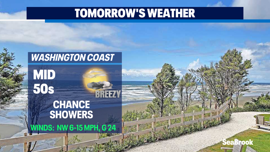
#Beach Forecast
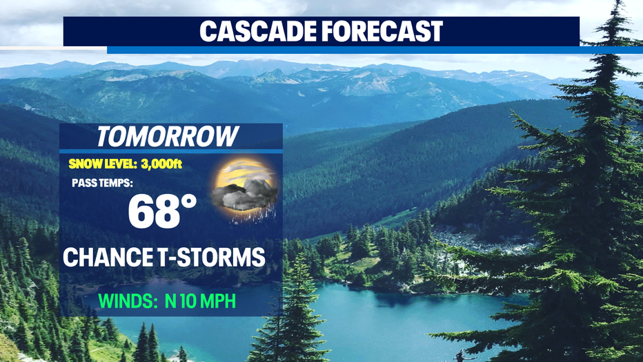
*Mountain Forecast
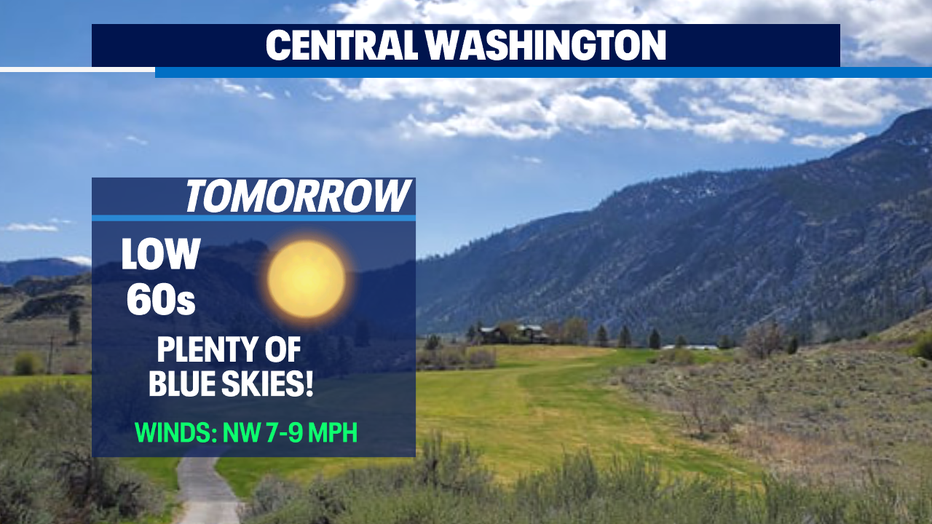
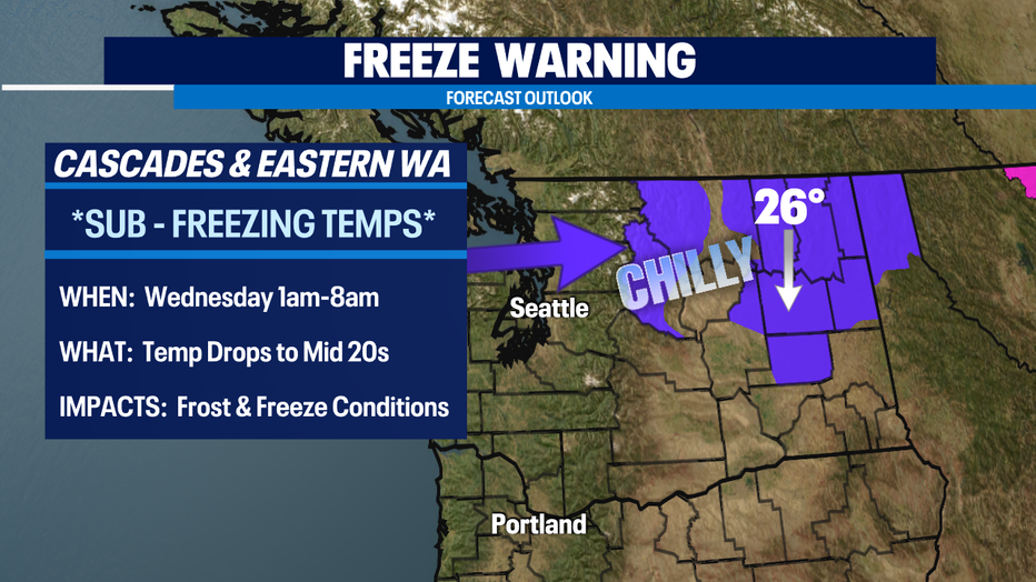
*Eastern WA Forecast
Q13 WEATHER RESOURCES:
DOWNLOAD: Q13 Weather and News Apps
WATCH: Forecast and Radar
READ: Closures and Delays
CHECK: Latest Weather Alerts and Live Traffic Map
INTERACT: Submit your Weather Photo
FOLLOW: Lisa Villegas, MJ McDermott, Tim Joyce, Erin Mayovsky, Grace Lim and Scott Sistek