Cooler and cloudier Wednesday, heating up this weekend
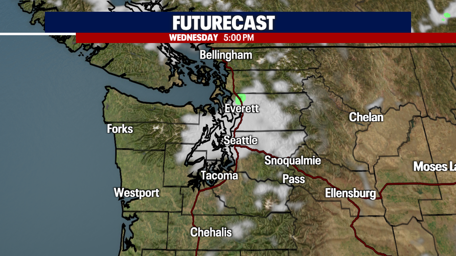
Seattle - A weak system is impacting Western Washington today, bringing light showers, clouds and cooler temperatures.
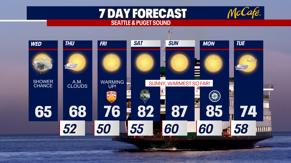
After a beautiful and warm Tuesday, Wednesday will be about ten degrees cooler with highs in the mid 60s for the greater Seattle area.
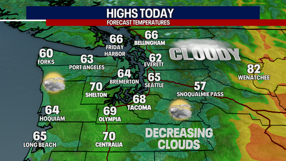
Clouds should part this afternoon in the south sound and north sound, but the central sound and Kitsap Peninsula could be stuck in the clouds most of the day.
The impacts of this system will wear off heading into Thursday. After morning clouds, expect lots of sunshine Thursday afternoon with highs back in the upper 60s and low 70s.
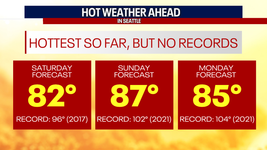
The first hot stretch of 2022 will begin on Saturday. High pressure will dominate the region through the weekend and into early next week sending temps into the 80s for the first time this year. Sunday looks to be the hottest day, with highs between 85 and 90 degrees for most spots around the Puget Sound area. South of Olympia, temps will likely soar into the 90s.
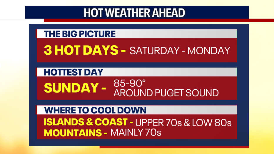
These hot days for our area will not be record setting, thanks to last year's historic heat wave. Also, remember that area lakes and rivers are still very cold this time of year with snow runoff. Water temps are still dangerously cold in most locations.
Western Washington should see some relief from the heat by Tuesday or Wednesday of next week. Enjoy!