

Cooler weather ahead

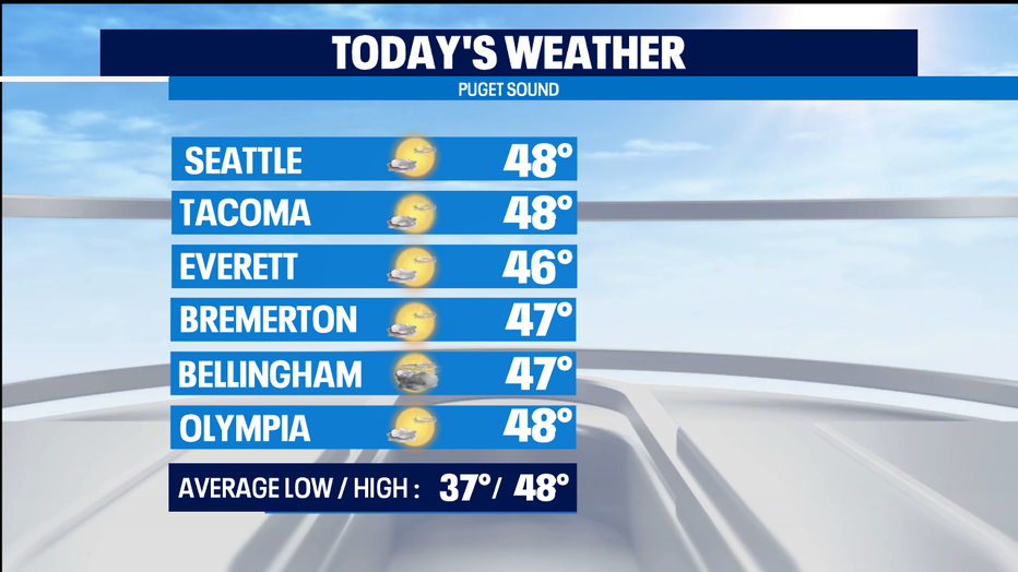
SEATTLE - Today looks to be our last day at normal temperatures for this part of winter. Cooler weather is working into our region by the weekend.
And we're tracking a chance for some snow Sun/Mon around parts of Western Washington, so definitely enjoy today's dry weather if you can.
The mix of clouds and & sun will lean towards mostly cloudy by the late afternoon. The good news is that we wont see too much precipitation from the tail end of this weakening front.
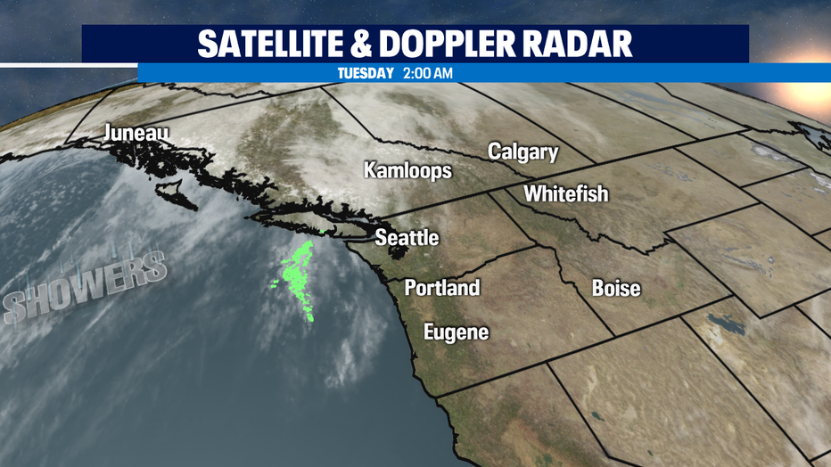
Most of those showers will end up being in the overnight hours, but minimal impact at best from this moisture. A dry day for Wednesday with mostly cloudy skies. The rain on Thursday looks to be light rain at times. Friday and Saturday we dry out but get pretty chilly. Overnight lows get frosty to frozen.
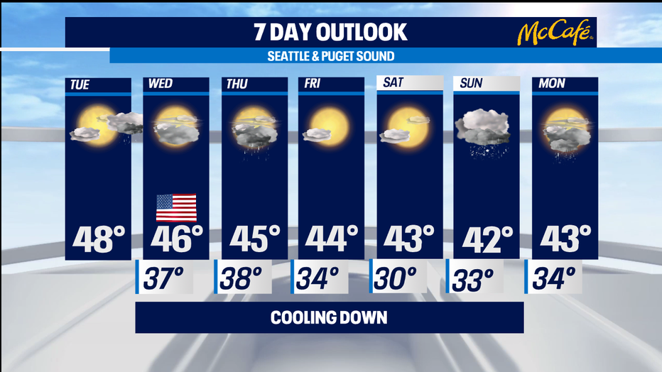
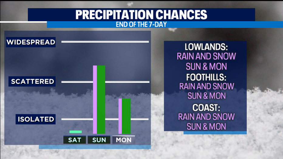
That cold air will be in place when precipitation arrives on Sunday, so in many places it will start as a rain/snow mix and some light snow. It looks to transition to all rain by the afternoon with highs in the low 40s. Higher hills could end up impacted with an inch or two of snow. Heavy snow likely in Central and Eastern Washington with this cold weather outbreak-- so plan your trips over the mountains and to the eastern side of our state accordingly. Monday a chance of rain showers with fat snowflakes mixed in.
But, forecasting snow is challenging in Western Washington-- and the time of day can matter a lot this time of year. A couple degrees warmer or colder in our many microclimates can make a big difference in our forecast outcome. So, at this point the snow impact appears mostly minimal, though we will be watching this weather pattern very closely. Stay tuned. -Tim Joyce