

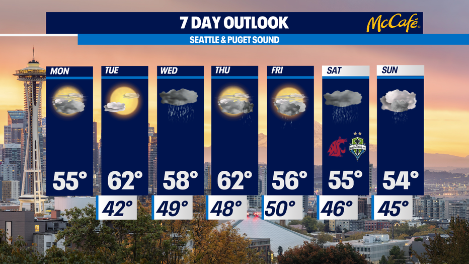
Dry the next two days, then wet weather returns

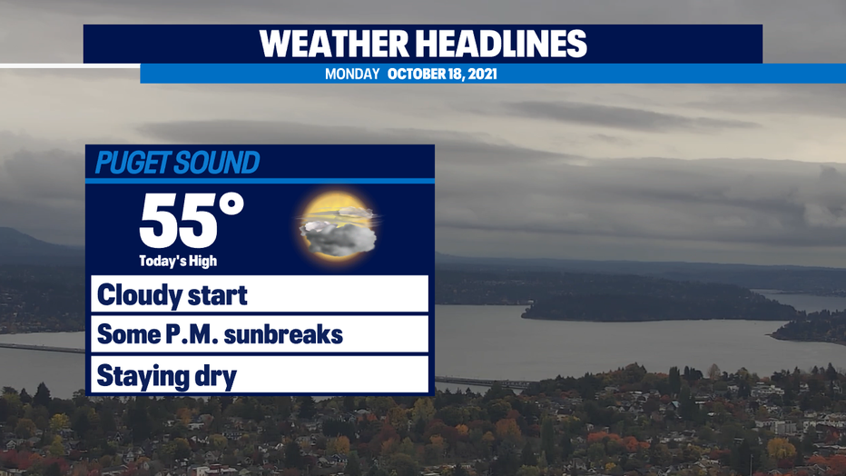
Mostly cloudy skies, mainly dry conditions
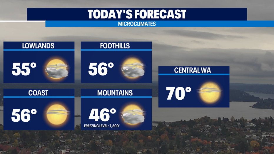
Highs will inch their way back to the upper 50s to low 60s through the work week with favorable Autumn weather Monday and Tuesday.
Seattle - It is dry and cloudy in the Puget Sound area to start the workweek. We will have a nice break from the rain through Tuesday. High temperatures will make it into the mid 50s today with mostly cloudy skies and some afternoon sunbreaks. Tonight will be cooler as the skies clear up. Tuesday will be partly to mostly sunny with highs back into the low 60s.
The next wet weather system will hit the area on Wednesday. Expect that to be a wet day with showers tapering off by Wednesday evening.
Another low-pressure system will hit Thursday evening into Friday, bringing rain to the region and breezy winds to the coast. An unsettled, wet pattern will continue through the weekend.
With an average temperature of 51.9° from October 1-17, this is the coldest start to October we’ve seen in 31 years!
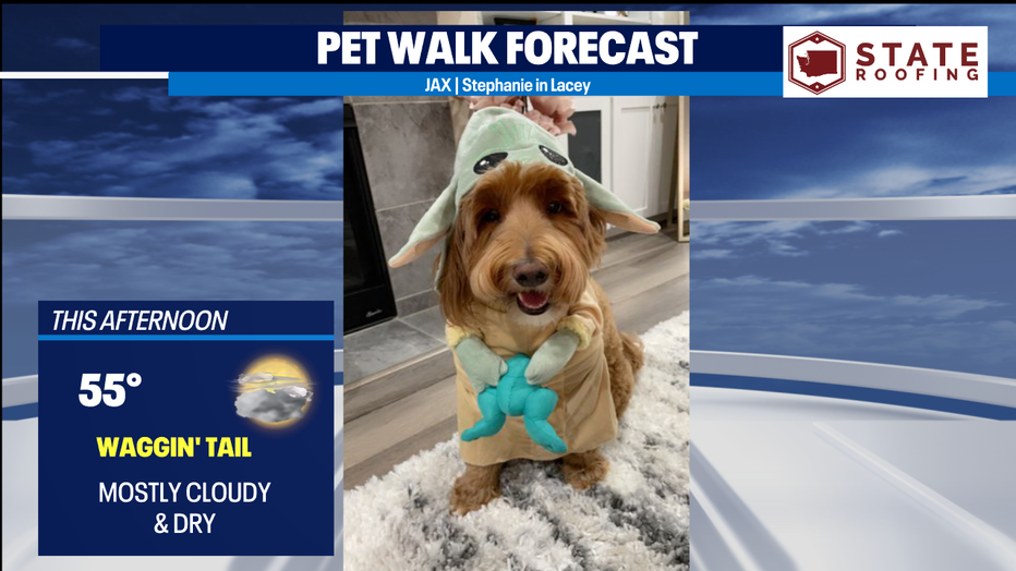
Zeus is here to do some lumberjack work for us. It’s a "waggin’ tail" kind of day with dry conditions and a little bit of sunshine in the mix for your afternoon walk.
MORE FROM FOX 13 WEATHER:
DOWNLOAD: FOX 13 Weather and News Apps
WATCH: Forecast and Radar
READ: Closures and Delays
CHECK: Latest Weather Alerts and Live Traffic Map
INTERACT: Submit your Weather Photo
DAILY BRIEF: Sign Up For Our Newsletter
FOLLOW: Lisa Villegas, Erin Mayovsky, and Scott Sistek