

Few showers Sunday and Monday, drier Tuesday and Wednesday
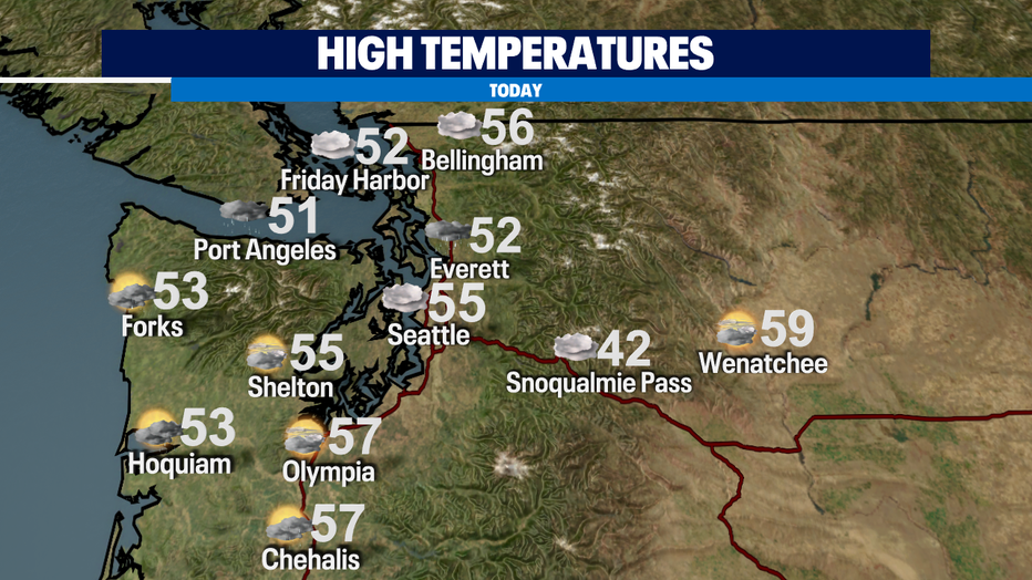
seattle - Daytime heating from sun breaks this afternoon may aid in the development of thunderstorms in our southern counties. Activity will be isolated, non-severe and may produce small hail. The best chance for thunderstorms will still be south of us in Oregon and Northern California. Highs today will be in the low to mid 50s.
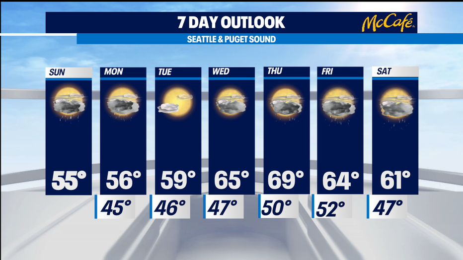
A convergence zone may set up around Snohomish County for the Monday morning commute. A ridge of high pressure will build in Tuesday and Wednesday bringing us drier conditions and occasional blue skies. Highs will be warming up in the low to mid 60s!
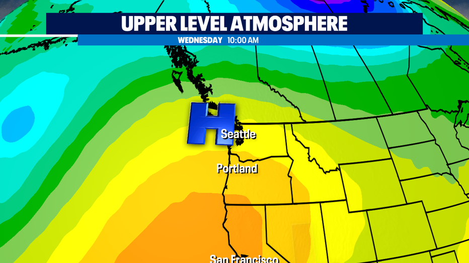
The ridge will move east, opening the door for a front to approach by the end of the week. Ahead of it, there's a slight chance for rain on Thursday and highs will be flirting with the 70s! The front will cross through Friday bringing better chances for scattered showers through Saturday.
Have a great day!
-Q13 Meteorologist Grace Lim