

Seattle weather: First big snow of the season to hit the Cascades Tuesday night
Cloudy skies, slight chance of rain Monday
Monday, we see mostly cloudy skies and slight chance of rain, mainly north of Seattle up to Everett. We start to see our next round of active weather Tuesday and Wednesday.
SEATTLE - The work week will start off with a mix of clouds and sunshine, but the first significant mountain snow of the season will hit Tuesday along with rain and breezy winds in the lowlands.
Monday will bring mostly cloudy skies to the north sound with temps in the mid 50s. There is a chance of light showers in the convergence zone area of south Snohomish and north King Counties this morning and afternoon, but most other spots will be dry.

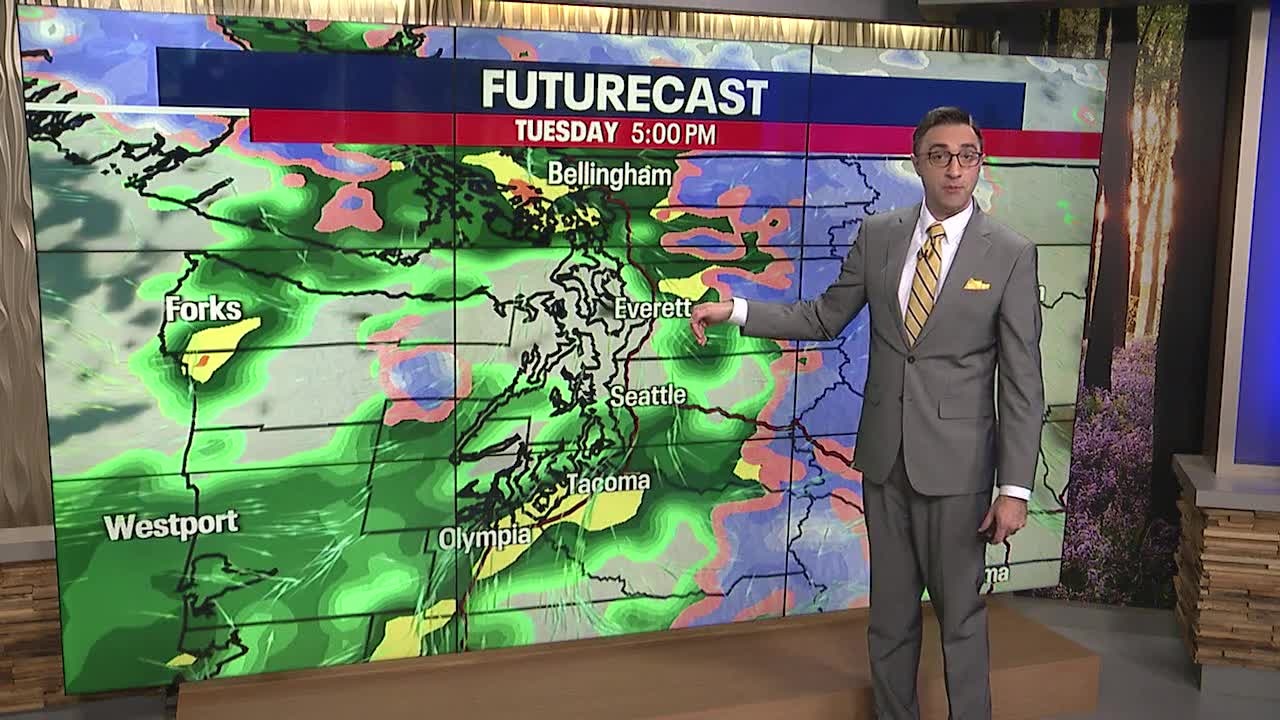
The next system will hit the area Tuesday afternoon and evening, bringing moderate rain to the lowlands and the first round of significant snow to the Olympics and Cascades. A Winter Storm Watch is in effect for from Tuesday afternoon to Wednesday afternoon for the Olympic Mountains, the north and central Cascades, and the north Cascade foothills.

Snow levels will start dropping Tuesday evening as the precipitation arrives. Higher passes like Stevens Pass will start seeing snow around the evening commute on Tuesday with lower areas like Snoqualmie Pass starting off with cold rain. All of the mountain passes will see snow later Tuesday evening.

In the lowlands, this storm will bring rain and breezy conditions at times. Very similar to our previous storms, just much cooler. Lowland areas could see .50 to 1 inch of rain through Wednesday.

After this storm passes on Wednesday, expect much drier and calmer weather ahead. It will be very chilly heading into next weekend, with daytime highs around 50 degrees and overnight lows close to freezing.
