

Here comes summer (heat)! Temps soaring soon in the NW

Temperatures could hit 90 on Monday
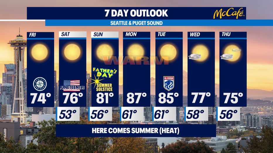
Temps will be in the mid 70s on Friday and Saturday before warming up more
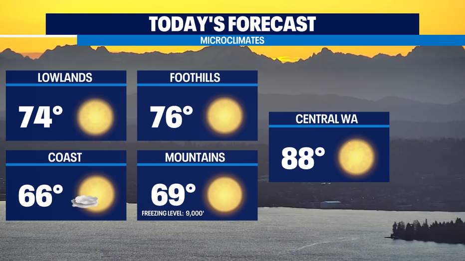
Seattle - Summer getting a head start here in the Pacific Northwest this year. Yesterday 1° shy of 80, Today will be close to the same. Just enough onshore flow off the cool Pacific Ocean should keep us in the 75-80 range for today and the last full day of spring on Saturday.
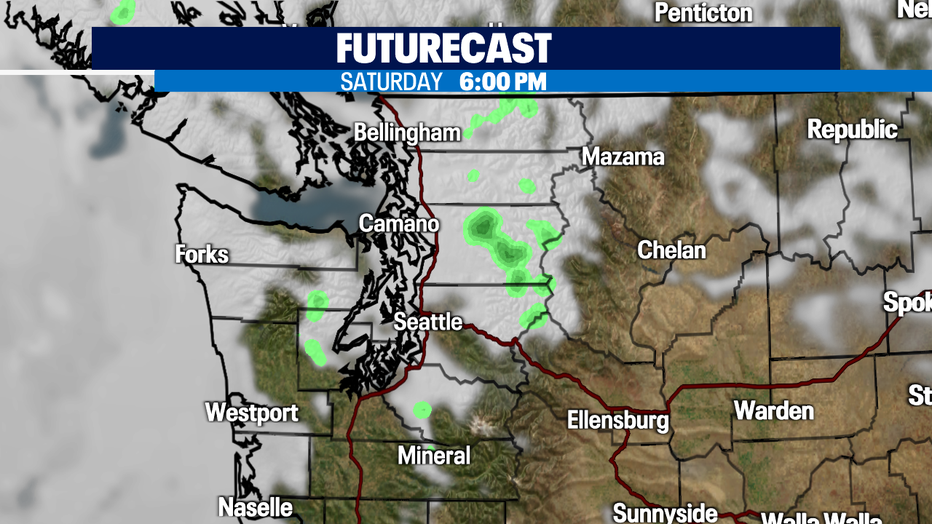
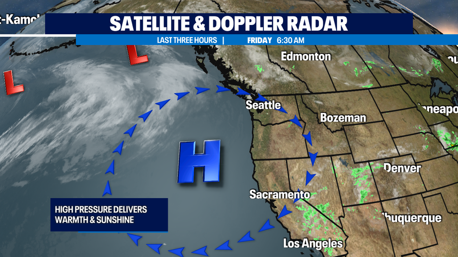
The big weather story is the summer heat that is on the way! We'll see some high clouds move through on Saturday for Juneteenth due to a weather system moving into British Columbia, but I think we'll stay dry thanks to the ridge of high pressure sitting over the entire western U.S. even though the futurecast models are hinting towards a few mountain sprinkles, I'm not really buying it.
As winds turn offshore on Sunday, we'll start seeing our big temperature rise. Temps are going to break into the 80s by Father's Day on Sunday and some of the forecast models keep trying to pump the temps on Monday to near 90. In a typical year in Seattle usually have four days of 90 or warmer weather. So far this year, we have had no days above 90°. MJ is leaning towards us being near 89, which would tie the record. I'm thinking we'll be more like 87. I think we are wagering an iced coffee on who's closer, so stay tuned for this result.
While there is no specific definition of a heat wave, I typically use the parameter of more than 10° above normal for more than three days. This upcoming temperature spike is why I have been describing early next week as a "mini heatwave" because it doesn’t look to quite fit that criteria. Sunday only about 7 degrees above normal, it gives us a two day or "mini" heatwave. This heat coincides with the Summer Solstice and our longest days of the year (~16 hours of daylight) so it is very important to take precautions to stay cool such as being hydrated and "look before you lock" which means checking your car's backseat for children and pets.
And while our air temperatures will be warm (hot if you consider Monday’s potential) water temperatures are still very cold and cold water shock can kill even the strongest swimmers. For those of you who do not have air-conditioning and will seek comfort in our area rivers and lakes, be careful around area waterway. Rivers are still running pretty fast and high and even colder than our lakes since it is raw snowmelt.
Tuesday will start seeing nature’s air conditioning and will be warm as well— but afternoon highs will start moving closer to the 75-80 range by mid-week. Enjoy! -Tim Joyce