More rain for some while others dry out into Saturday before a widespread showers take over Sunday
Seattle - Welcome to the weekend all! We're tracking a bit of everything over the next week so if you don't like the weather one day wait for the next and you'll probably find something you like.
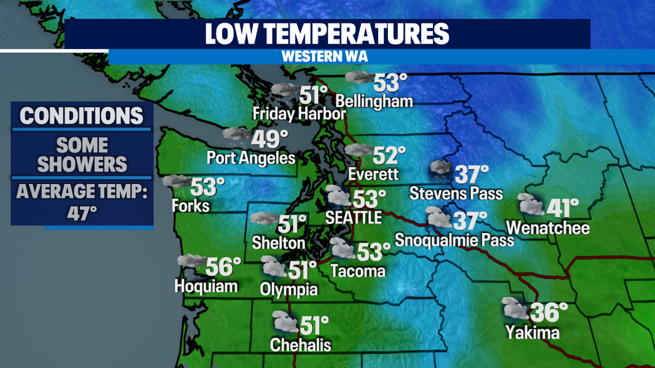
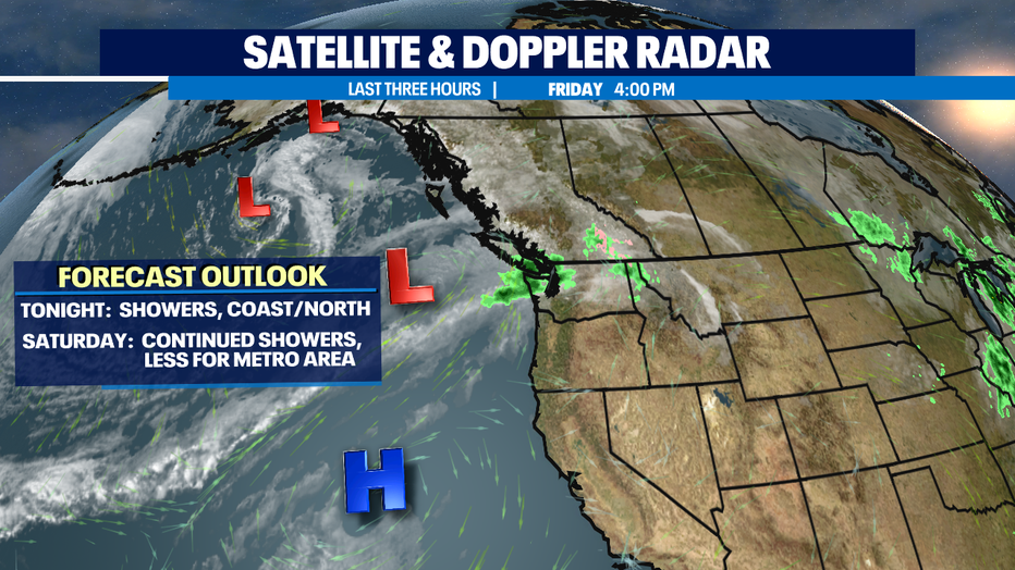
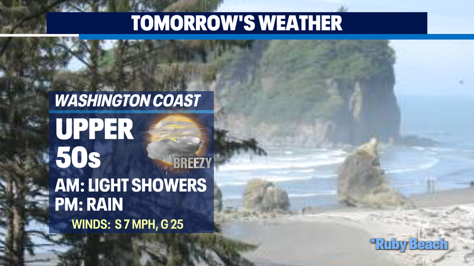
Tonight, through Saturday evening showers will dominate the coast and North Sound while the Seattle area south will experience mostly drying conditions.
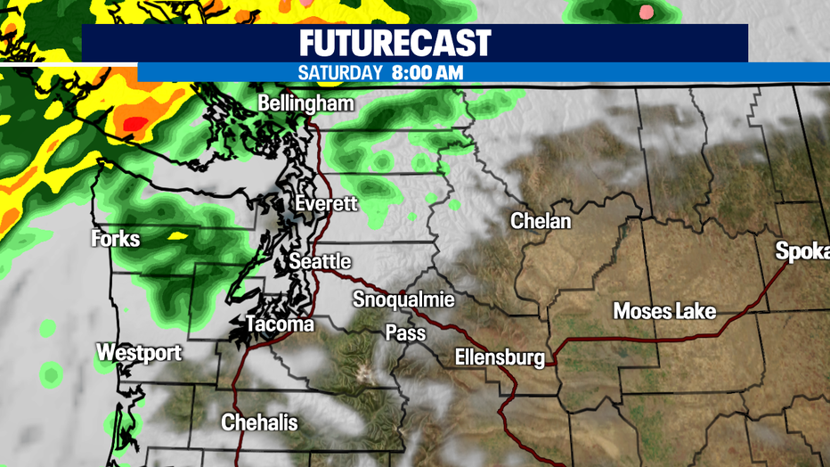
Here's a look at precipitation early Saturday morning. Rain mostly hugs the NW Coast and Northern Islands through NW Whatcom County.
By 5:30pm Saturday showers let up to the north and mainly stick to the coast.
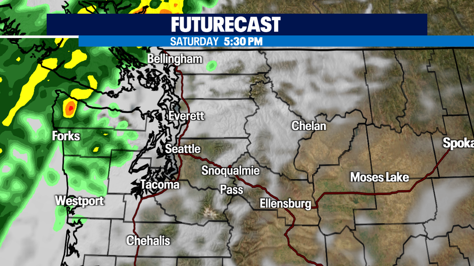
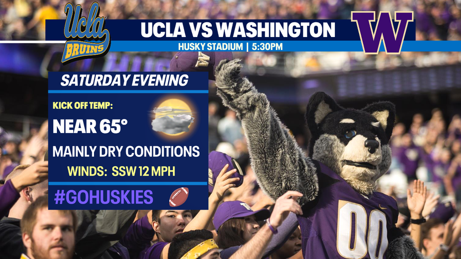
Kick off for the Washington Huskies Saturday at 5:30pm should be mainly dry. Highs will finally warm for a brief period into the mid 60s, which is slightly above average for this time of year. So grab a light jacket if you're heading out to Husky Stadium as the Dawgs host UCLA. #GoHuskies
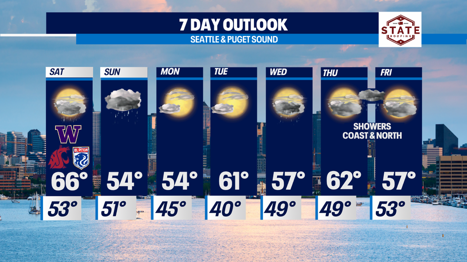
Late Saturday night, a front will work it's way inland delivering more widespread rain into Sunday. Highs will cool into the mid 50s.
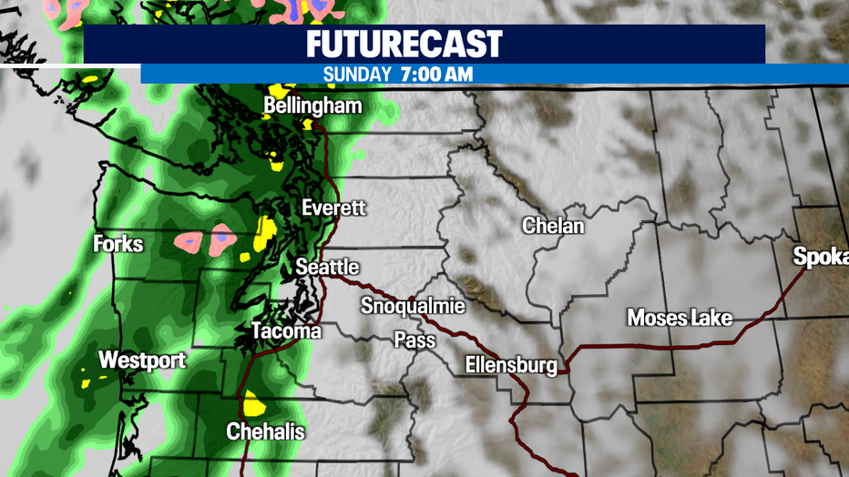
By 7am Sunday rain pushes into Puget Sound. Widespread showers will become heavy at times as some decent cells roll across the region. Rain will start to fall apart after dinner Sunday and continue to dry out into Monday as a decent ridge sets us up to dry us out for a couple under partly sunny skies.
Highs will inch their way back to the upper 50s to low 60s through the work week with favorable Autumn weather Monday and Tuesday.
The next system will come our way early Wednesday morning. We expect showers to move in from the SW WA Coast and push up to Seattle by mid-morning. Showers will be light in nature for the most part with some areas over the Olympics seeing heavier rain.
Most of Thursday looks dry with showers expected to pick up into the overnight hours into Friday morning before drying out again. Enjoy!
Have a great night! ~Erin Mayovsky, Fox13 Forecaster
*Beach Forecast
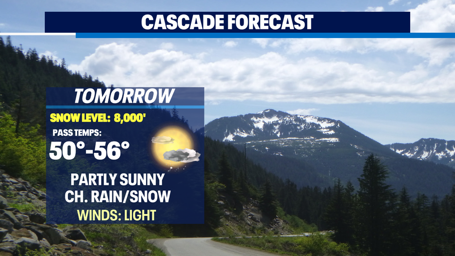
*Mountain Forecast
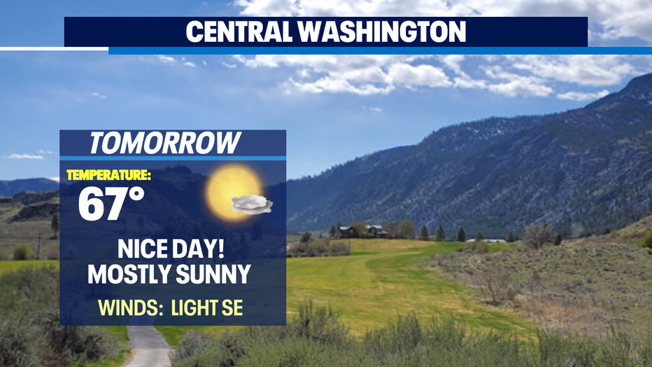
*Central WA Forecast
