

Sunny start to the week

Sunny start to the week
Q13 Meteorologist M.J. McDermott has a sunny start to the week in her Western Washington forecast.
Seattle - Clearing skies last night means some of us in Western Washington are waking up to some near-freezing temperatures.
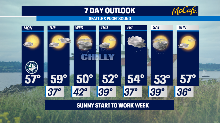
Some areas could have some patchy fog, but today and tomorrow will be a lovely respite from April showers. High temperatures will be in the seasonal mid to upper 50s.

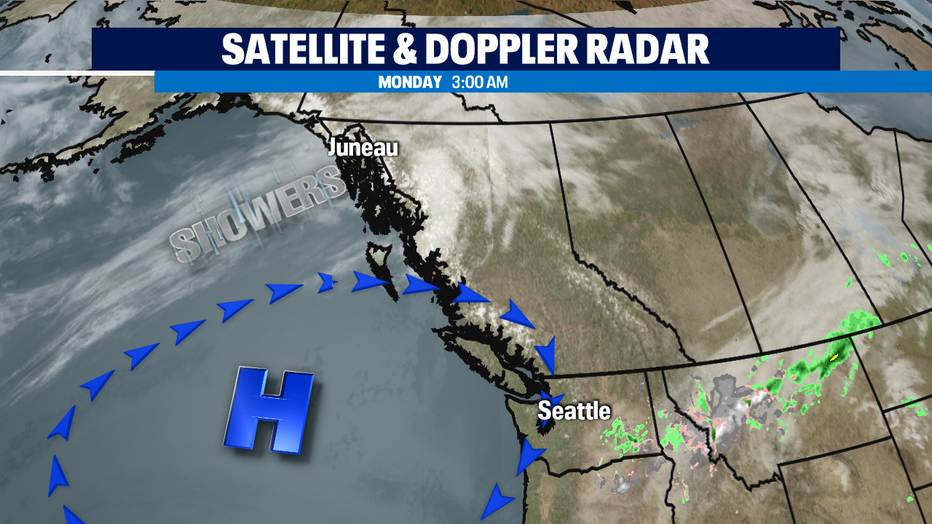
High pressure in control means at the beginning of the week means Tuesday looks like a carbon copy of today, with more clouds as the day wears on along with slightly warmer temperatures towards 60.
Raindrops return on Wednesday along with another round of what could now be considered unseasonably chilly in the upper 40s and low 50s. Showers look to continue into the weekend, with some dry breaks between the weather systems.
This was anticipated to be a chilly La Niña spring, unfortunately Mother Nature seems to be living up to these low expectations. -Tim Joyce