

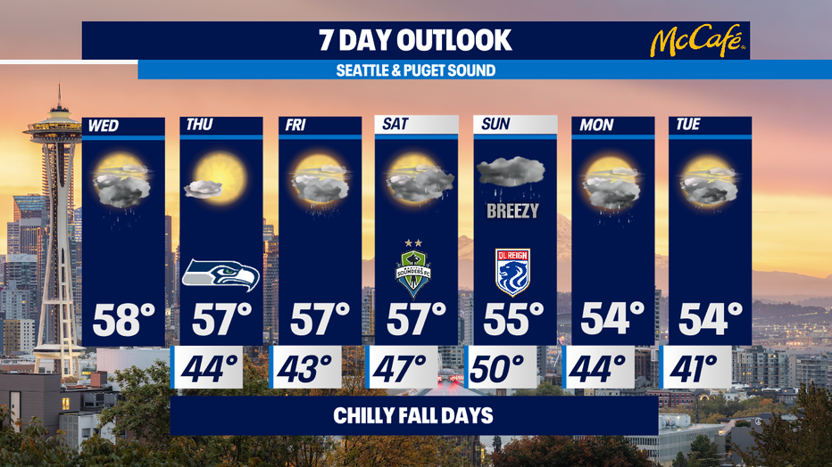
Chilly and damp October days ahead
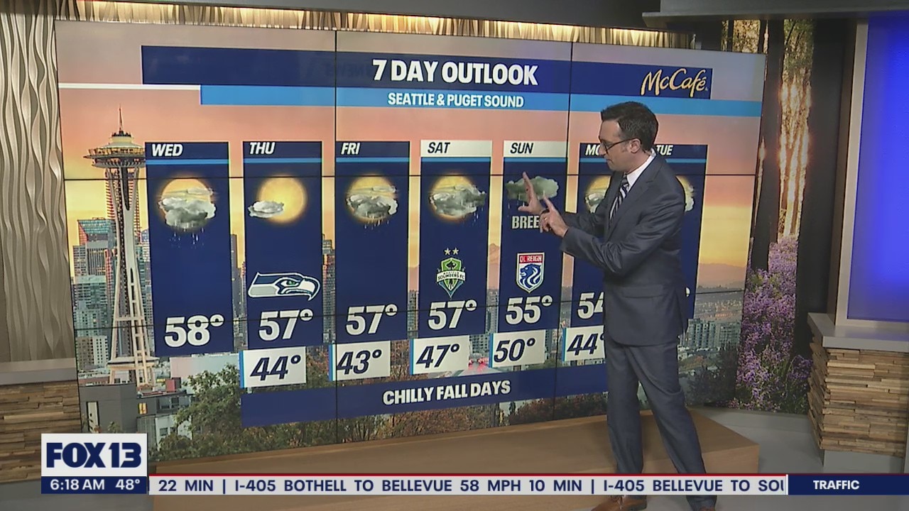
Nice, cool to start Wednesday
There will be scattered showers throughout the day and cooler than average temperatures.
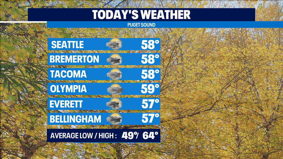
SEATTLE - After a chilly and showery morning across western Washington, we should see a mix of clouds, sunshine, and showers this afternoon.
There is a slight chance for an isolated thunderstorm in there as well. A convergence zone could develop near or north of the King County/Snohomish County line this evening around sunset. That will bring heavier showers before things dry out later tonight. Temps will stay about 5-10° below average with highs in the mid to upper 50s.
Other than a potential for fog in the south Puget Sound area, Thursday looks spectacular with mostly sunny skies. The cold air mass isn't going anywhere though. Expect highs to remain in the mid to upper 50s. A weak system will hit Friday bringing a few showers to western Washington, but it should be more dry than wet. After a dry start to Saturday, heavier rain arrives Saturday evening and Sunday, with breezy winds at times the second half of the weekend.
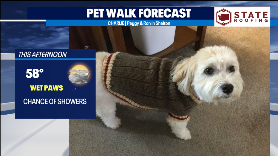
With a chance of showers today, it's a wet paws day.
MORE FROM FOX 13 WEATHER:
DOWNLOAD: FOX 13 Weather and News Apps
WATCH: Forecast and Radar
READ: Closures and Delays
CHECK: Latest Weather Alerts and Live Traffic Map
INTERACT: Submit your Weather Photo
DAILY BRIEF: Sign Up For Our Newsletter
FOLLOW: Lisa Villegas, MJ McDermott, Erin Mayovsky, and Scott Sistek