

Rainy and gusty Sunday, drier start to next week
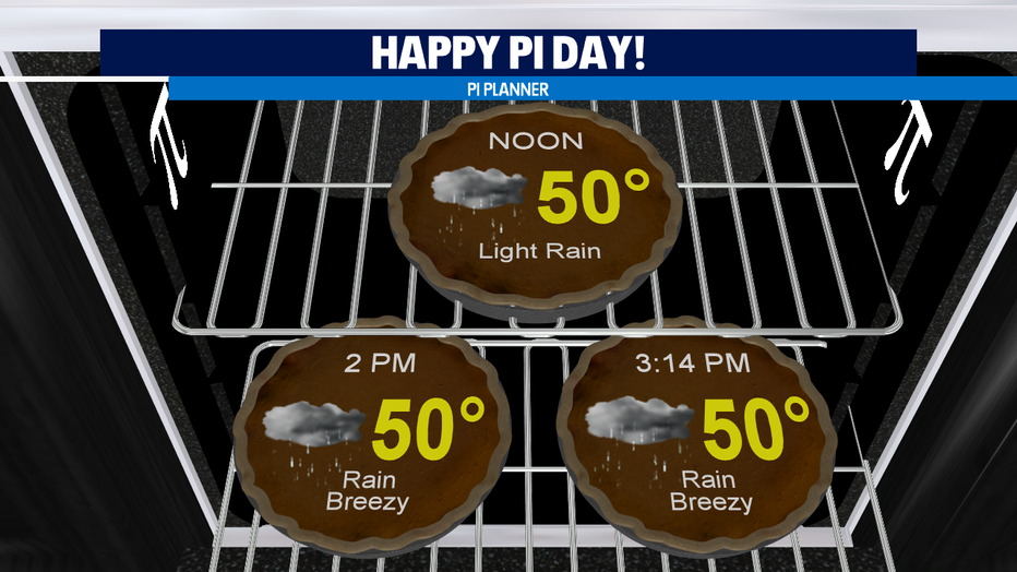
seattle - Happy National Pi Day! A cold front will continue to bring rain across Western WA today and mountain snow tonight.
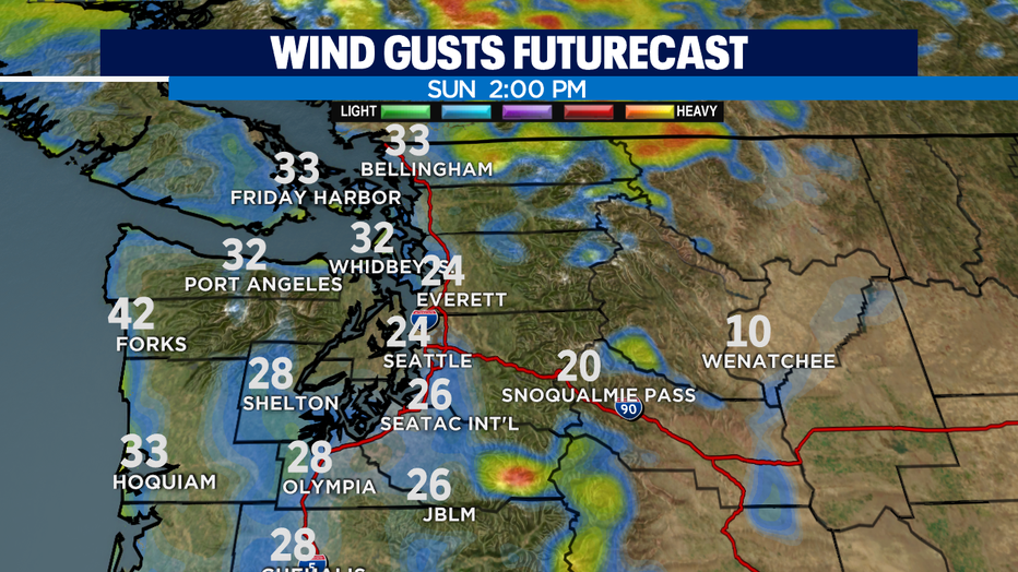
Winds will be elevated ahead of the front and gusts will pick up in the Seattle metro area by this afternoon. Gusts could be as high as 25mph. Northern counties could see gusts as high as 30-35mph and the coast 30-40mph. Winds should relax tonight through tomorrow morning.
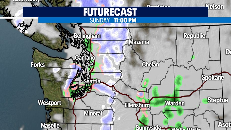
With cold air aloft behind the front, there is a chance for wet snow in the lowlands tonight through overnight Monday. This looks most likely along Hood Canal and Kitsap County. Impacts will be minimal.
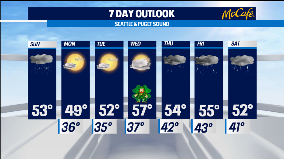
Next week starts off dry! St. Patrick's Day looks great with partly sunny skies and highs near 60! Additional systems will bring rain Thursday through Saturday.
Have a great day!
-Q13 Meteorologist Grace Lim