Record setting rain ends, drier Halloween weekend ahead

Few more morning showers left, then a little bit of sunshine
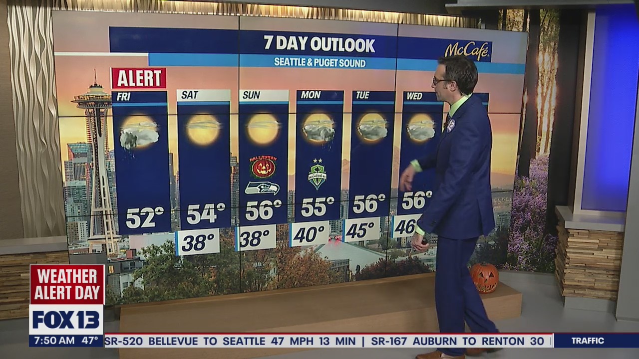
There’ll be a few more showers Friday morning and then a little bit of sunshine.
Seattle - A FOX 13 Weather Alert was issued this morning as urban flooding and ponding in many areas led to a tough morning commute.
All that is left through the rest of the morning hours will be isolated showers, especially in the convergence zone of King and Snohomish counties.

Rain totals are very impressive over the past 36 hours. Most spots around the Puget Sound area were in the forecasted 1-2+" with areas along the Olympic Peninsula and in the Cascades pushing over 4". That’s a LOT of rain!


A few areas set daily records as well. It was the wettest October day on record at SeaTac since the all-time wettest day in Seattle history (5.02" on 10/20/2003).

Heavy rain in the higher elevations will push many area rivers above flood stage today. Most rivers will be pushed to minor flood stage, which will have isolated impacts to homes and businesses along those rivers. The Skagit River near Concrete is of higher concern, because it will be pushing into moderate flood stage and getting close to major flood stage. Most rivers will crest today and waters will gradually recede over the weekend.

As we get into the late morning, the heaviest rain will push into Oregon and Eastern Washington. As Western Washington dries out, we will likely see the sun peak out this afternoon/evening. This weekend, the sunshine returns after morning fog with highs in the 50s.


