Stormy Fall weather continues as we roll into the work week with brighter skies into the weekend!
Seattle - We saw just about everything on Monday from blue skies to heavy rain with hail at times and pops of thunder and lightning off the coast.
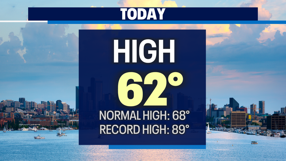
Highs today only climbing into the upper 50s to low 60s. Our average high for this time of year is 68.
Showers will continue to push onshore overnight into Tuesday. Rain picks up throughout the day, especially for the North Sound where the threat of thunderstorms looms again. Some of the stronger cells will produce heavy rain at times at a rapid rate. Please be careful as water will pond on the roadways and make it pretty easy for cars to hydroplane.

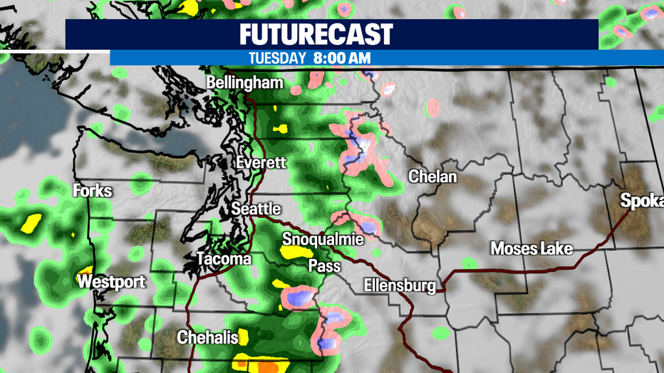
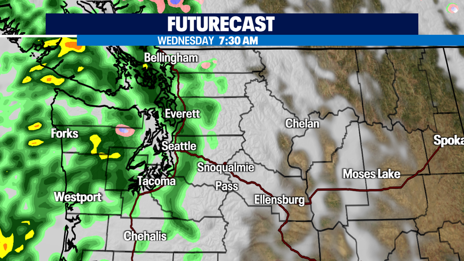
Here's a look at or futurecast models for tomorrow at 8am. Showers become intense from Everett to the Canadian border. Seattle stays mainly dry with just a few stray showers. Farther south into Tacoma and east into the foothills up into the Cascades will see bursts of heavy rain too.
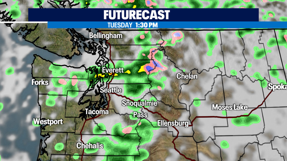
Just after lunch time Tuesday showers let up for Skagit and Whatcom Counties to the north with steady showers hanging on for Snohomish County. This is when Everett may see a few t-storms fire up. Our southern regions will get a break from the stormy conditions Tuesday afternoon.
And the water keeps on pumping into the region Wednesday and Thursday. Highs will suffer under our stormy skies as well topping out near 60.
Once we get through Thursday we'll finally start to dry out and warm up. Friday highs will only reach the low 60s, but by the weekend we'll flirt with upper 60s to near 70! A beautiful Autumn forecast on tap! Enjoy!
Have a great night all! ~Erin Mayovsky, FOX 13 Forecaster

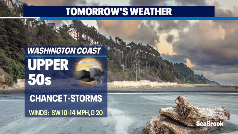
*Beach Forecast
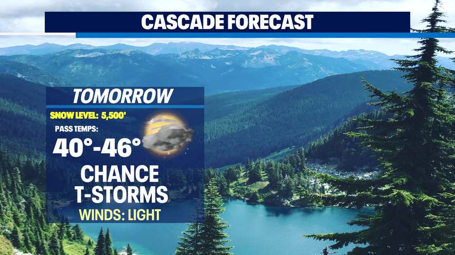
*Mountain Forecast
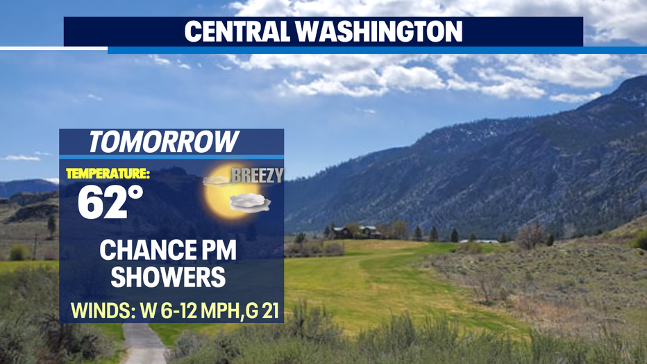
*Central WA Forecast