Another cool night before rebounding back to normal highs the next couple of days.
Seattle - Happy Tuesday!
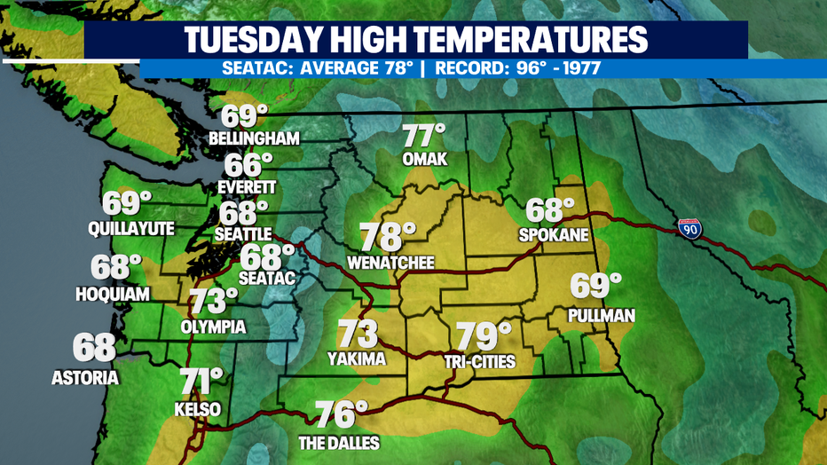
Boy it sure took a long time to warm up today. Clouds dominating our skies for most of the day with some areas seeing a little drizzle at times. Highs only landing in the upper 60s for Seattle with warmer highs to the south for places like Olympia. The coast and North Sound hung in the mid to upper 60s.
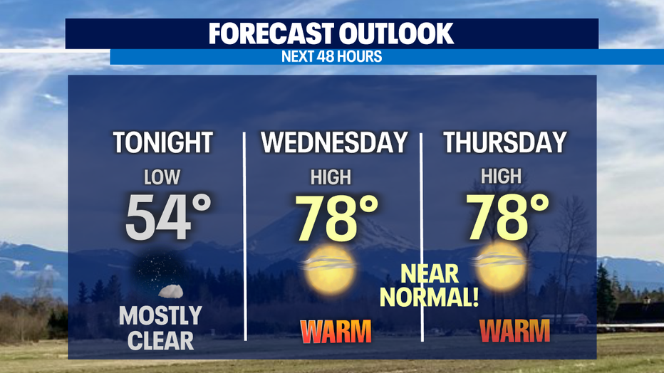
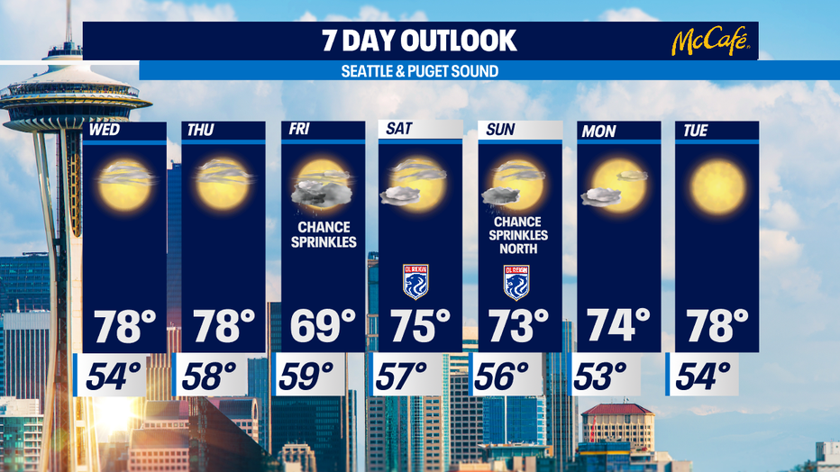
We'll stay in the low to mid 50s overnight with mostly clear skies. Wednesday and Thursday will look very much the same. A little cloudy with some patchy fog on the coast to start the day with plenty of afternoon clearing. The metro should land right near our average sweet spot for this time of year at 78.
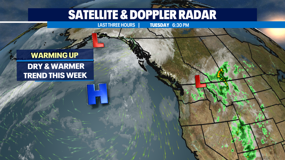
The warm and dry trend courtesy of a ridge out in the Pacific strengthening as it slides closer to the coast.
Highs will cool though on Friday as another small disturbance tracks through the region opening the door for another shot at a few showers by mid-day. Temps will only land near 70. We're keeping an eye on a slight chance of convective activity over the Cascades too. A few thunderstorms could pop up during this time where the air mass is most unstable.
Another upper level disturbance may clip the area on Sunday giving way for a chance of light showers over the North Sound and mountains. Highs hang in the low 70s. We warm a few degrees Monday and Tuesday with plenty of summer sunshine.
Have a great night all! ~Erin Mayovsky, Q13 Forecaster
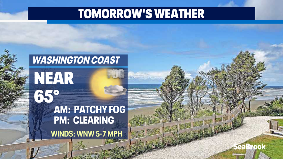
*Beach Forecast
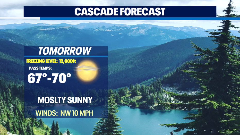
*Mountain Forecast
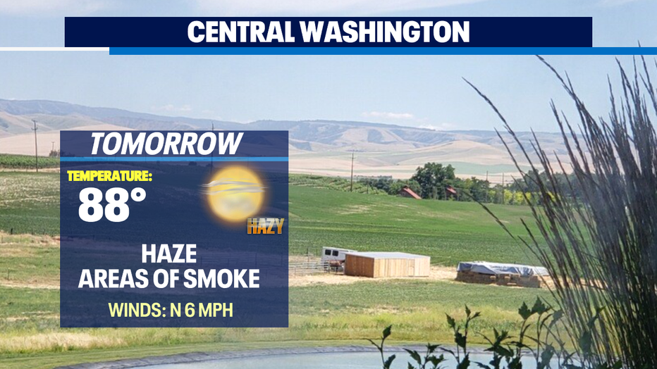
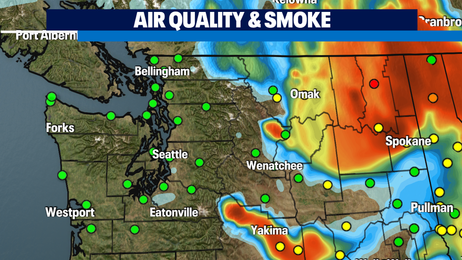
*Central WA Forecast