

Big changes ahead: 'January chill' to 'June warmth'

Big changes mean warmer weather next week
Q13 Meteorologist M.J. McDermott says to expect temperatures increasing next week toward 70 degrees.
SEATTLE - Happy Friday! Clear-ish skies last night means we're waking up some chilly temperatures this morning (30s, not 20s thankfully).
Clouds will be on the increase today and what looks like the last winter-like weather system for a while (hopefully the last for the season) will roll in this afternoon but I still think we'll manage to get into the low 50s. Yesterday we hit 54, normal is 57.
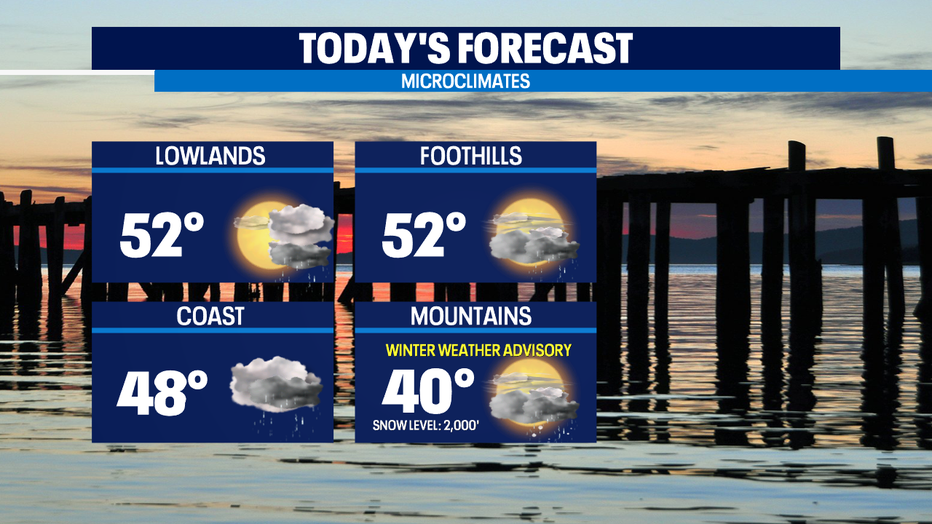
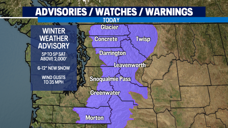
The precipitation dropping down from the north will be lowland cold rain and lots more mountain snow. We've got a Winter Weather Advisory above 2,000 feet for another 6-12" of new snow. Be prepared for winter driving conditions at all our passes. That means carrying chains and knowing how to use them.
Watching closely how much moisture will be left tomorrow morning when the temperature profile looks cold enough for some of the precipitation in the lowlands will be a rain/snow mix or some light snow on our higher hills/foothills communities.
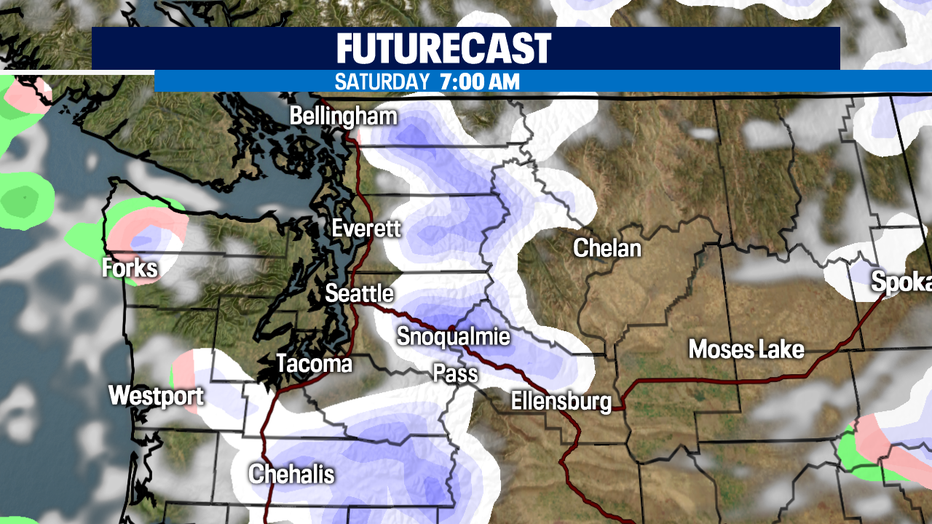
The ground is too warm for much to stick at all, but could be slick in some areas for a few hours before we warm up and totally dry out. Even with high temps similar to late January in the upper 40s and low 50s-- the sheer length of days in April means lowland snow flurries won't be impactful for very long at all.
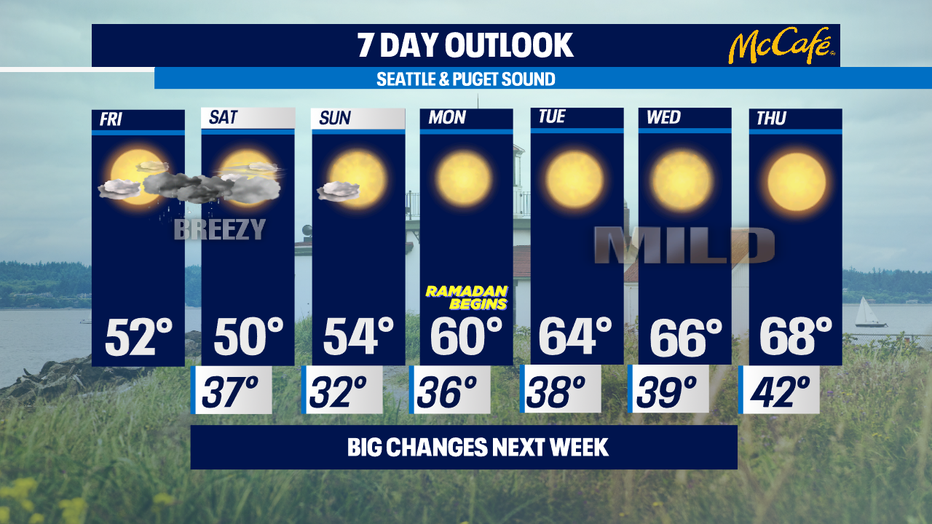
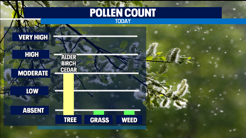
The second half of the weekend looks sunnier and drier and we're trending significantly warmer next week. Mid 60s look likely by Wednesday. Maybe even upper 60s on Thursday. 68 would be a normal high temperature for June 2nd, not the second week in April. The temperatures about 10 degrees above normal next week will mean pollen counts will be soaring into the High and Very High categories.
In a typical year in Seattle, we usually hit 70 for the first time by April 15th. It'd be nice to get this unseasonably chilly spring back on track towards normal. -Tim Joyce