Brief cool down to end our arid August
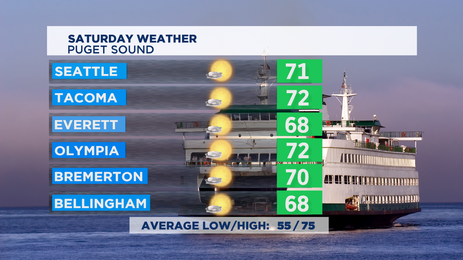
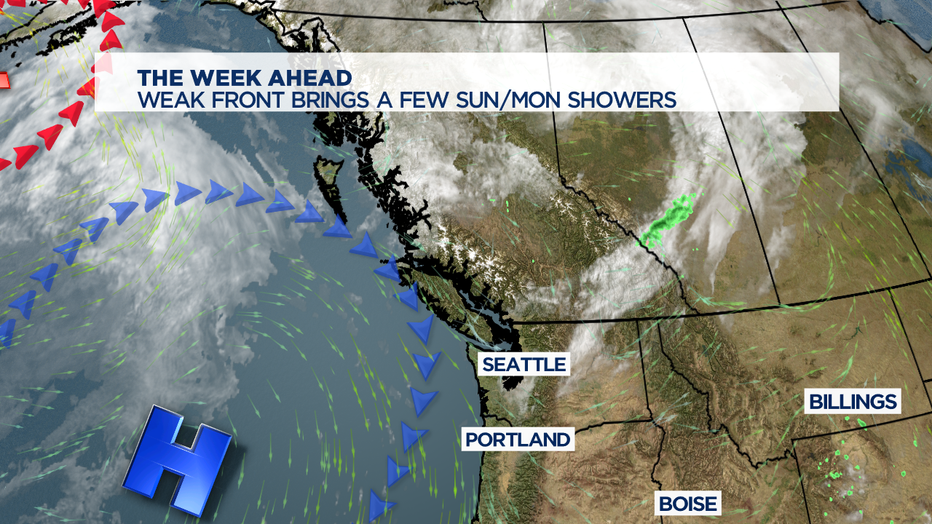
SEATTLE - After a fantastic Friday, we're going to see a slight change this weekend. A weak front brushing the NW that will delivers a slight cool down, more morning clouds. Sunshine returns by the afternoon, with temps topping out in the comfortable upper 60s and low 70s. Normal high is mid 70s for this part of late August.

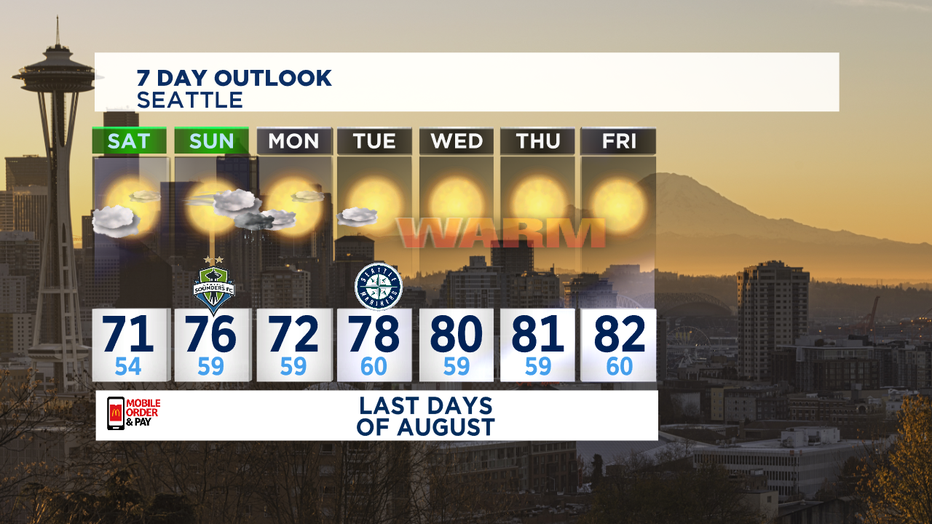
High pressure in control for Saturday afternoon, Saturday night looking really nice, overnight into Sunday looks pretty mild as well. Sunday fewer morning clouds and warmer temps. I think we'll manage seasonal mid 70s for Sunday with warmer temps in the South Sound and the foothills getting closer to 80. HIgh clouds look to move in late afternoon for most of us.

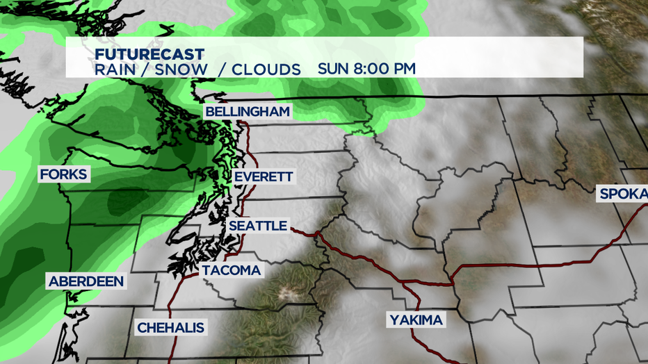
Timing on the next front looks like late Sunday/early Monday. Most of the updated computer forecast models are coming into alignment to bring those raindrops into Puget Sound after dinner time on Sunday.

I'm not expecting any huge soaking or anything. August is still our 2nd driest month of the year, and I think we wont make up August's decent rain deficit before we dry out Monday afternoon. (We've only seen about 30% of average August rainfall.) As we flip the calendar to September, we'll also end up with a new weather pattern.

High pressure comes back and builds a little closer to the coast-- which will result in several days in a row of temps flirting with 80 for a few hours each afternoon. So, a nice stretch of summer warmth as we head into the Labor Day weekend. Signs point to a nice holiday weekend, but stay tuned as details come into focus this coming week. -Tim Joyce

