

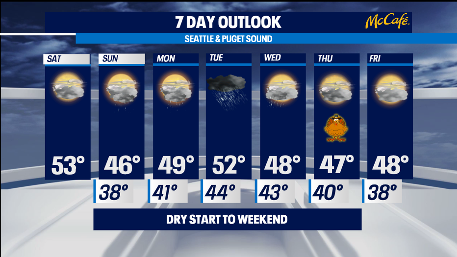
Dry Saturday, Rain returns Sunday
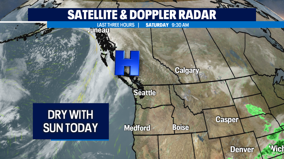
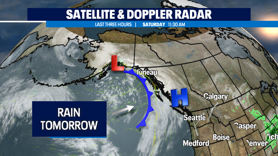
seattle - Happy Saturday! Brief ridge of high pressure will keep us dry conditions today and some sunbreaks. Clouds will increase throughout the day though ahead of a cold front that will bring scattered showers in the lowlands and mountain snow on Sunday. Highs today will be around 53°.
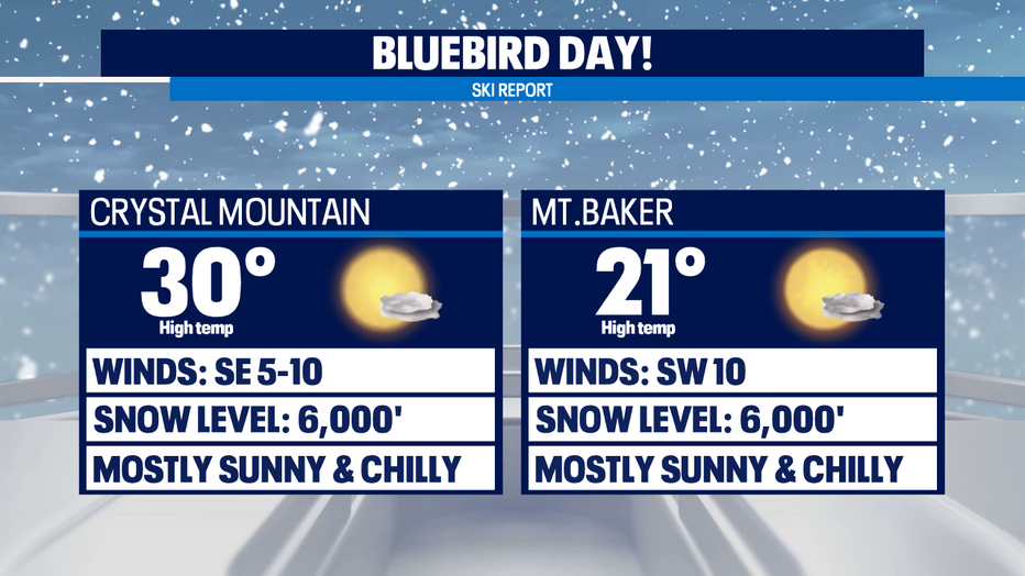
Crystal Mountain and Mt. Baker are open for skiers and snowboarders and it's going to be a bluebird day! Highs will be around 30° at Crystal and 21° at Mt. Baker under mostly sunny skies. Tomorrow will be colder, snowy, and breezy as a cold front approaches Sunday and drops snow levels down to 2,500ft. Most spots will receive half to an inch of snow, but higher elevations may receive 3-5" of accumulations.
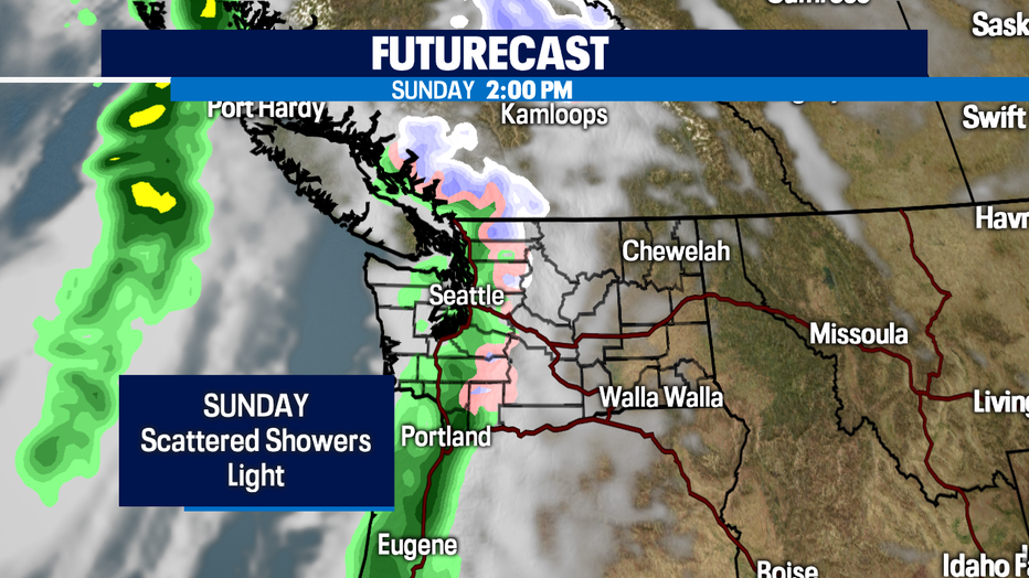
Rain will arrive for the coast Sunday morning and spread inland through the afternoon. A convergence zone may set up Sunday evening, around the dinner time hour. Rain will be scattered and light. Rain totals are not impressive at all, so I would keep all your plans and have the rain gear with you. Highs will be cooler around 46°.
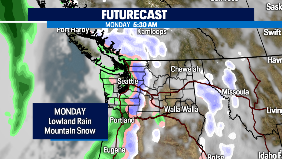
Another cold front will arrive late Sunday night on the coast and spread inland overnight and into Monday morning's commute. This looks to be a weak system too but will deliver scattered showers and keep our snow levels below pass level, delivering more fresh snow.
A stronger system arrives Tuesday bringing widespread rain and windy conditions. Timing of arrival looks to be early Tuesday morning. Lingering showers are possible Wednesday and then we dry it out just in time for Thanksgiving!
Have a great day!
-Q13 Meteorologist Grace Lim