

Seattle weather: Early fog and lots of sunshine Thursday and Friday
Morning fog, afternoon sunshine Thursday
Early Thursday and Friday mornings, there could be spotty fog or even freezing fog.
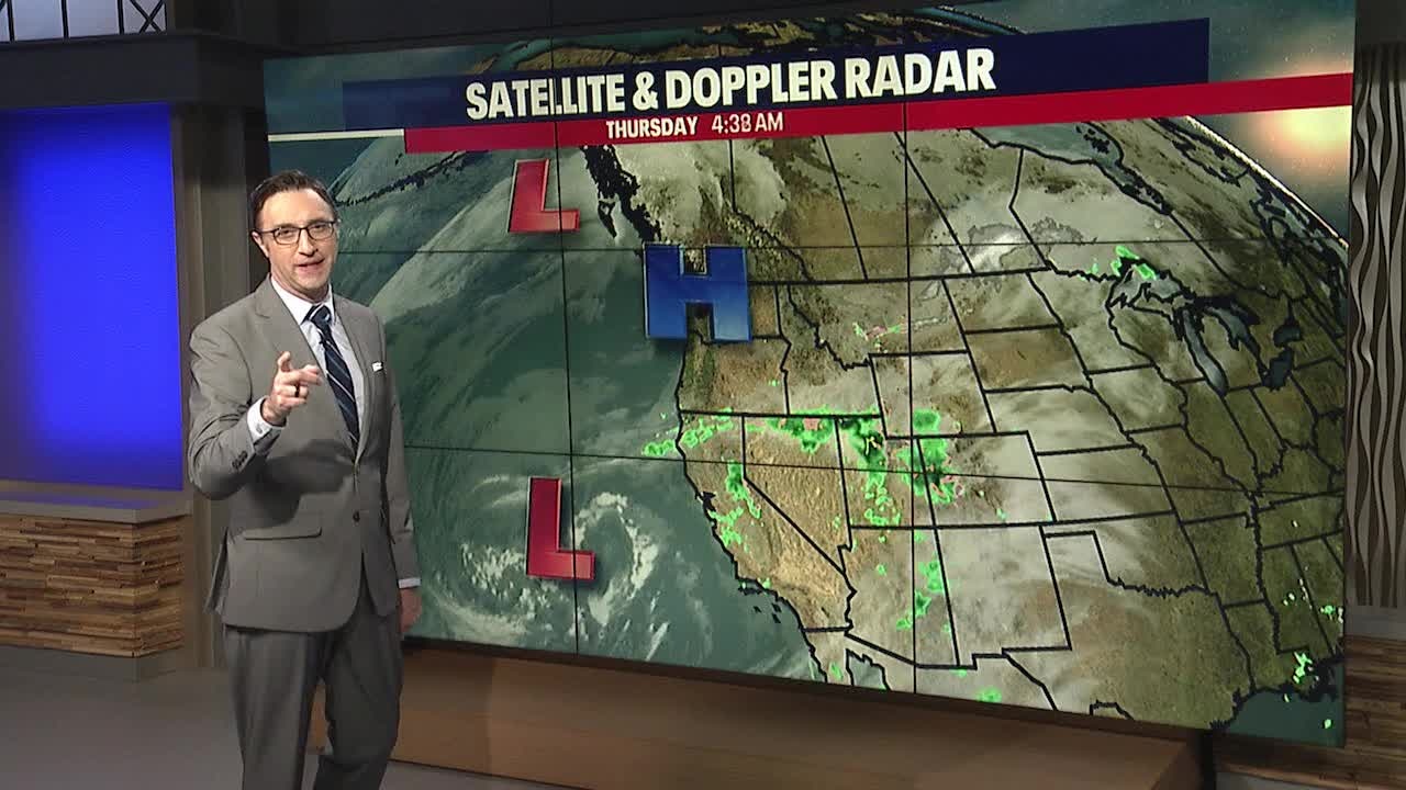
Seattle - A ridge of high pressure will bring patchy morning fog and lots of sunshine to Western Washington Thursday and Friday.
Areas of low level clouds made for a beautiful sunrise from our Capitol Hill camera atop our television tower in Seattle.

It has been a cool week in Western Washington with temps at or below average the past seven days. Temperatures will continue to trend close to average the next seven days.

Halfway through the month, November has measured over five inches of rain, with more on the way. November is the wettest month of the year on average in Seattle and we could use above average rainfall after several dry months in a row.

After some patchy morning fog, it will be sunny all day. High temperatures will remain cool, in the mid to upper 40s. Friday will bring a repeat, with brief morning fog and afternoon sun. Temps will be a little warmer in the morning and afternoon on Friday.

Saturday morning, you'll notice increasing high clouds, followed by mid to low level clouds in the late afternoon. The next storm system will hit late Saturday into Sunday morning bringing widespread rain and locally gusty wind at times. Winds will not be as strong as what we saw late last week. Showers will taper off Sunday morning.

Snow levels will be dropping this weekend, but may not drop low enough in time to impact Snoqualmie Pass on Sunday. We'll have to wait and see. Six to 12 inches of snow are possible by Sunday morning over Washington, Stevens, and White passes.

Another round of rain will hit the lowlands Tuesday evening into Wednesday.
Enjoy this beautiful weather the next two days!
