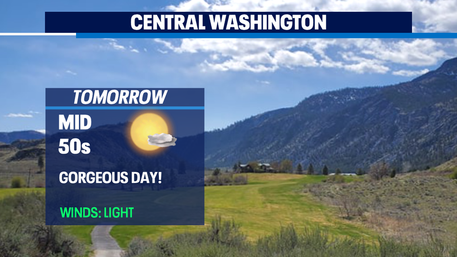
Fantastic conditions across the state will continue through the first half of the weekend!

Seattle - Happy Thursday all!
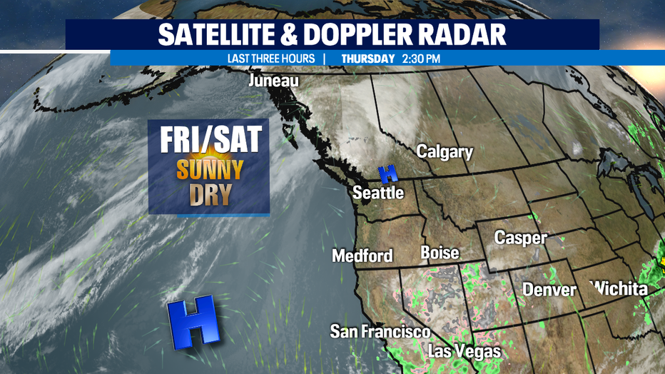
What a beautiful day we saw from the Coast to the Cascades into Eastern Washington... and we'll do it again tomorrow too! This all thanks to a nice ridge over the area allowing for gorgeous skies and warmer highs through the first part of the weekend.
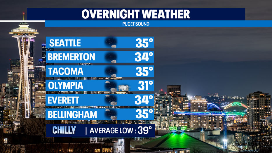
Overnight look for mostly clear to partly cloudy skies with some areas seeing patchy fog develop. We'll start out Friday on the chilly side for sure. Some of us out of the gate will be in the low 30s. Brr! Our normal overnight low is 39 for this time of year.
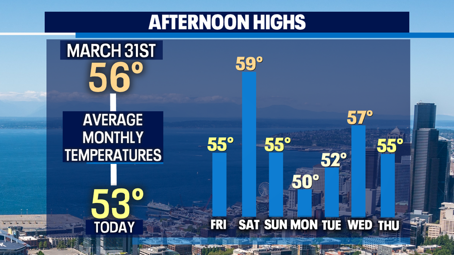
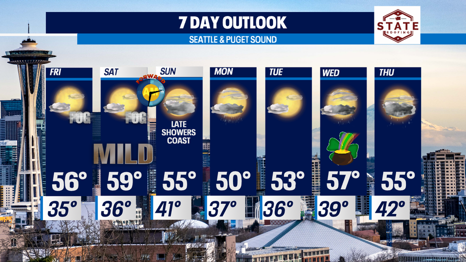
High temperatures will jump above average Friday and push towards 60 on Saturday. Then we cool off into the to mid to low 50s by Sunday into Monday with warmer days into the middle of the work week.
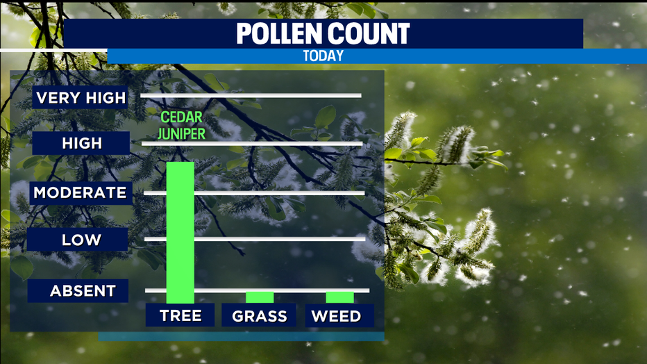
With the dry, sunny days those who suffer from allergies will feel the itch! Tree pollens are in the moderate to high zone and will hang there through the first half of the weekend.
The overall 7Day trend looks really nice with just a few days of showers in between our dry stretches. Don't forget to "Spring Forward" late Saturday night into early Sunday morning. We'll gain a little more daylight as the sun will set Sunday just after 7pm!
Next week is the last week of the Winter season. Spring officially kicks off next weekend, March 20th at 2:38am.
Have a super night all! ~Erin Mayovsky, Q13 Forecaster
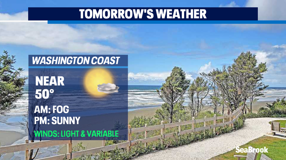
*Beach Forecast:
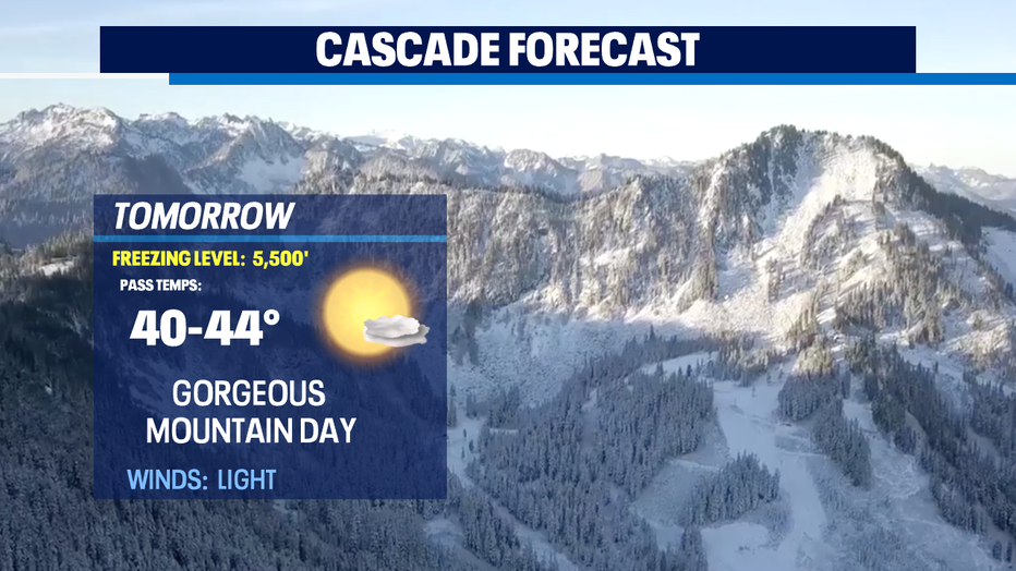
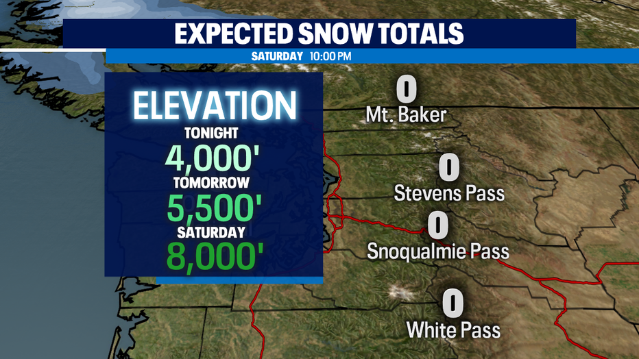
*Mountain Forecast:
*Eastern WA: