

February goes out with a bang to end the month
Seattle - Talk about a beautiful day! Highs peaked in the upper 40s (48 degrees) under sunny skies. The sunset wasn't too bad either.

A new frontal system is approaching our region. This will increase the cloud cover tomorrow morning and then the rain, mountain snow, and gusty winds kick up. Most of us will be dry through the majority of the day and then the rain trickles in, late in the day.
Here is the timing:
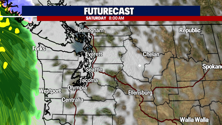


Scattered to widespread rain will happen in waves throughout the weekend. I can't even rule out some sun breaks (especially on Sunday).

Rain accumulation will range between 1-1.5" to finish off the month of February (Monday night). That will be helpful! However, it still looks like we'll end the month with below average rain totals
Mountain snow will also increase too. I'll tell you what - we need it! Parts of the cascades will be under a *Winter Weather Advisory*. We can expect up to 2' of wet snow by the end of the 7-day forecast. Use caution traveling through the passes this weekend (especially late Sunday and early Monday).
On top of that, we'll be under a beach hazard (stronger waves) starting Saturday afternoon. The winds will kick up and a couple of *Wind Advisories* will go into effect.
Here is a look at all the weather alerts in place with this new system:


Here is a look at what we can expect to finish off the month:

Use caution out there as we get ready for the changes. We'll be with you every step of the way!
Have a good one.