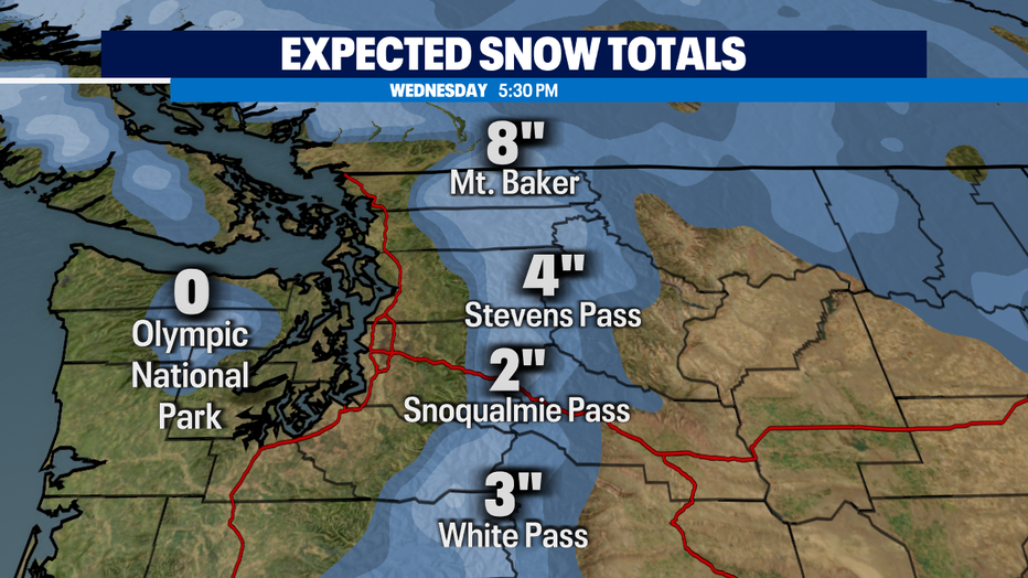
First pass level snow possible late Tuesday

Morning fog, chilly start to Monday
Monday will start with morning fog and chilly temperatures. FOX 13 Morning News meteorologist says we could see some snow in the Cascades from Tuesday into Wednesday.
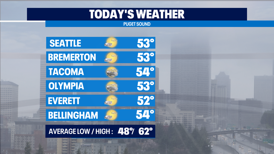
Seattle - After some overnight showers, western Washington is mainly dry this morning. We are seeing some fog in areas to start the day, but that should evaporate quickly. This morning was cold, with many outlying areas in the 30s.
The rest of your Monday will be mainly dry, but still cool with high temps only reaching the low to mid 50s. That’s about 10 degrees below average for this time of year.
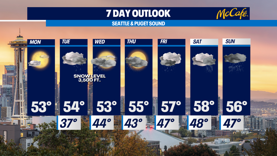
Tuesday is going to start dry, but widespread rain showers will return by the evening commute. This chilly system will also drop snow levels to around 3,000-3,500 feet. We could see 1-3" of snow at Snoqualmie Pass and 3-5" at Stevens Pass by Wednesday morning.
Another round of lighter showers hits Thursday morning, followed by some heavier rain on Friday.
Cooler than average weather continues through the weekend, with the first half of Saturday looking like our best shot at some dry time.
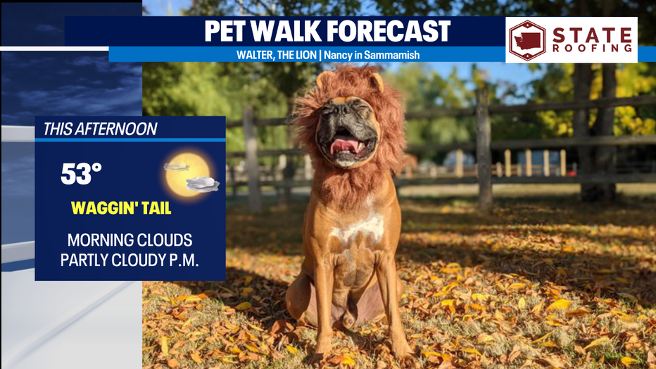
Walter the Lion will enjoy some time in the sun today with this Waggin’ Tail forecast!