

Heating up: Excessive Heat Watch issued for Western Washington

Temperatures climbing back into the 90s this week in Western Washington
Q13 News Meteorologist M.J. McDermott has a hot 7-day forecast for Western Washington.
SEATTLE - After our comfortable weekend with a little rain, we're drying up, sunning up and heating up again.
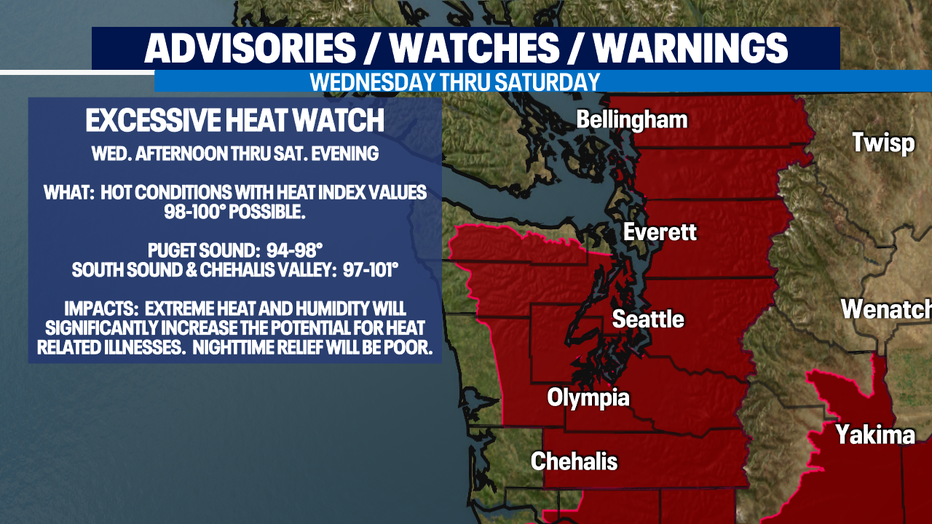
The National Weather Service has posted an EXCESSIVE HEAT WATCH starting Wednesday afternoon through Saturday evening for hot temps that will feel even hotter due to high (for us) humidity. The heat combined with the humidity create a "heat index," otherwise known as the "feels like" temperature. The heat index for Thursday & Friday will be near 100 degrees for Seattle southward.
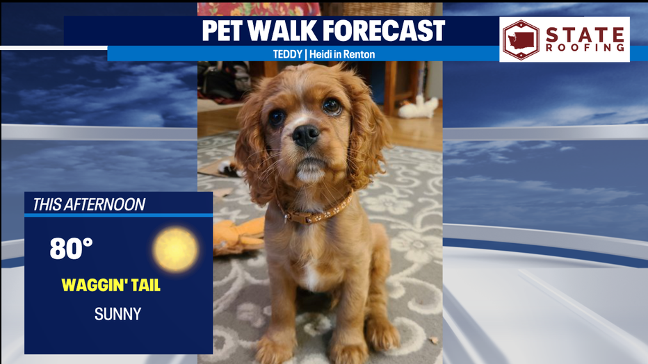
Today, we're starting out with clouds, but eventually the sun will take hold and we'll top out around normal, around 80.
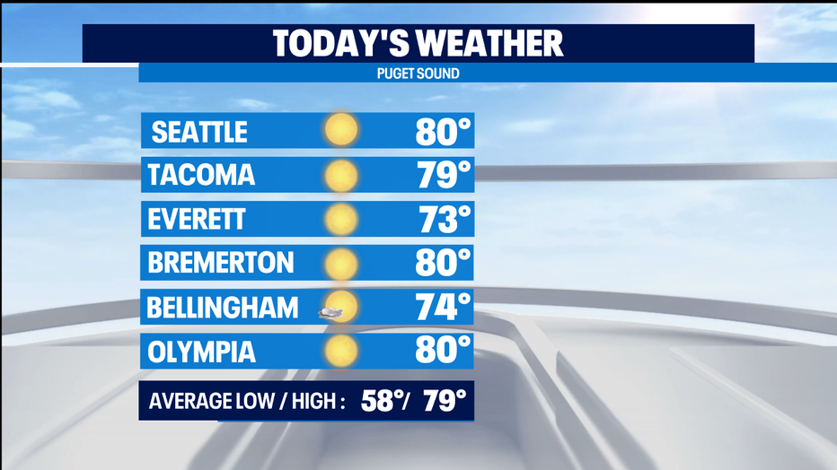
Tomorrow, it'll be sunny and we'll climb into the low/mid 80s.
Wednesday, we'll be close to 90, but it will feel warmer due to the heat index.
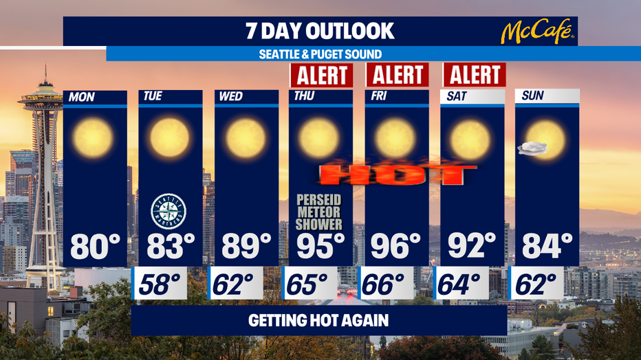
Thursday and Friday, Seattle will hit potentially record-breaking temperatures. The record for Thursday is 96 and the forecast is 95. The record for Friday is 92 and the forecast is for 96, so the record is likely to go down that day. The record for Saturday is 95 and the forecast is for 92.
Sunday, we'll cool down to the 80s again.
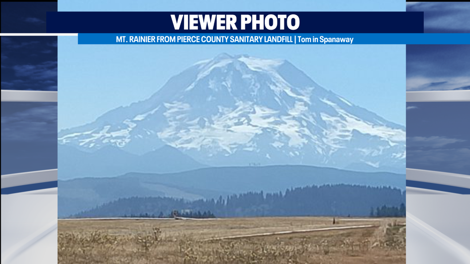
It's Mountain Monday and I love this photo of Mt. Rainier taken from the Pierce County Sanitary Landfill! In Western Washington, you can find a beautiful view anywhere!
It's the Dog Days of Summer! And here's a cute puppy on this "Waggin' Tail Day."
-Meteorologist M.J. McDermott
Q13 FOX WEATHER RESOURCES:
DOWNLOAD: Q13 Weather and News Apps
WATCH: Forecast and Radar
READ: Closures and Delays
CHECK: Latest Weather Alerts and Live Traffic Map
INTERACT: Submit your Weather Photo
DAILY BRIEF: Sign Up For Our Newsletter
FOLLOW: Lisa Villegas, MJ McDermott, Erin Mayovsky, and Scott Sistek