More rain on the way with cooler highs Friday, but a nice weekend on tap!
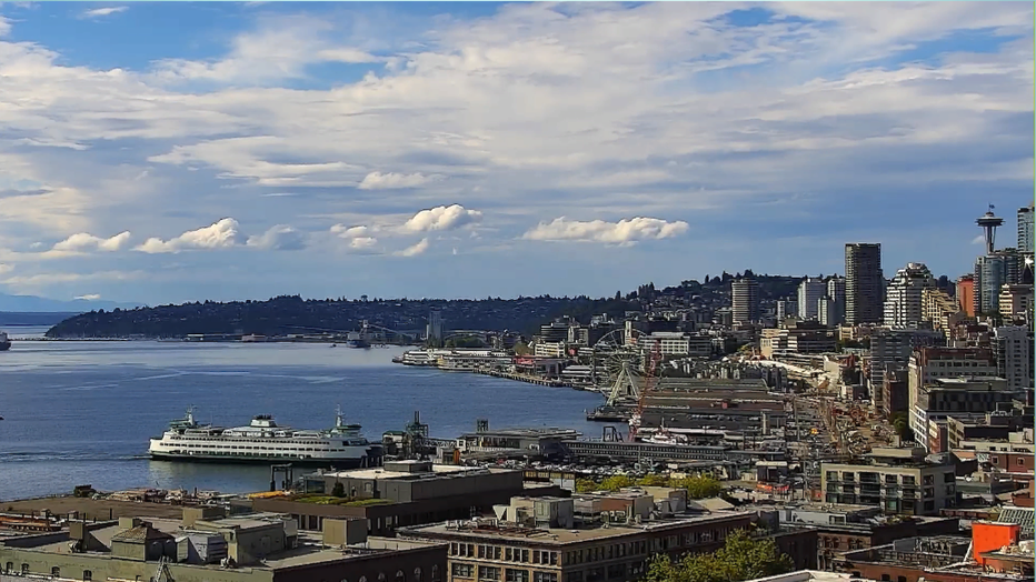
SEATTLE - We saw a little bit of everything today.... rain, sunshine, mugginess, and temps pushing above the average again into the upper 70s to low 80s. We have now seen 34 days this year at 80 or more this year. Normal is 26 days and we most likely see a few more as early as late next week. Here's a look at home we did today.
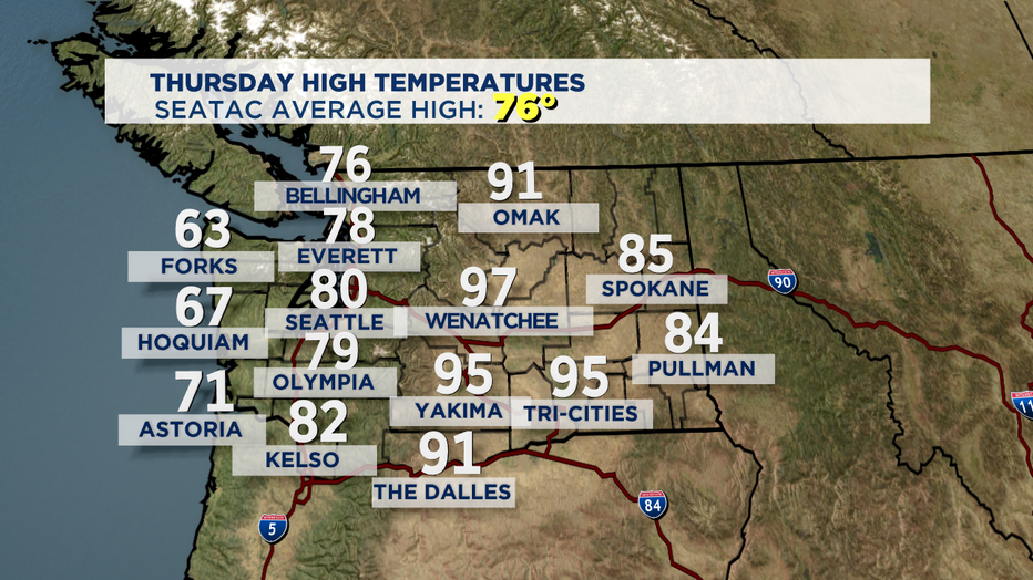
Tonight, we will stay warmer than normal with most of us staying in the low to mid 60s. Rain will head inland overnight too as the next front pushes in delivering more widespread showers to the area for the morning commute and much of Friday. Our ocean beaches will be breezy tomorrow, gusting up 25 mph out of the south at times. We may see a slight chance of thunderstorms storms as well, mainly to the north and in the mountains. Highs for Friday for Puget Sound will drop back down into the mid 70s. Along the coast look for cooler temperatures in the mid to upper 60s.
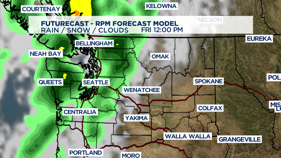
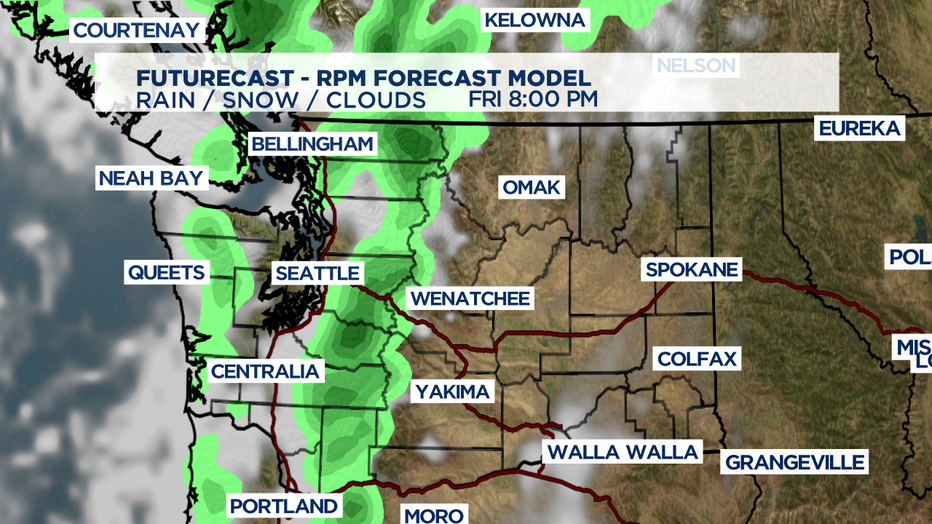
Most showers will be gone by late Friday night. Clouds will clear out overnight and lift by Saturday morning. The first part of the weekend a few clouds will hang on while Sunday brings more blue skies. Highs climb from the mid 70s to the upper 70s.
Monday will be dry, but we may see a little more cloud cover throughout the day as a weak trough passes. These conditions may roll into Tuesday, but highs will remain in the upper 70s.
Weak ridging will build back in by Wednesday keeping us mostly sunny and dry. Highs by the end of the week will be very close to 80s.
Keep the sunscreen handy and be safe! ~Erin
_________________________________
- Erin Mayovsky, Q13 Forecaster
Twitter: @ErinMayovsky
FB: /ErinMayovsky
Instagram: @ErinMayovsky
________________________________