

One hit wonder of a Wednesday before rain returns
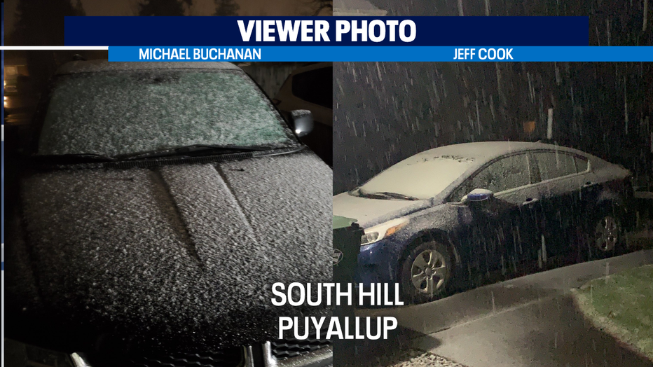
Seattle - The very active convergence zone of rain and hail and light snow in higher lowland locations from last night has dissipated— and despite a few overnight and AM flurries and sprinkles-- a drier day is ahead for the region.
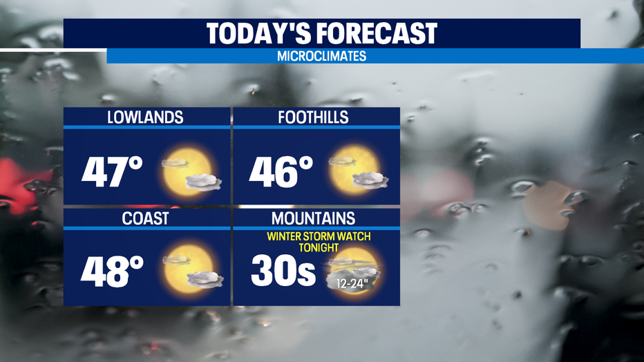
Later this morning, we'll see a mix of sun & clouds. By the late afternoon, high clouds will fill in our skies. A bit chillier than normal with temps again in the mid to upper 40s-- but compared to the rest of this month's wild weather-- today qualifies as pretty pleasant.
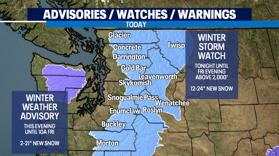
It's a one hit wonder though as this dry spell will be short lived. Another weather system moves in Thursday. We'll see more lowland rain and mountain snow both Thursday and a bit less so on Friday, but the snow could have big impacts on travel over the passes and getting back/forth from the resorts.
Still looking like a decent weekend with a mostly dry Saturday that now looks to last through the weekend with just a chance of showers Sun/Mon.
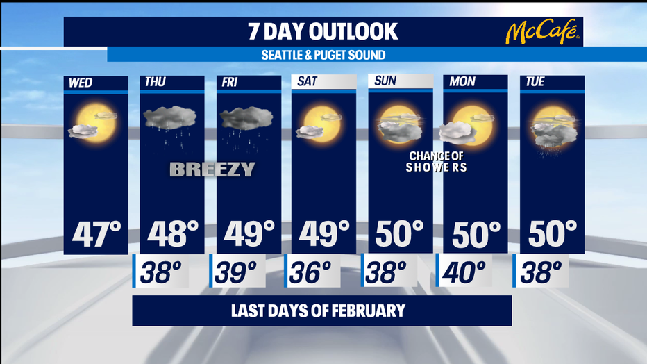
That makes this year's start to March much more lamb than lion. Seasonal temps continue into Tuesday as lowland rain/mountain snow pattern comes back. -Tim Joyce