

Scattered lowland rain and mountain snow Saturday, active pattern on the way starting tonight
SEATTLE - A few showers are moving across the lowlands this morning and snow in the mountains.
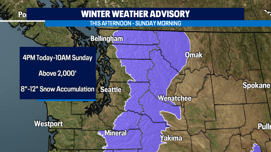
A Winter Weather Advisory is in effect for the Cascades from 4 p.m. Saturday through 10 a.m. Sunday where 8"-12" of snow accumulation is expected above 2,000'. The highest snow totals will be in Stevens Pass southward.

Rain sweeps through for the weekend
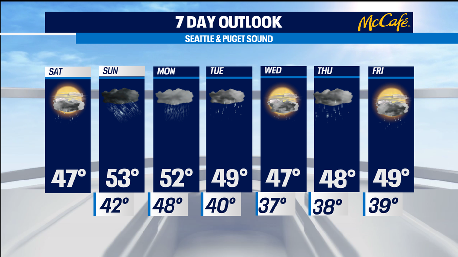
Cloudy for Saturday, then this evening rain returns and will stick around through the weekend and into the work work week. Q13's Grace Lim details when to expect a break in rainshowers.
An atmospheric river will bring a very wet weather pattern starting tonight and lasting through Tuesday.
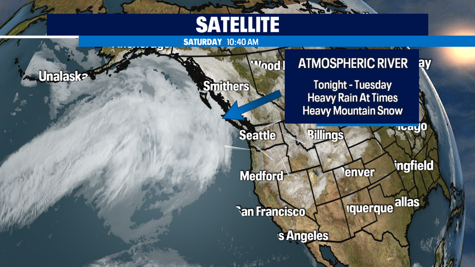
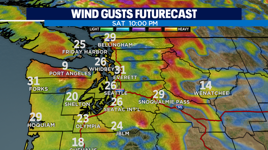
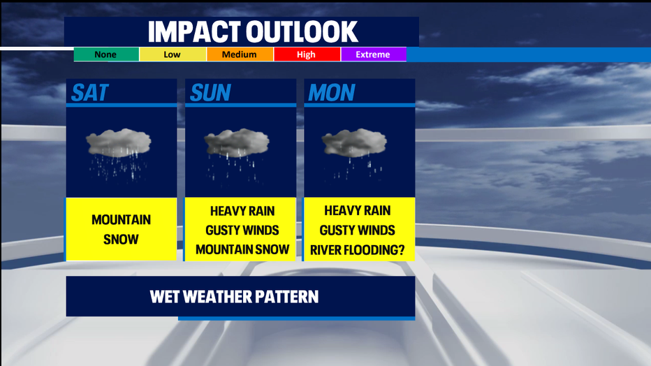
Expect rain chances to become widespread tonight in the lowlands and winds to pick up as well, with gusts as high as 25mph tonight. Another round of gusty conditions are expected Sunday night-Monday. The Cascades will get hit with heavy and impactful snow and A Winter Storm Watch will go into effect Sunday afternoon through Tuesday morning above 4,000'.
With waves of moderate rain Sunday into early next week, there is a threat of river flooding Sunday night through Tuesday for the Skokomish River in Mason County. Current forecasts show it will reach a minor flood stage Monday morning and crest by the afternoon/evening. We'll continue to monitor it.
A ridge of high pressure on Wednesday will bring a short break in the active weather for the first half of the day. This will be followed by additional systems Thursday and Friday.
Have a great day!
-Q13 Meteorologist Grace Lim
Stay connected with Q13 News on all platforms:
DOWNLOAD: Q13 News and Weather Apps
WATCH: Q13 News Live
SUBSCRIBE: Q13 FOX on YouTube
FOLLOW: Facebook | Twitter | Instagram