

Seattle Weather: Wet and windy weekend ahead

SEATTLE - After a cool few days, afternoon highs on Friday will warm just a bit into the 50s in many spots. Clouds will increase throughout the day ahead of our next rainmaker for this weekend.
There is a slight chance for some light showers, mainly north and along the coast. Snow is also possible in the Olympics.

By this weekend, a cold front will arrive, increasing our rain chances in the lowlands and snow in the mountains. Snow levels will be around 3,000'. Moderate to heavy rain is possible between Saturday night and early Sunday morning. Some locations may see up to an inch of rain.
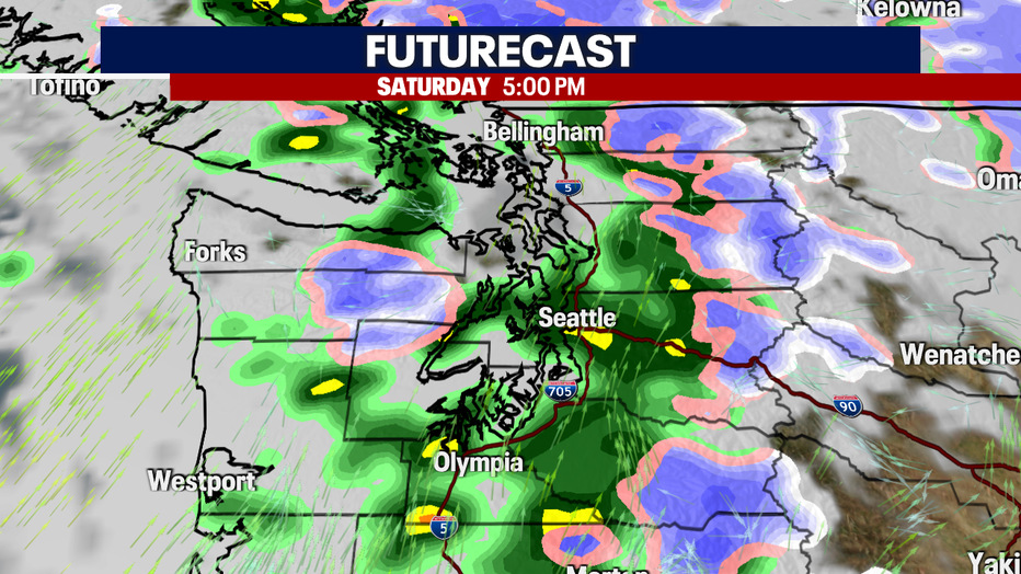
As the cold front and area of low pressure moves onshore, winds will also pick up. Winds may be gusty at times with some spots between 30 and 40 mph.

With a series of storms lined up for the next few days, our mountains may pick up between 1 and 2 feet of snow.

By the middle of the week, showers will begin to taper and Thursday looks mainly dry with afternoon highs in the upper 50's. Looking at some of the longer-range temperature forecasts, it does look like we may break 60 degrees by next weekend!
