Seattle weather: Showers come to an end early Friday, more sunbreaks ahead

Showers come to an end early Friday, more sunbreaks ahead
After a busy few days of rain, gusty winds, thunderstorms and even some high elevation snowflakes, we are in for some calmer weather heading towards the weekend!
After a busy few days of rain, gusty winds, thunderstorms and even some high elevation snowflakes, we are in for some calmer weather heading towards the weekend!
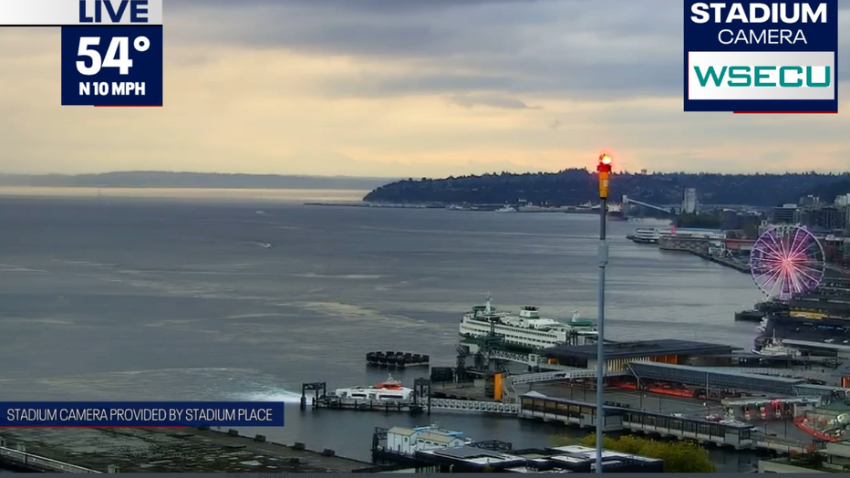
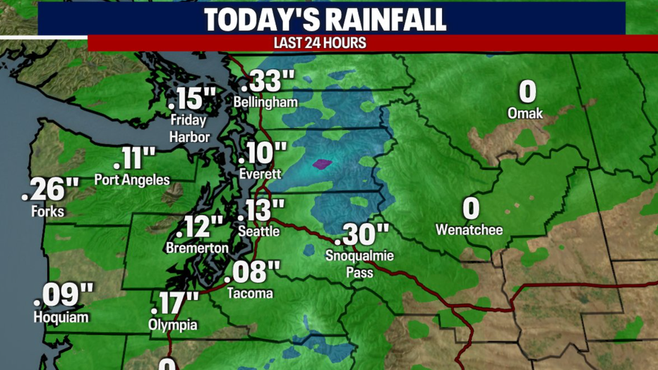
Highs Thursday topped out in the low 60s, which is below average compared to the normal of 68 degrees for this date. We saw just over a tenth of an inch in Seattle today, making it the 6th day of consistent rain. For the monthly total, it is now over double the average amount we see in September - coming in at 3.31" (not including Thursday's official totals).
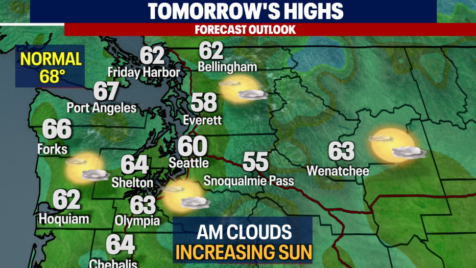
Skies will slowly dry out into Friday morning with highs still in the low 60s, but there will be increasing sunshine.
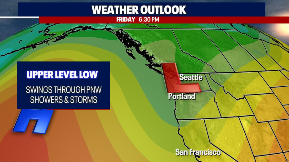
The upper-level trough over the Pacific Northwest will slowly move eastward and out of the area by Friday afternoon. High pressure aloft will move in bringing more sunshine and drier skies.
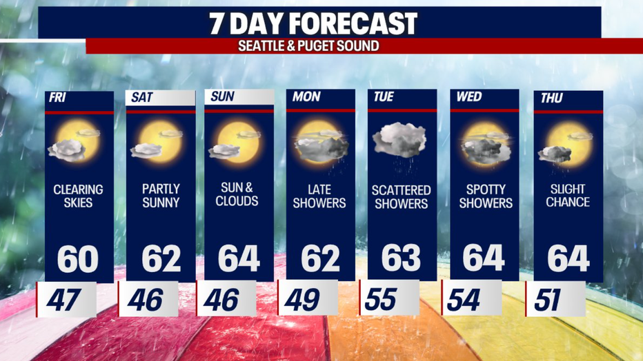
Highs for the weekend will stay below average, but it will be partly sunny and dry. The next round of showers moves in early next week.