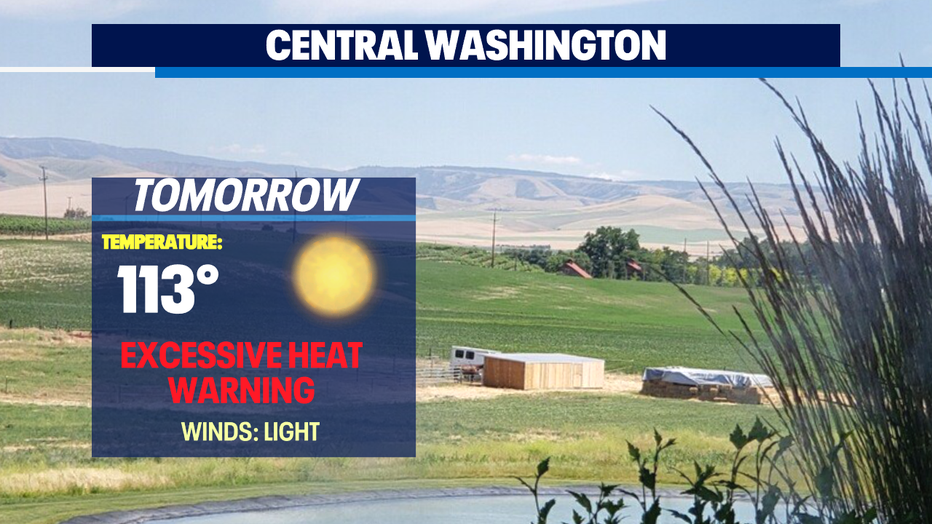
Western Washington cooling off, eastern region under an Excessive Heat Warning through 4th of July

Sunny and cooler temps this week
Out of the record-breaking temperatures and into the "cool" 80s for the PNW Wednesday. Q13 News forecaster, Erin Mayovsky has the latest temperature trends.
SEATTLE - What a difference a day makes!
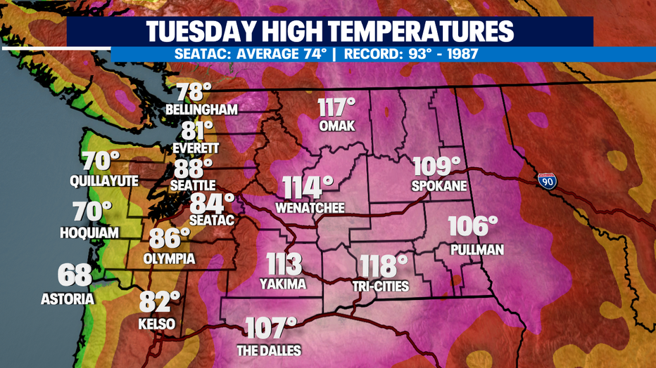
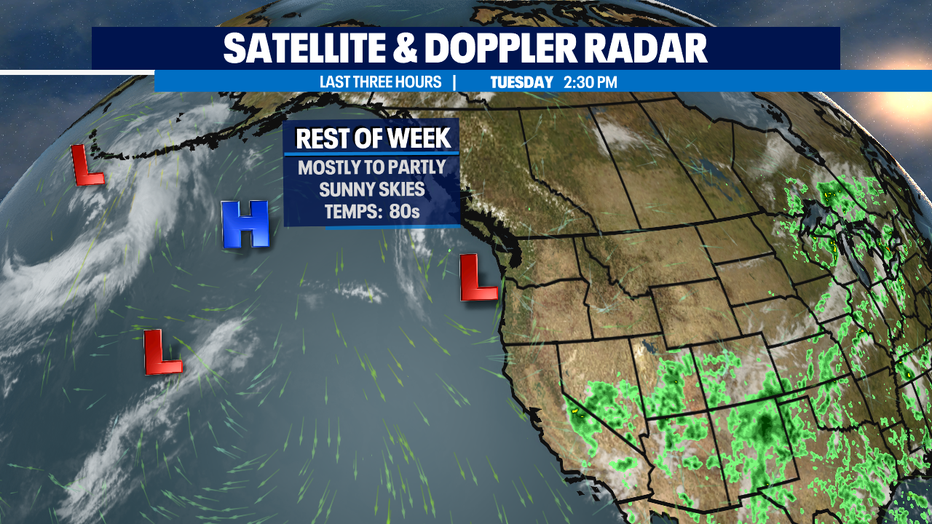
The sea breeze is really cooling down western Washington, especially along the coast. High temperatures on Tuesday only reached the mid-80s inland with 60s and 70s at the coast. Unfortunately, eastern Washington is still in a world of hurt dealing with highs above 100 and they won't cool off anytime soon.
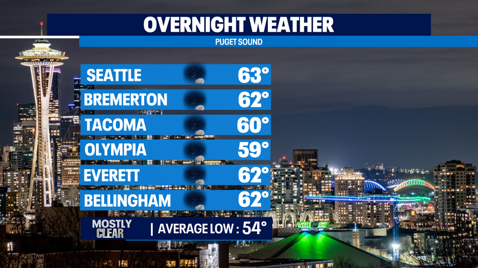
Overnight temps will drop into the upper 50s to low 60s making sleeping conditions much more comfortable! You might even need a blanket while you sleep or maybe just a sheet!
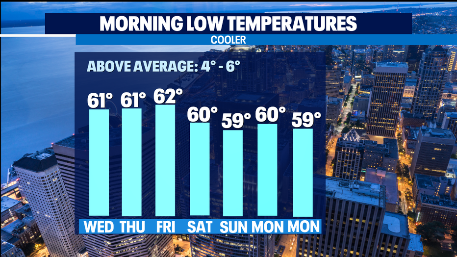
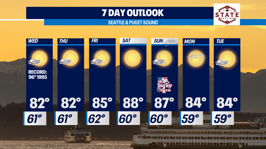
Cooler, but above-average temperatures will continue through the week. Instead of 90s and 100-plus highs, we'll see the 90s again all thanks to the arrival of cooler marine air pushing inland through the 4th of July! We will be very dry for the foreseeable future which will intensify the fire risk across the region.
Please be aware of regulations or restrictions in your community during the holiday and keep in mind our grounds are tinder dry. Our rain outlook non-existent making for a tough fire season.
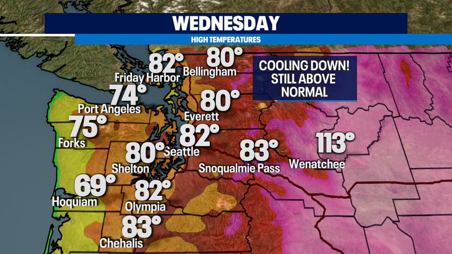
Wednesday highs will drop a few more degrees into the upper 70s to low 80s.
We will hang in the low 80s through Thursday and Friday with Saturday and Sunday jumping up a few degrees into the upper 80s before cooling off to start the work week!
Stay cool all! Have a great rest of the week!
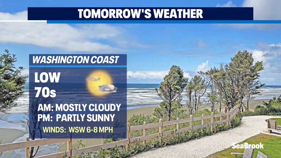
*Beach Forecast
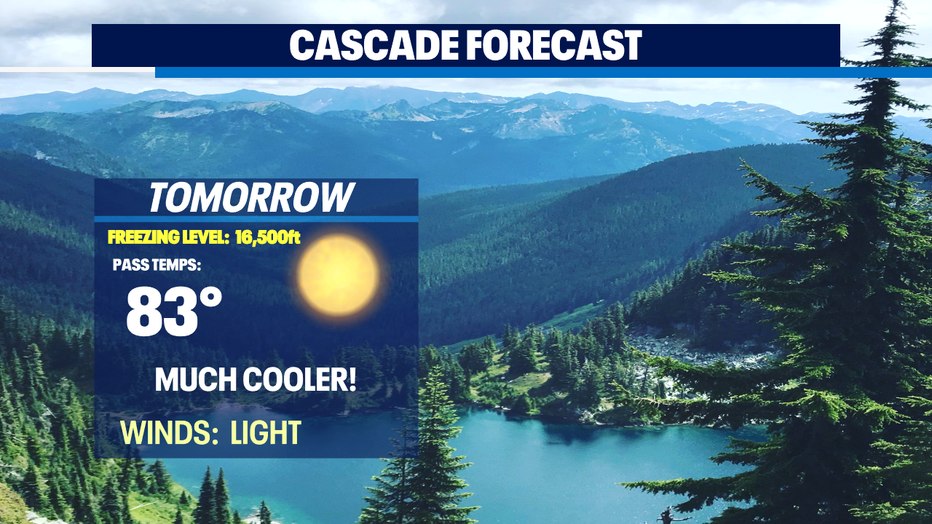
*Mountain Forecast
*Central WA