Here comes the heat!
SEATTLE -- A ridge of high pressure is building from the toasty southwest U.S. and we will be included in the western heat wave the next few days.
Starting out today with some clouds and areas of fog, but this should burn off and today will be mostly sunny and much warmer, topping out around 80 or just above, 70s to the north and on the coast. The weekend will be sunny and warmer, with highs in the low-to-mid 80s.
It'll be even warmer next week -- Monday and Tuesday will be sunny with highs in the upper 80s to near 90 in Seattle, warmer in the Cascade foothills and to the south. It looks like Tuesday will be the warmest day and we'll start to cool it off a big after that.
Wednesday -- mostly sunny, low 80s. Thursday, the 4th of July, is looking pretty pleasant and more comfortable -- morning clouds, afternoon clearing, highs in the mid 70s.
Viewer photos of the day . . .

Orca sighting from Pt. Wilson (Whidbey Island in the background). From Russ.

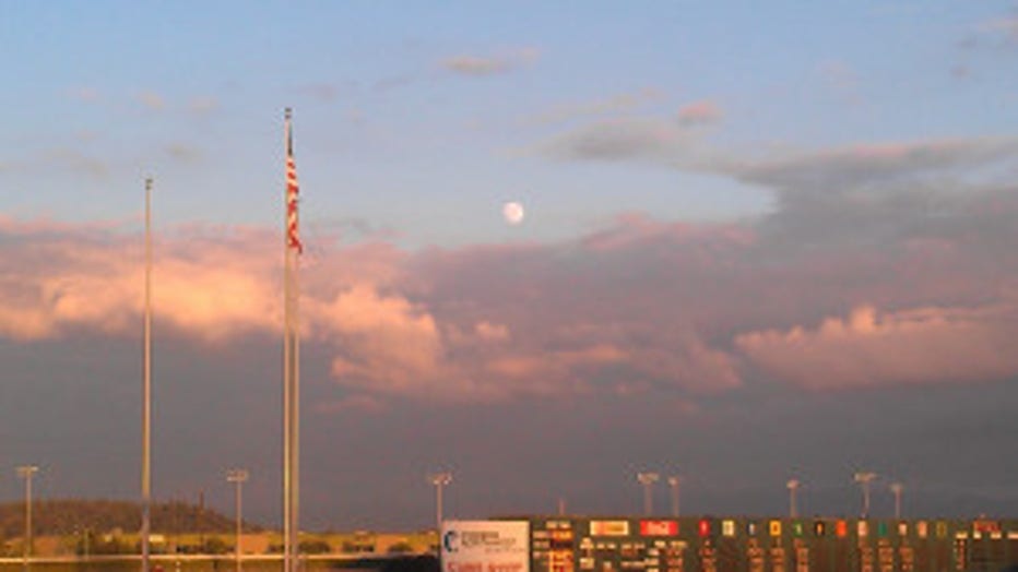
Sunset with Super Moon over Emerald Downs. From Melissa in Tacoma.

