

Seattle weather: Warmer highs this week, with breezy evening winds

Feeling like summer: Warm week ahead!
FOX 13 Forecaster Nikki Torres is tracking a downright WARM week ahead, with clouds clearing and temperatures in the 80s!
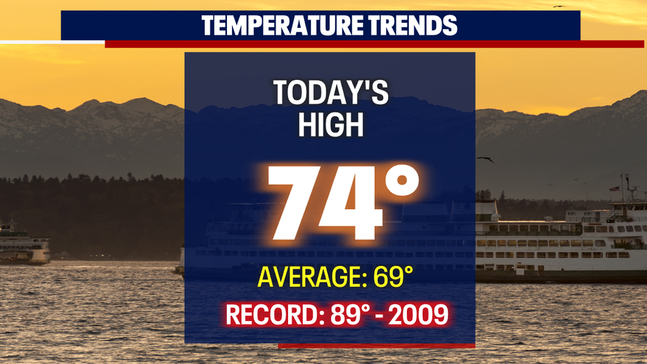
SEATTLE - The low to mid 70s ride continues! Highs on Saturday for the Central and South Sound went soaring into the low to mid 70s. SeaTac hit 74 at the airport.
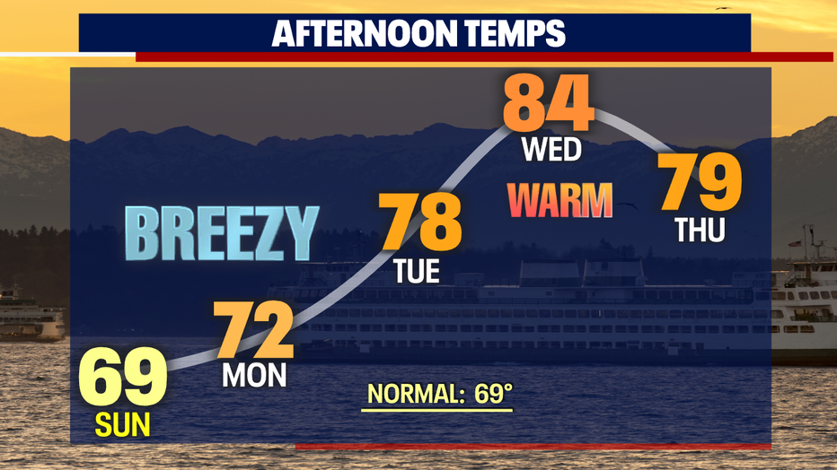
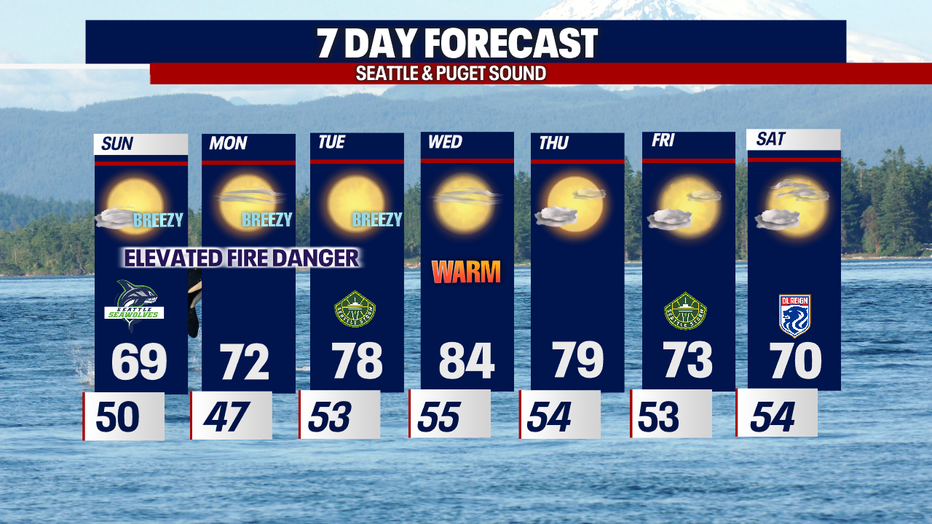
We'll cool a few degrees Sunday, but then climb back into warmer highs through the extended forecast with Wednesday the hottest day of the week.
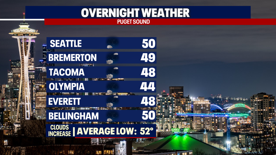
Overnight skies will remain clear to partly cloudy. Temperatures cool into the mid to upper 40s.
Any clouds that are with us when we wake up will lift quickly for another pretty Northwest day.
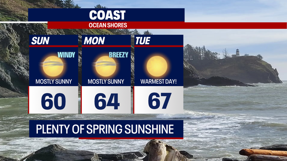
Highs around Western WA range from the mid 60s at the coast to upper 60s for the Central and North Sounds with low 70s for the South Sound.

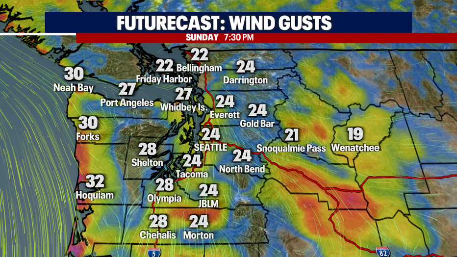
As we move into Sunday afternoon/evening winds will start to become a bit breezy at times out of the north. We're forecasting sustained 10-20mph with gusts 20-28mph.
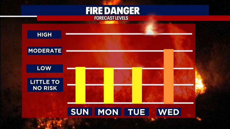
We'll hang in a similar pattern Monday and Tuesday with winds gusting in the afternoon and evening hours. With gusty winds, dry grounds, and relative low humilities this combination elevates the fire danger across not only Western WA, but Eastern WA too.
And because of this forecast the King County Fire Marshal has issued a Stage 1 burn ban that will remain in effect until further notice. This burn ban applies to all outdoor land clearing & residential yard debris burning.
Highs start to heat up to near 80 by Tuesday with even warmer highs on Wednesday as a ridge to the east strengthens.
We'll cool off slightly by the end of the week into next weekend with sunshine the continuous theme. Enjoy!
Have a great rest of the weekend! ~Erin Mayovsky, FOX 13 Forecaster
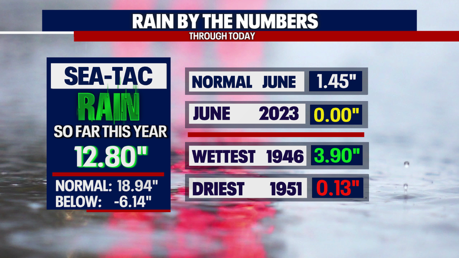
*SeaTac Rain Almanac
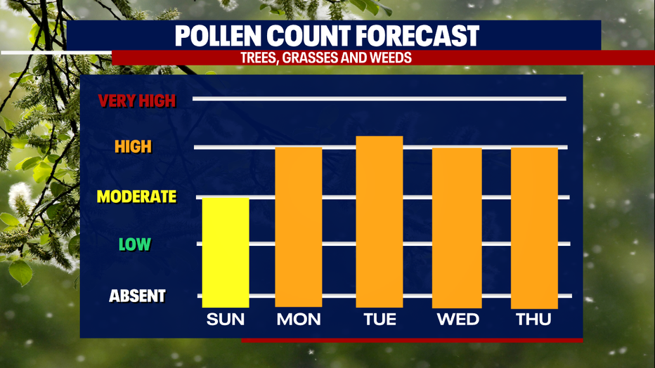
*Pollen Forecast
*Coast Forecast
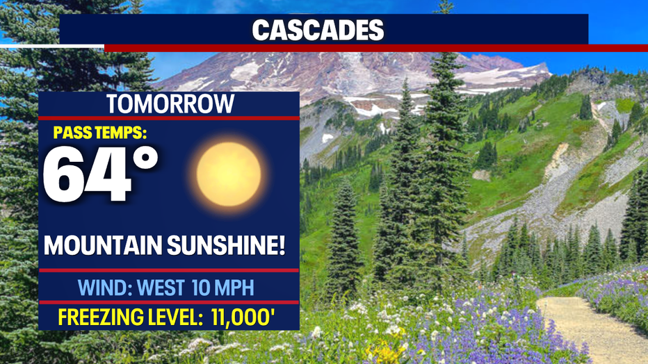
*Mountain Forecast
*Central WA Forecast
