Seattle weather: A break from the rain Tuesday

Drier skies on Tuesday
Highs will be on the cooler side again Tuesday, with temperatures in the mid to low 50s.
After some brief morning showers, Tuesday will turn mainly dry with afternoon sunshine in the mix.
Showers could linger in the Cascades this afternoon, but the lowlands will see some sunshine mixed with clouds, with high temperatures a few degrees below average for this time of year.
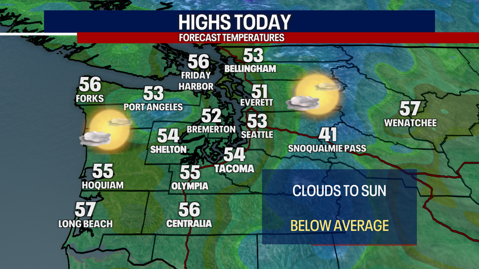
It will be a cool Tuesday in western Washington with morning clouds and afternoon sunshine. (FOX 13 Seattle)
The next round of rain arrives midday Wednesday as a frontal system sweeps through the Pacific Northwest. This wet system will also bring gusty winds at times to the coast and the usual areas in the north Puget Sound. Gusts could reach up to 40 mph in those spots.
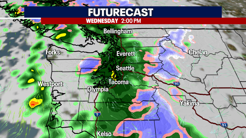
Widespread rain returns to the Puget Sound area Wednesday afternoon. (FOX 13 Seattle)
Snow is also possible at the higher Cascade passes (like Stevens and White passes). Snow levels will be between 3,000 and 4,000 feet Wednesday through Friday. Up to six inches of snow is possible Wednesday through Friday morning.
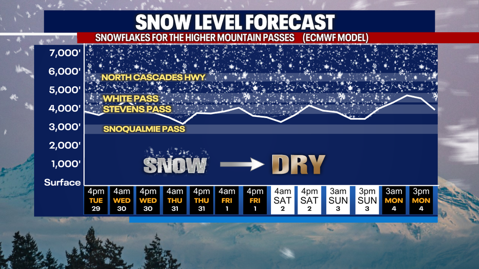
Snow levels will be between 3,000 and 4,000 feet in the Washington Cascades the rest of this week. (FOX 13 Seattle)
The forecast has improved for Halloween, with only a few light showers expected. Temperatures will be around 50 degrees as the sun goes down, and it should be more dry than wet.
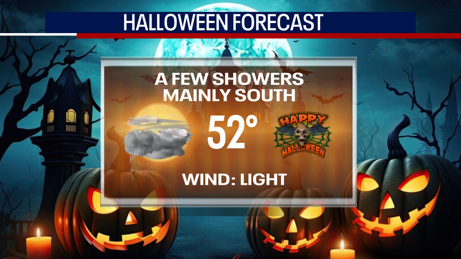
Light showers are possible on Halloween, but most of the action should stay south of Seattle. (FOX 13 Seattle)
The next dry spell comes just in time for the weekend, but it will remain cool to start November, with highs only reaching the low 50s.
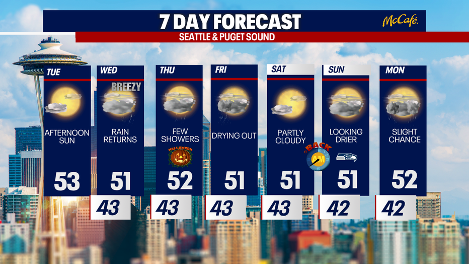
The next week will feature cool showers and plenty of dry time in Seattle. (FOX 13 Seattle)

